


MapSherpa Catalog
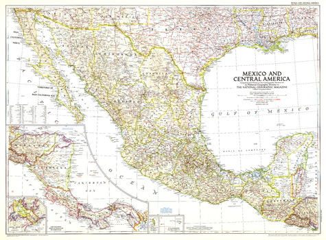
Mexico and Central America - Published 1953
National Geographic
This map is unique in that it combines Mexico and Central America, showing the expansion of transportation in the region as roads and parts of the Pan American Highway were being built. At the time of this publication in March 1953, many regions of Central America relied on air travel as the principal means of modern transportation. Honduras in particular had more airports that roadways.
Page Size: 37 x 27.25 in (937 x 690 mm)
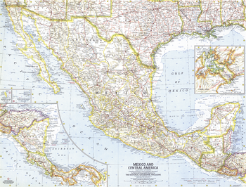
Mexico and Central America - Published 1961
National Geographic
This map of Mexico and Central America was created in the same month that Hurricane Hattie struck the coast of British Honduras (now Belize) and nearly destroyed Belize City. The capital was moved further inland to Belmopan in 1970. This map contains insets of the islands of Guadalupe and Revilla Gigedo, as well as the Panama Canal Zone. Published in October 1961.
Page Size: 25 x 19 in (631 x 478 mm)
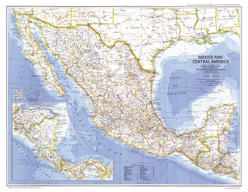
Mexico and Central America - Published 1980
National Geographic
The magnificent Aztec civilization left an abundance of temples, pyramids, and ruins throughout Mexico and parts of Guatemala. This map of Mexico and Central America was published in December 1980 as a companion to the "Visitor's Guide to the Aztec World" map and two articles on the Aztecs.
Page Size: 25.75 x 20 in (650 x 505 mm)
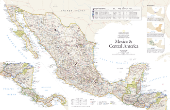
Mexico and Central America - Published 2007
National Geographic
This vibrant political map of Mexico and Central America was published in August 2007 as half of a two-map set with a physical map of the country. Features country and state boundaries, cities, highways, airports, national parks, and information about each country including Guatemala, Belize, El Salvador, Honduras, Nicaragua, Costa Rica, and Panama.
Page Size: 31.25 x 20.25 in (790 x 511 mm)
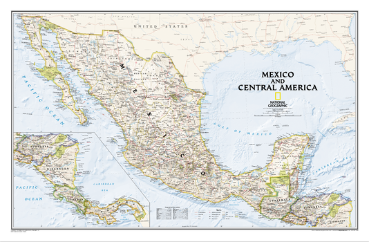
Mexico and Central America Map
National Geographic
As compared with our separate maps of Mexico and Central America , this map provides a contextual view of the region, and includes political boundaries, place names, waterways, major roads, parks and preserves, shaded relief, and more.
Page Size: 34.75 x 22.75 in (876 x 575 mm)
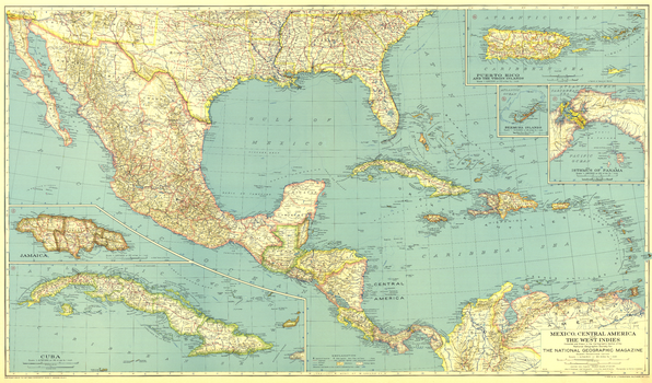
Mexico, Central America and the West Indies - Published 1934
National Geographic
Published in December 1934, this map of Mexico, Central America and the West Indies accompanied three articles on Mexico and the West Indies including "Hunting Useful Plants in the Caribbean." Broad in its scope of the region, this map includes inset maps of the isthmus of Panama and several major islands.
Page Size: 40.5 x 23.75 in (1026 x 602 mm)
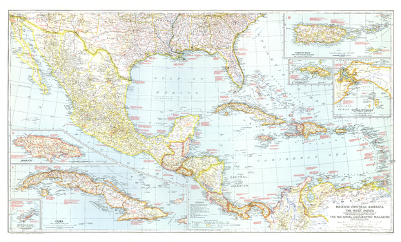
Mexico, Central America and the West Indies - Published 1939
National Geographic
The map of Mexico, Central America and the West Indies published in National Geographic Magazine in December 1939 accompanied the article "Puerto Rico: Watchdog of the Caribbean." A wealth of historical notes dot this map, including the dates of the the founding of many cities, the explorers who named them, Aztec and Maya sites, and more.
Page Size: 41.5 x 25 in (1053 x 634 mm)
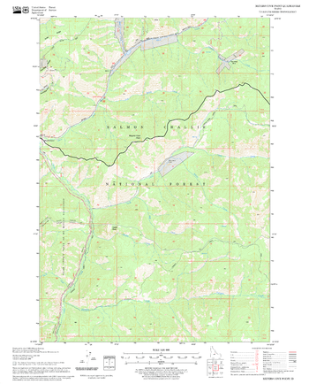
Meyers Cove Point Quadrangle, Idaho
United States Forest Service
United States Department of Agriculture Forestry Service topographical map of Meyers Cove Point, Salmon-Chalis National Forest, Idaho.
Page Size: 21.75 x 27 in (552 x 686 mm)
Meyers Cove Quadrangle, Idaho
United States Forest Service
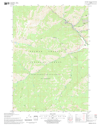
United States Department of Agriculture Forestry Service topographical map of Meyers Cove, Salmon-Chalis National Forest, Idaho.
Page Size: 21.75 x 27 in (552 x 686 mm)
Miami and Vicinity Map
GM Johnson
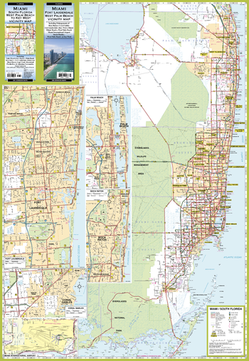
Miami / Fort Lauderdale / West Palm Beach, Florida Regional Map. South Florida (West Palm Beach to Everglades National Park) Vicinity Map. Including Enlargements of: Boca Raton, Coral Gables, Fort Lauderdale, Miami International Airport & Palm Beach.
Page Size: 27.25 x 39.5 in (692 x 1003 mm)
Miami, Florida - Landscape
MapSherpa
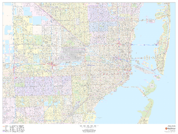
This landscape-oriented map of Miami, Florida shows detailed street level information including extensive street labeling. Ideal for planning of deliveries, home services, sales territories, real estate and much more. Base map features include all roads with major roads and highways labelled; neighborhood names; railways; high level land use such as parks and recreation areas, industrial areas and hospital campuses; and a variety of points of interest including schools, libraries, stadiums, museums, border crossings and more.
Page Size: 48 x 36 in (1219 x 914 mm)
Miami, Florida - Portrait
MapSherpa
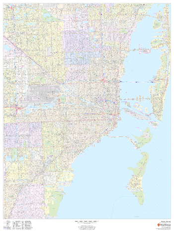
This portrait-oriented map of Miami, Florida shows detailed street level information including extensive street labeling. Ideal for planning of deliveries, home services, sales territories, real estate and much more. Base map features include all roads with major roads and highways labelled; neighborhood names; railways; high level land use such as parks and recreation areas, industrial areas and hospital campuses; and a variety of points of interest including schools, libraries, stadiums, museums, border crossings and more.
Page Size: 36 x 48 in (914 x 1219 mm)
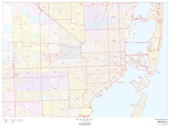
Miami, Florida ZIP Codes
MapSherpa
This map of Miami, Florida shows ZIP code areas overlaid on a road map. Ideal for planning of deliveries, home services, sales territories, real estate and much more. Base map features include all roads with major roads and highways labelled; neighborhood names; railways; and high level land use such as parks and recreation areas, industrial areas and hospital campuses.
Page Size: 48 x 36 in (1219 x 914 mm)
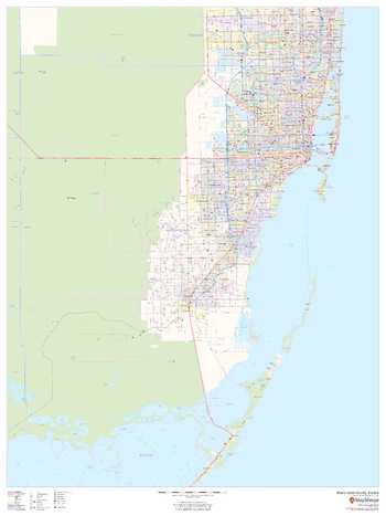
Miami-Dade County, Florida
MapSherpa
This map of Miami-Dade County, Florida shows regional level information. Base map features include highways and major roads with labelling; railways; high level land use such as parks and recreation areas; and a selection of points of interest including transportation hubs like airports and train stations, tourist information and police stations. ZIP code boundaries are shown as a secondary map feature.
Page Size: 36 x 48 in (914 x 1219 mm)
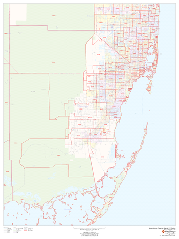
Miami-Dade County, Florida ZIP Codes
MapSherpa
This map of Miami-Dade County, Florida shows ZIP code areas overlaid on a road map. Ideal for planning of deliveries, home services, sales territories, real estate and much more. Base map features include all roads with major roads and highways labelled; neighborhood names; railways; and high level land use such as parks and recreation areas, industrial areas and hospital campuses.
Page Size: 36 x 48 in (914 x 1219 mm)
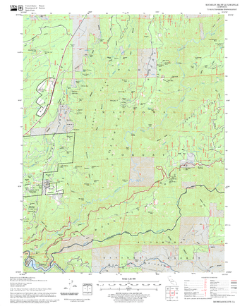
Michigan Bluff Quadrangle, California
United States Forest Service
United States Department of Agriculture Forestry Service topographical map of Michigan Bluff, Tahoe National Forest, California.
Page Size: 21.75 x 27 in (552 x 686 mm)
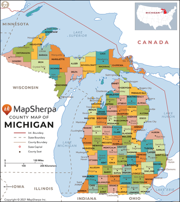
Michigan Counties Map - Extra Large
MapSherpa
This map has been created exclusively for MapSherpa, and designed for reference or business use. Clear and clean colors & fonts matched with cartographic research makes this map of Michigan Counties Map easily readable and useful. The map shows the 83 counties of Michigan and their borders across the Wolverine State.
Page Size: 60 x 67.75 in (1524 x 1716 mm)
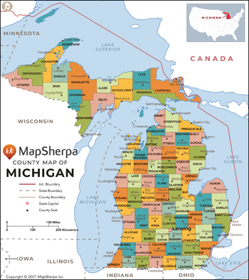
Michigan Counties Map - Large
MapSherpa
This map has been created exclusively for MapSherpa, and designed for reference or business use. Clear and clean colors & fonts matched with cartographic research makes this map of Michigan Counties Map easily readable and useful. The map shows the 83 counties of Michigan and their borders across the Wolverine State.
Page Size: 48 x 54.25 in (1219 x 1372 mm)
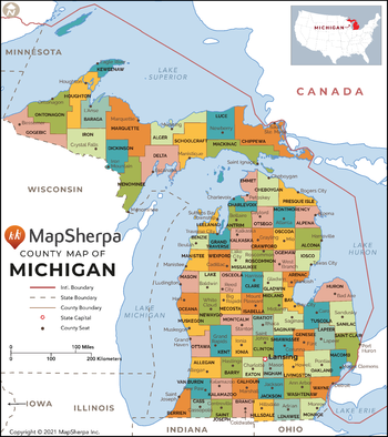
Michigan Counties Map - Standard
MapSherpa
This map has been created exclusively for MapSherpa, and designed for reference or business use. Clear and clean colors & fonts matched with cartographic research makes this map of Michigan Counties Map easily readable and useful. The map shows the 83 counties of Michigan and their borders across the Wolverine State.
Page Size: 36 x 40.75 in (914 x 1029 mm)
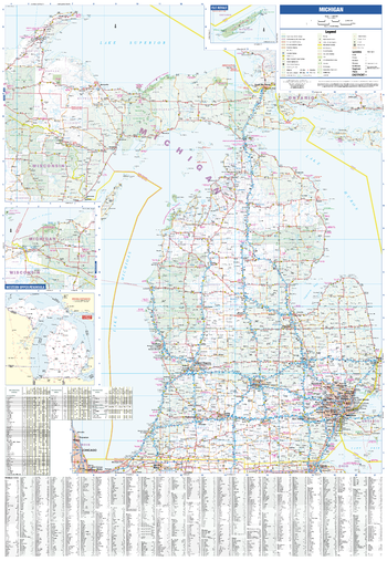
Michigan State Map
GM Johnson
Michigan State Map. Includes: Driving Distance Map, Recreation Table & Communities Index.
Page Size: 27.25 x 39.5 in (692 x 1003 mm)
No search results