


MapSherpa Catalog
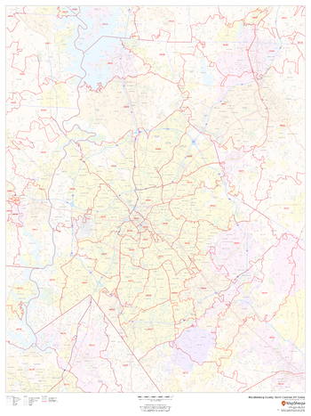
Mecklenburg County, North Carolina ZIP Codes
MapSherpa
This map of Mecklenburg County, North Carolina shows ZIP code areas overlaid on a road map. Ideal for planning of deliveries, home services, sales territories, real estate and much more. Base map features include all roads with major roads and highways labelled; neighborhood names; railways; and high level land use such as parks and recreation areas, industrial areas and hospital campuses.
Page Size: 36 x 48 in (914 x 1219 mm)
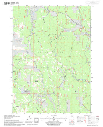
Medicine Mountain Quadrangle, South Dakota
United States Forest Service
United States Department of Agriculture Forestry Service topographical map of Medicine Mountain, Black Hills National Forest, South Dakota.
Page Size: 21.75 x 27 in (552 x 686 mm)
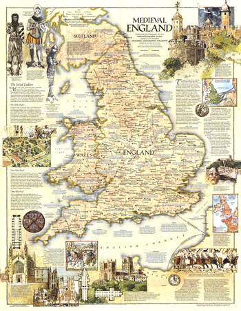
Medieval England - Published 1979
National Geographic
This map of Medieval England contains a wealth of historical information and sites as well as beautiful illustrations. Published in October 1979 as a companion to the modern map "British Isles".
Page Size: 22.75 x 29.25 in (575 x 743 mm)
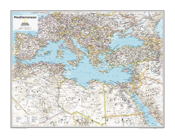
Mediterranean Region - Atlas of the World, 10th Edition
National Geographic
Page Size: 28 x 22 in (711 x 559 mm)
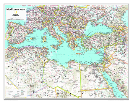
Mediterranean Region - Atlas of the World, 10th Edition – Compact
National Geographic
Page Size: 20.75 x 16 in (523 x 406 mm)
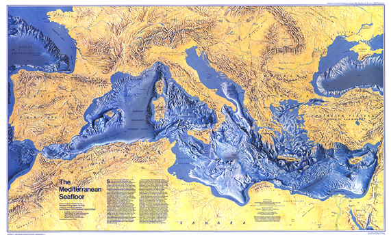
Mediterranean Seafloor - Published 1982
National Geographic
This distinctive physical map of the Mediterranean Seafloor provides stunning detail of submarine terrain, such as abyssal plains, troughs, valleys, basins, and countless seamounts. Published in December 1982 as a companion to the "Historic Mediterranean, 800 BC to AD 1500" map and three articles on the Mediterranean Sea.
Page Size: 37 x 22.75 in (935 x 573 mm)
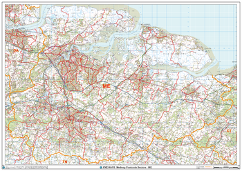
Medway - ME - Postcode Wall Map
XYZ Maps
The Medway Postcode Sector Wall Map shows detailed postcode sector boundaries (ME1 1, ME1 2) on a comprehensive background and is perfect for determining postcode boundaries for sales areas, planning mailshots and also an excellent reference for logistics. This wall map covers the whole of the ME Postcode Area.
Page Size: 47 x 33.25 in (1189 x 841 mm)
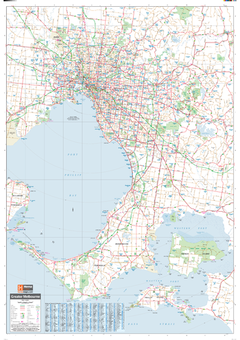
Melbourne & Region Supermap
Hema Maps
A large map of the Greater Melbourne region that is ideal as a reference and for planning sales and delivery zones.
Page Size: 39.5 x 56.25 in (1000 x 1429 mm)
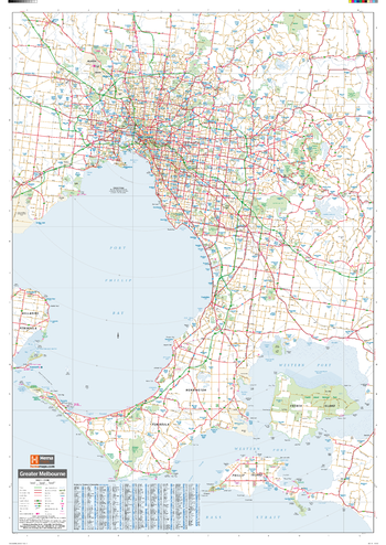
Melbourne & Region Wall Map
Hema Maps
A map of the Greater Melbourne region that is ideal as a reference and for planning sales and delivery zones.
Page Size: 27.75 x 39.5 in (700 x 1000 mm)
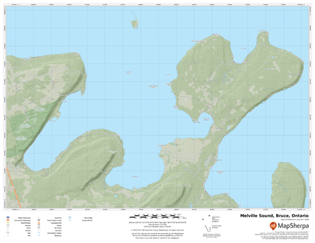
Melville Sound, Bruce, Ontario
MapSherpa
A cartographically beautiful map of Melville Sound, Bruce, Ontario ideal for showing off cottages, resorts, lakes and other favourite places.
Page Size: 22 x 17 in (559 x 432 mm)
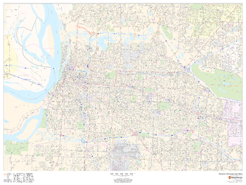
Memphis, Tennessee Inner Metro - Landscape
MapSherpa
This landscape-oriented map of central Memphis, Tennessee shows detailed street level information including extensive street labeling. Ideal for planning of deliveries, home services, sales territories, real estate and much more. Base map features include all roads with major roads and highways labelled; neighborhood names; railways; high level land use such as parks and recreation areas, industrial areas and hospital campuses; and a variety of points of interest including schools, libraries, stadiums, museums, border crossings and more.
Page Size: 48 x 36 in (1219 x 914 mm)

Memphis, Tennessee Inner Metro - Portrait
MapSherpa
This portrait-oriented map of central Memphis, Tennessee shows detailed street level information including extensive street labeling. Ideal for planning of deliveries, home services, sales territories, real estate and much more. Base map features include all roads with major roads and highways labelled; neighborhood names; railways; high level land use such as parks and recreation areas, industrial areas and hospital campuses; and a variety of points of interest including schools, libraries, stadiums, museums, border crossings and more.
Page Size: 36 x 48 in (914 x 1219 mm)
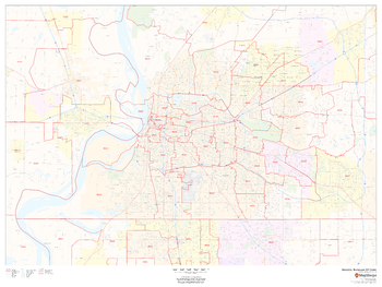
Memphis, Tennessee ZIP Codes
MapSherpa
This map of Memphis shows ZIP code areas overlaid on a road map. Ideal for planning of deliveries, home services, sales territories, real estate and much more. Base map features include all roads with major roads and highways labelled; neighborhood names; railways; and high level land use such as parks and recreation areas, industrial areas and hospital campuses.
Page Size: 48 x 36 in (1219 x 914 mm)
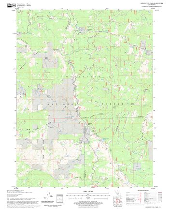
Mendocino Pass Quadrangle, California
United States Forest Service
United States Department of Agriculture Forestry Service topographical map of Mendocino Pass, Mendocino National Forest, California.
Page Size: 21.75 x 27 in (552 x 686 mm)
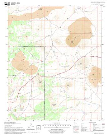
Merriam Crater Quadrangle, Arizona
United States Forest Service
United States Department of Agriculture Forestry Service topographical map of Merriam Crater, Coconino National Forest, Arizona.
Page Size: 21.75 x 27 in (552 x 686 mm)
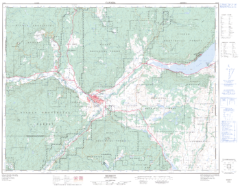
Merrit - 92 I/2 - British Columbia
Natural Resources Canada
Canadian topographic map of Merrit, British Columbia. NTS sheet 092I02 Edition 2.
Page Size: 32.5 x 25.25 in (821 x 640 mm)
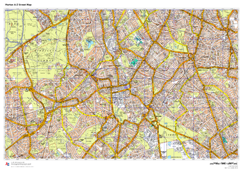
Merton A-Z Street Map
A-Z Maps
This up-to-date A-Z street map covers the London Borough of Merton, including the districts of Colliers Wood, Mitcham, Morden, Motspur Park, Raynes Park, South Wimbledon and Wimbledon.
Page Size: 33.25 x 23.5 in (841 x 594 mm)
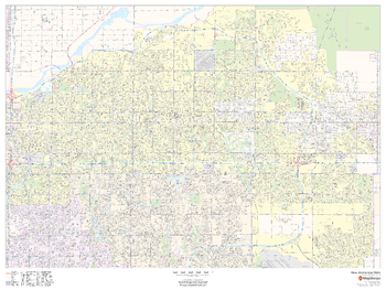
Mesa, Arizona Inner Metro - Landscape
MapSherpa
This landscape-oriented map of central Mesa, Arizona shows detailed street level information including extensive street labeling. Ideal for planning of deliveries, home services, sales territories, real estate and much more. Base map features include all roads with major roads and highways labelled; neighborhood names; railways; high level land use such as parks and recreation areas, industrial areas and hospital campuses; and a variety of points of interest including schools, libraries, stadiums, museums, border crossings and more.
Page Size: 48 x 36 in (1219 x 914 mm)
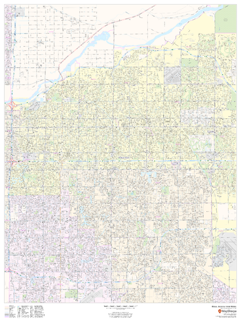
Mesa, Arizona Inner Metro - Portrait
MapSherpa
This portrait-oriented map of central Mesa, Arizona shows detailed street level information including extensive street labeling. Ideal for planning of deliveries, home services, sales territories, real estate and much more. Base map features include all roads with major roads and highways labelled; neighborhood names; railways; high level land use such as parks and recreation areas, industrial areas and hospital campuses; and a variety of points of interest including schools, libraries, stadiums, museums, border crossings and more.
Page Size: 36 x 48 in (914 x 1219 mm)
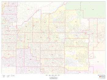
Mesa, Arizona ZIP Codes
MapSherpa
This map of Mesa, Arizona shows ZIP code areas overlaid on a road map. Ideal for planning of deliveries, home services, sales territories, real estate and much more. Base map features include all roads with major roads and highways labelled; neighborhood names; railways; and high level land use such as parks and recreation areas, industrial areas and hospital campuses.
Page Size: 48 x 36 in (1219 x 914 mm)
No search results