


MapSherpa Catalog
MasterMap B&W 1:1250 Flex
MapSherpa
The most detailed and comprehensive map data-set of Great Britain from the Ordnance Survey. Mapping data is updated quarterly so maps are always current. Maps are suitable for Planning applications and Land Registry purposes. Maps can be created in black and white at a flexible scale between 1:420 and 1:1,250.
MasterMap B&W 1:200
MapSherpa
The most detailed and comprehensive map data-set of Great Britain from the Ordnance Survey. Mapping data is updated quarterly so maps are always current. Maps are suitable for Planning applications and Land Registry purposes. Maps can be created in black and white at a fixed scale of 1:200.
MasterMap B&W 1:200 Flex
MapSherpa
The most detailed and comprehensive map data-set of Great Britain from the Ordnance Survey. Mapping data is updated quarterly so maps are always current. Maps are suitable for Planning applications and Land Registry purposes. Maps can be created in black and white at a flexible scale between 1:25 and 1:200.
MasterMap B&W 1:2500
MapSherpa
The most detailed and comprehensive map data-set of Great Britain from the Ordnance Survey. Mapping data is updated quarterly so maps are always current. Maps are suitable for Planning applications and Land Registry purposes. Maps can be created in black and white at a fixed scale of 1:2,500.
MasterMap B&W 1:2500 Flex
MapSherpa
The most detailed and comprehensive map data-set of Great Britain from the Ordnance Survey. Mapping data is updated quarterly so maps are always current. Maps are suitable for Planning applications and Land Registry purposes. Maps can be created in black and white at a flexible scale between 1:1,000 and 1:2,500.
MasterMap B&W 1:500
MapSherpa
The most detailed and comprehensive map data-set of Great Britain from the Ordnance Survey. Mapping data is updated quarterly so maps are always current. Maps are suitable for Planning applications and Land Registry purposes. Maps can be created in black and white at a fixed scale of 1:500.
MasterMap B&W 1:500 Flex
MapSherpa
The most detailed and comprehensive map data-set of Great Britain from the Ordnance Survey. Mapping data is updated quarterly so maps are always current. Maps are suitable for Planning applications and Land Registry purposes. Maps can be created in black and white at a flexible scale between 1:160 and 1:500.
MasterMap Colour 1:1250
MapSherpa
The most detailed and comprehensive map data-set of Great Britain from the Ordnance Survey. Mapping data is updated quarterly so maps are always current. Maps are suitable for Planning applications and Land Registry purposes. Maps can be created in colour at a fixed scale of 1:1,250.
MasterMap Colour 1:1250 Flex
MapSherpa
The most detailed and comprehensive map data-set of Great Britain from the Ordnance Survey. Mapping data is updated quarterly so maps are always current. Maps are suitable for Planning applications and Land Registry purposes. Maps can be created in colour at a flexible scale between 1:420 and 1:1,250.
MasterMap Colour 1:200
MapSherpa
The most detailed and comprehensive map data-set of Great Britain from the Ordnance Survey. Mapping data is updated quarterly so maps are always current. Maps are suitable for Planning applications and Land Registry purposes. Maps can be created in colour at a fixed scale of 1:200.
MasterMap Colour 1:200 Flex
MapSherpa
The most detailed and comprehensive map data-set of Great Britain from the Ordnance Survey. Mapping data is updated quarterly so maps are always current. Maps are suitable for Planning applications and Land Registry purposes. Maps can be created in colour at a flexible scale between 1:25 and 1:200.
MasterMap Colour 1:2500
MapSherpa
The most detailed and comprehensive map data-set of Great Britain from the Ordnance Survey. Mapping data is updated quarterly so maps are always current. Maps are suitable for Planning applications and Land Registry purposes. Maps can be created in colour at a fixed scale of 1:2,500.
MasterMap Colour 1:2500 Flex
MapSherpa
The most detailed and comprehensive map data-set of Great Britain from the Ordnance Survey. Mapping data is updated quarterly so maps are always current. Maps are suitable for Planning applications and Land Registry purposes. Maps can be created in colour at a flexible scale between 1:1,000 and 1:2,500.
MasterMap Colour 1:500
MapSherpa
The most detailed and comprehensive map data-set of Great Britain from the Ordnance Survey. Mapping data is updated quarterly so maps are always current. Maps are suitable for Planning applications and Land Registry purposes. Maps can be created in colour at a fixed scale of 1:500.
MasterMap Colour 1:500 Flex
MapSherpa
The most detailed and comprehensive map data-set of Great Britain from the Ordnance Survey. Mapping data is updated quarterly so maps are always current. Maps are suitable for Planning applications and Land Registry purposes. Maps can be created in colour at a flexible scale between 1:160 and 1:500.
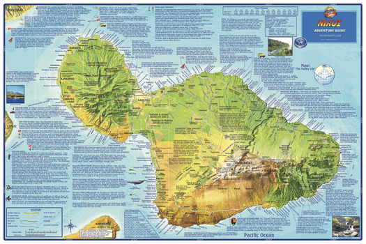
Maui, Hawaii Wall Map
Franko Maps
The entire island of Maui depicted on a detailed, dramatic relief map. Hypsometric tinting employs colors to visualize land heights and water depths. Descriptions of outdoor recreation opportunities, golf courses, points of interest and more.
Page Size: 36 x 24 in (914 x 610 mm)
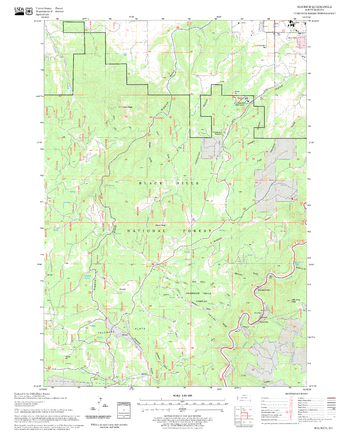
Maurice Quadrangle, South Dakota
United States Forest Service
United States Department of Agriculture Forestry Service topographical map of Maurice, Black Hills National Forest, South Dakota.
Page Size: 21.75 x 27 in (552 x 686 mm)
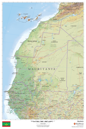
Mauritania
MapSherpa
This beautiful map shows physical and political features for Mauritania and surrounding areas. Relief shading and the use of different colours by height above sea level are both informative and attractive.
Page Size: 24 x 36 in (610 x 914 mm)
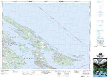
Mayne Island - 92 B/14 - British Columbia
Natural Resources Canada
Canadian topographic map of Mayne Island, British Columbia. NTS sheet 092B14 Edition 4.
Page Size: 36 x 26.25 in (912 x 662 mm)
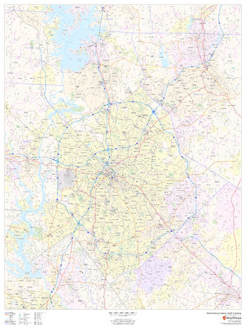
Mecklenburg County, North Carolina
MapSherpa
This map of Mecklenburg County, North Carolina shows regional level information. Base map features include highways and major roads with labelling; neighborhood names; railways; high level land use such as parks and recreation areas, industrial areas and hospital campuses; and a selection of points of interest including transportation hubs like airports and train stations, tourist information, police stations and shopping centres. ZIP code boundaries are shown as a secondary map feature.
Page Size: 36 x 48 in (914 x 1219 mm)
No search results