


MapSherpa Catalog
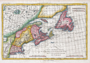
Map of New England and the Canadian Maritime Provinces (1780)
Artokoloro
1780 map of the Canadian maritime provinces, Newfoundland, and New England by Royal Cartographer to France Rigobert Bonne (1727 - 1794), one of the most important cartographers of the late 18th century. Full title: L'Ile de Terre-Neuve, l'Acadie our la Nouvelle Ecodde, l'Ile St. Jean et la Partie Orientale du Canada
Page Size: 13.75 x 9.75 in (347 x 246 mm)
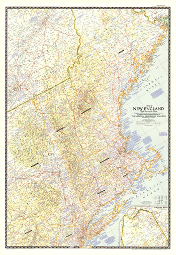
Map of New England with Descriptive Notes - Published 1955
National Geographic
This New England map contains an abundance of historical notes overlaying the fine cartography for which National Geographic. Explore the rich history and vibrant modern sites of Maine, Vermont, New Hampshire, Massachusetts, Connecticut, Rhode Island, and neighboring states. Published in June 1955.
Page Size: 29.75 x 43 in (751 x 1089 mm)
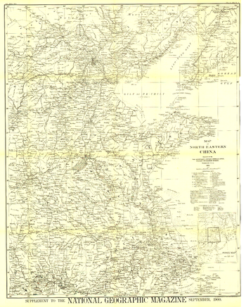
Map of North Eastern China - Published 1900
National Geographic
The first map of China printed by National Geographic, this historic black and white map is a true collector's item. Published in September 1900, it features translations of common terms and items of note such as the Great Wall and imperial tomb sites.
Page Size: 30 x 37.25 in (757 x 943 mm)

Map of Summer Camps Southwest of Huntsville, Ontario
Inspirit Cartographics
A map of the south western region of Huntsville Ontario showing summer camps and other places of interest.
Page Size: 36 x 24 in (914 x 610 mm)
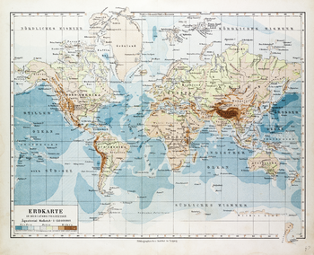
Map of the World in German (1899)
Artokoloro
1899 map of the World in German showing sea depth and land elevations by German publisher Bibliographisches Institut in Leipzig. Full title: Erdkarte in Mercators Projekion.
Page Size: 25 x 20.5 in (635 x 515 mm)
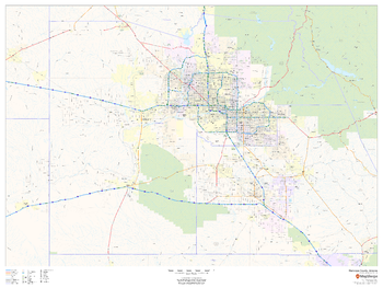
Maricopa County, Arizona
MapSherpa
This map of Maricopa County, Arizona shows regional level information. Base map features include highways and major roads with labelling; high level land use such as parks and recreation areas; and a selection of points of interest including transportation hubs like airports and train stations, tourist information and police stations.
Page Size: 48 x 36 in (1219 x 914 mm)
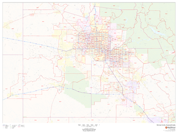
Maricopa County, Arizona ZIP Codes
MapSherpa
This map of Maricopa County, Arizona shows ZIP code areas overlaid on a road map. Ideal for planning of deliveries, home services, sales territories, real estate and much more. Base map features include all roads with major roads and highways labelled; neighborhood names; and high level land use such as parks and recreation areas, industrial areas and hospital campuses.
Page Size: 48 x 36 in (1219 x 914 mm)
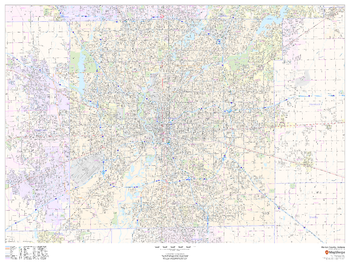
Marion County, Indiana
MapSherpa
This map of Marion County, Indiana shows street level information including street labeling. Base map features include all roads with major roads and highways labelled; neighborhood names; railways; high level land use such as parks and recreation areas, industrial areas and hospital campuses; and a variety of points of interest including libraries, stadiums, museums, border crossings and more. ZIP code boundaries are shown as a secondary map feature.
Page Size: 48 x 36 in (1219 x 914 mm)
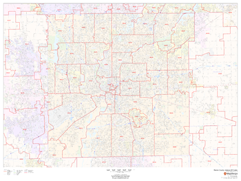
Marion County, Indiana ZIP Codes
MapSherpa
This map of Marion County, Indiana shows ZIP code areas overlaid on a road map. Ideal for planning of deliveries, home ervices, sales territories, real estate and much more. Base map features include all roads with major roads and highways labelled; neighborhood names; railways; and high level land use such as parks and recreation areas, industrial areas and hospital campuses.
Page Size: 48 x 36 in (1219 x 914 mm)
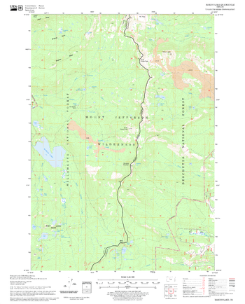
Marion Lake Quadrangle, Oregon
United States Forest Service
United States Department of Agriculture Forestry Service topographical map of Marion Lake, Deschutes National Forest, Oregon.
Page Size: 21.75 x 27 in (552 x 686 mm)
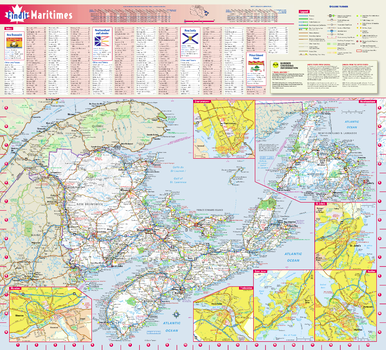
Maritimes Provinces Wall Map
Globe Turner
This colorful, easy-to-read map of the Canadian Maritimes identifies all major thoroughfares, secondary roads, freeway interchanges, rest areas, distance markers, landmarks, recreational areas, and more. Shaded relief on the Maritimes map provides a three-dimensional sense of the topography of New Brunswick, Nova Scotia, Prince Edward Island, and Newfoundland and Labrador. Detailed city inset maps of Fredericton, Moncton, Saint John, Halifax, Charlottetown and St. John's are based on the latest street information from our cartographic experts. The map also includes the latest border crossing information. A city index makes it simple to locate even the smallest town.
Page Size: 19.5 x 21.75 in (495 x 546 mm)
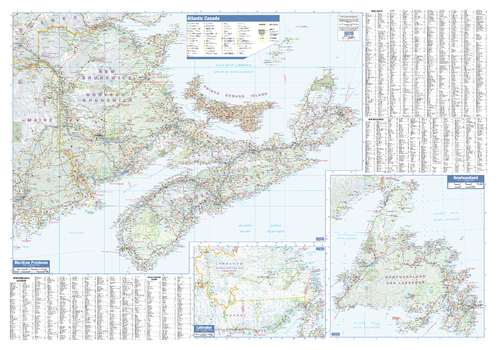
Maritimes Wall Map
Lucidmap
This wall map has been designed to show important features in Canada's atlantic provinces. This includes all highways, cities and towns, major parks, political boundaries, and points of interest.
The map has been designed with a traditional Canadian style embraced by map buyers over many years. It also includes a helpful place name index.
Page Size: 40 x 28 in (1016 x 711 mm)
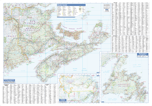
Maritimes Wall Map - Large
Lucidmap
This large wall map has been designed to show important features in Canada's atlantic provinces. This includes all highways, cities and towns, major parks, political boundaries, and points of interest.
The map has been designed with a traditional Canadian style embraced by map buyers over many years. It also includes a helpful place name index.
Page Size: 54 x 37.5 in (1372 x 953 mm)
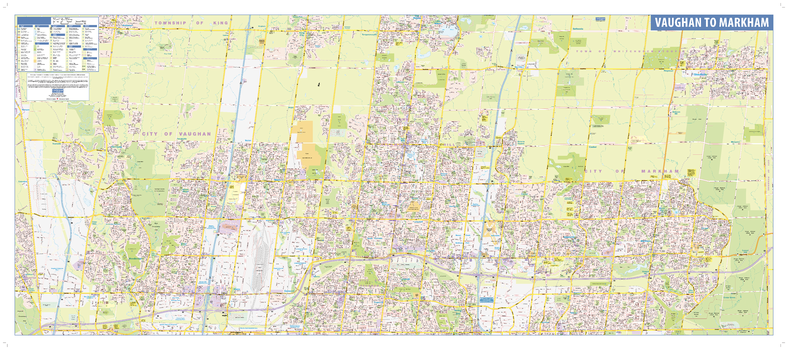
Markham-Vaughan Wall Map - Street Detail
Lucidmap
This wall map shows highly detailed local information for the Region of York. Full street labeling along with transit information, parks, schools, churches and landmarks throughout the city are displayed.
The map has been designed in a very clear and legible manner with a traditional Canadian street map style embraced by map buyers over many years.
Page Size: 53 x 23 in (1346 x 584 mm)
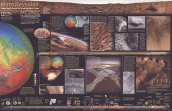
Mars Revealed, A New Look at Forces That Shape the Desert Planet - Published 2001
National Geographic
New close-in looks at Mars offer startling clues that wind and possibly water and lava are still changing the face of the Red Planet. Compelling photos, informative graphics, and colorful relief maps reveal Mars in a way never seen before. Published in February 2001, this map represented half of a two-map set with "Destination Mars." Together, these fascinating maps reveal a wealth of information about this mysterious, Earth-like planet.
Page Size: 31.25 x 20.25 in (793 x 511 mm)
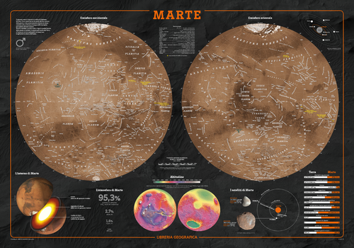
Mars Wall Map - Italian
Geo4Map
The fascinating world of astronomy illustrated in detailed charts of Mars in Italian.
Page Size: 38.75 x 27 in (980 x 680 mm)
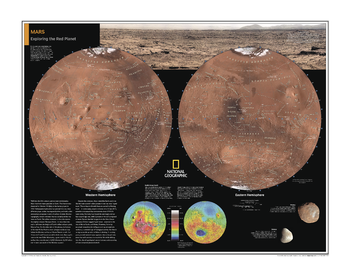
Mars: Exploring the Red Planet - Atlas of the World, 10th Edition
National Geographic
Page Size: 28 x 22 in (711 x 559 mm)
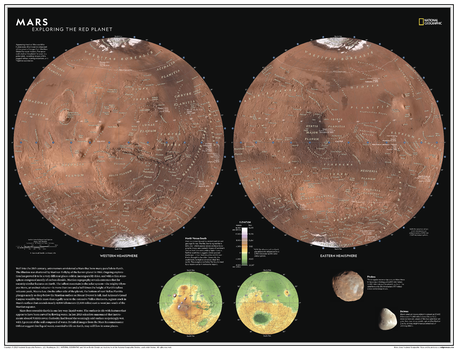
Mars: Exploring the Red Planet - Atlas of the World, 11th Edition
National Geographic
Well into the 20th century, astronomers envisioned a Mars that bore many parallels to Earth. The illusion was shattered by Mariner 4's flyby of the barren planet in 1965. Subsequent exploration has proved it to be a very different place: colder, incomparably drier, and with a thin atmosphere composed mostly of carbon dioxide. Martian topography reveals extremes that far outstrip similar features on Earth; the tallest mountain in the solar system - the mighty volcano Olympus Mons - is more than two and a half times the height of Earth's tallest volcanic peak, Mauna Loa.
Explore Earth's most researched neighbor with this compelling and attractive map of Mars! This dual hemisphere map, though depicting a world alien to our own, elicits a sense of familiarity with the way it is presented. Drawn in Lambert Azimuthal Equal-Area projection, this map offers a uniquely detailed look into the planet's physical features. A drawn fresco of Mars' rugged, inhabitable landscape provides context, as does a separate elevation map.
This map is an attractive product for the budding astronomer. It makes an essential companion to Milky Way: Earth's Galactic Home, and its size makes it perfect for a gallery wall.
This map is found in National Geographic's 11th Edition World Atlas and is now available as a stand alone product.
Page Size: 31.5 x 24 in (798 x 610 mm)
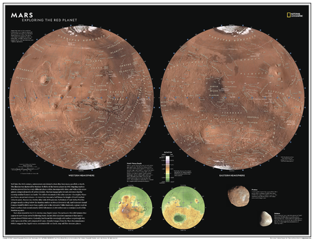
Mars: Exploring the Red Planet - Atlas of the World, 11th Edition - Compact
National Geographic
Well into the 20th century, astronomers envisioned a Mars that bore many parallels to Earth. The illusion was shattered by Mariner 4's flyby of the barren planet in 1965. Subsequent exploration has proved it to be a very different place: colder, incomparably drier, and with a thin atmosphere composed mostly of carbon dioxide. Martian topography reveals extremes that far outstrip similar features on Earth; the tallest mountain in the solar system - the mighty volcano Olympus Mons - is more than two and a half times the height of Earth's tallest volcanic peak, Mauna Loa.
Explore Earth's most researched neighbor with this compelling and attractive map of Mars! This dual hemisphere map, though depicting a world alien to our own, elicits a sense of familiarity with the way it is presented. Drawn in Lambert Azimuthal Equal-Area projection, this map offers a uniquely detailed look into the planet's physical features. A drawn fresco of Mars' rugged, inhabitable landscape provides context, as does a separate elevation map.
This map is an attractive product for the budding astronomer. It makes an essential companion to Milky Way: Earth's Galactic Home, and its size makes it perfect for a gallery wall.
This map is found in National Geographic's 11th Edition World Atlas and is now available as a stand alone product.
Page Size: 21.5 x 16.25 in (540 x 413 mm)
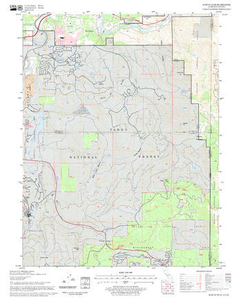
Martis Peak Quadrangle, California
United States Forest Service
United States Department of Agriculture Forestry Service topographical map of Martis Peak, Tahoe National Forest, California.
Page Size: 21.75 x 27 in (552 x 686 mm)
No search results