


MapSherpa Catalog
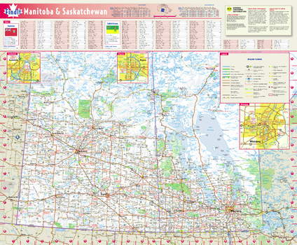
Manitoba & Saskatchewan Wall Map
Globe Turner
This colorful, easy-to-read province map of Manitoba & Saskatchewan identifies all major thoroughfares, secondary roads, freeway interchanges, rest areas, distance markers, landmarks, recreational areas, and more. Shaded relief on the province map provides a three-dimensional sense of Manitoba & Saskatchewan's topography. Detailed city inset maps of Regina, Saskatoon and Winnipeg are based on the latest street information from our cartographic experts. The map also includes the latest border crossing information. A city index makes it simple to locate even the smallest town.
Page Size: 17.75 x 21.75 in (451 x 546 mm)
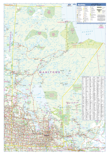
Manitoba Wall Map
Lucidmap
This wall map has been designed to show important features in Manitoba including all highways, cities and towns, major parks, political boundaries, and points of interest.
The map has been designed with a traditional Canadian style embraced by map buyers over many years.
Page Size: 28 x 40 in (711 x 1016 mm)
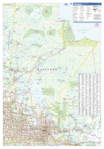
Manitoba Wall Map - Large
Lucidmap
This large wall map has been designed to show important features in Manitoba including all highways, cities and towns, major parks, political boundaries, and points of interest.
The map has been designed with a traditional Canadian style embraced by map buyers over many years.
Page Size: 37.5 x 54 in (953 x 1372 mm)
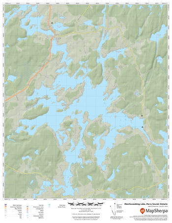
Manitouwabing Lake, Parry Sound, Ontario
MapSherpa
A cartographically beautiful map of Manitouwabing Lake, Parry Sound, Ontario ideal for showing off cottages, resorts, lakes and other favourite places.
Page Size: 17 x 22 in (432 x 559 mm)

Manitowish Chain
Mapping Specialists
An Attractive map of the lake showing a visual 3D representation of the lake bottom. Includes boat launches, rock area and vegetation. Land area is high resolution aerial imagery.
Page Size: 27.75 x 37.25 in (705 x 943 mm)
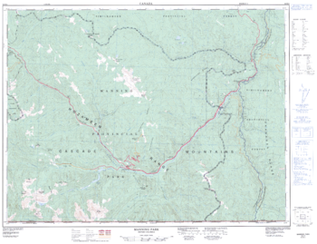
Manning Park - 92 H/2 - British Columbia
Natural Resources Canada
Canadian topographic map of Manning Park, British Columbia. NTS sheet 092H02 Edition 2.
Page Size: 33 x 25.5 in (835 x 641 mm)
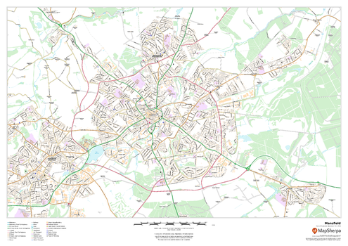
Mansfield
MapSherpa
This map of Mansfield shows detailed street level information including extensive street labelling. Ideal for planning of deliveries, home services, sales territories, real estate and much more.
Page Size: 33.25 x 23.5 in (841 x 594 mm)
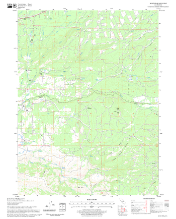
Manton Quadrangle, California
United States Forest Service
United States Department of Agriculture Forestry Service topographical map of Manton, Lassen National Forest, California.
Page Size: 21.75 x 27 in (552 x 686 mm)
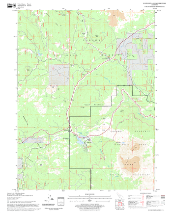
Manzanita Lake Quadrangle, California
United States Forest Service
United States Department of Agriculture Forestry Service topographical map of Manzanita Lake, Lassen National Forest, California.
Page Size: 21.75 x 27 in (552 x 686 mm)
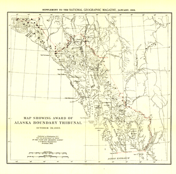
Map Showing Award of Alaska Boundary Tribunal of 1896 - Published 1904
National Geographic
The "Map Showing Award of Alaska Boundary Tribunal, October 2, 1896" was drawn on October 20, 1903 and appeared in National Geographic Magazine in January 1904 with an article on the Alaska Boundary Tribunal. The boundary separating the Alaskan Panhandle from British Columbia had been in dispute for many years. A decision was finally reached in 1903 by a tribunal of U.S., Canadian, and British officials.
Page Size: 13.5 x 13.25 in (340 x 335 mm)
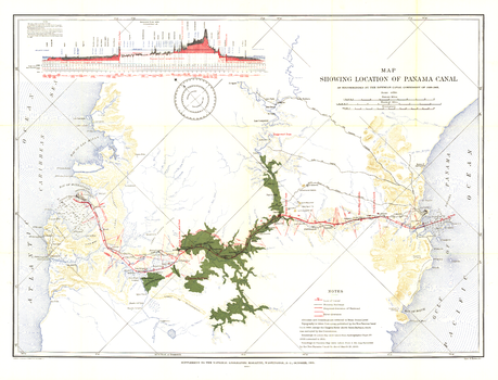
Map Showing Location of Panama Canal 1899-1902 - Published 1905
National Geographic
The "Map Showing Location of Panama Canal, as Recommended by the Isthmian Canal Commission of 1899-1902" is a unique historical piece published in October 1905 with three articles on canals. One of the largest engineering projects ever undertaken, the famed canal linking the Atlantic and Pacific oceans was completed in 1914. This map makes a fine companion for the "Birds-eye View of the Panama Canal" map printed in 1912.
Page Size: 34.5 x 26.5 in (875 x 667 mm)
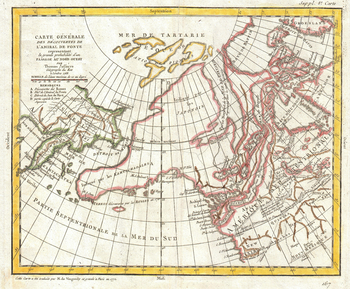
Map of Alaska, the Pacific Northwest and the Northwest Passage (1772)
Artokoloro
1772 map of north-eastern Asia with speculations on north-western North America by French cartographer Robert de Vaugondy and English cartographer Thomas Jefferys (Geographer to King George III). Full title: Carte générale des découvertes de l'Admiral de Fonte representant la grand probabilité d'un passage au nord ouest par Thomas Jefferys Géographe du Roi à Londres 1768.
Page Size: 18 x 15 in (454 x 375 mm)
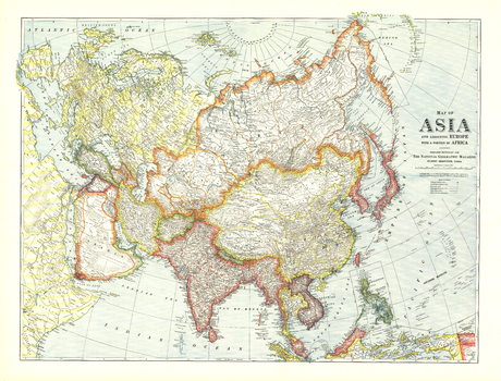
Map of Asia with Europe and a portion of Africa - Published 1921
National Geographic
Explore Asia in the early 20th century with this National Geographic classic. This map appeared in the May 1921 issue of National Geographic Magazine with three articles including "Western Siberia and the Altai Mountains: With Some Speculations on the Future of Siberia." Illustrating a land of many contrasts, this work is a fine addition to any map collection.
Page Size: 40 x 30.5 in (1012 x 770 mm)
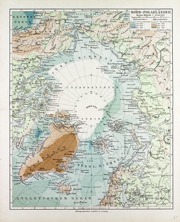
Map of Countries Around the North Pole in German (1899)
Artokoloro
1899 map of the counries around the North Pole in German showing sea depth and land elevations by German publisher Bibliographisches Institut in Leipzig. Full title: Nor Polarländer.
Page Size: 20.5 x 25.25 in (518 x 640 mm)
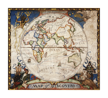
Map of Discovery, Eastern Hemisphere
National Geographic
The colorful and vibrant Map of Discovery of the Eastern Hemisphere wall map makes a unique conversation piece for any library, study, or office. Europe, Africa, Asia, and Australia are depicted in this mural by famed American painter N.C. Wyeth. Completed in 1927, it is one of five murals entitled "The Romance of Discovery" that Wyeth painted for Hubbard Memorial Hall, the National Geographic Society's first formal library. The painting includes the historic routes of notable explorers.
Page Size: 23.5 x 21.5 in (597 x 546 mm)
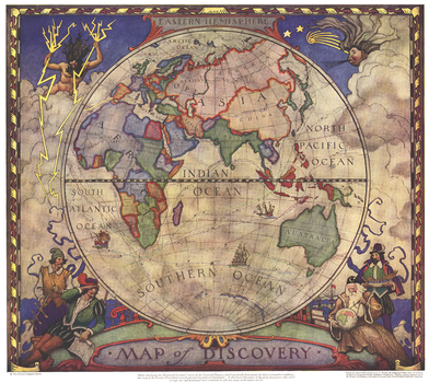
Map of Discovery, Eastern Hemisphere - Published 1928
National Geographic
This historic map of the Eastern Hemisphere simulates the illuminated mariners' charts of the 17th Century. The original murals, painted by N.C. Wyeth, are in Hubbard Hall at the National Geographic Society headquarters.
Page Size: 18.75 x 16.75 in (472 x 422 mm)
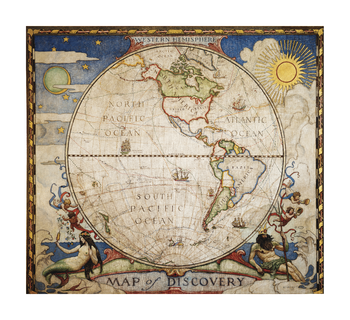
Map of Discovery, Western Hemisphere
National Geographic
In 1927, famed American painter N.C. Wyeth completed five murals entitled "The Romance of Discovery" for Hubbard Memorial Hall, the National Geographic Society's first formal library. This eye-catching Map of Discovery of the Western Hemisphere wall map is one of those five stunning murals. The historic routes of explorers sailing the seas to North and South America are depicted. Blending both the modern vibrancy of bright colors with an antique base, it is a truly unique piece of cartographic art.
Page Size: 23.5 x 21.5 in (597 x 546 mm)
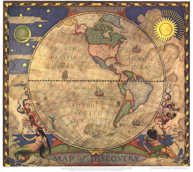
Map of Discovery, Western Hemisphere - Published 1928
National Geographic
In 1927, famed American painter N. C. Wyeth completed a series of five murals for Hubbard Memorial Hall, the National Geographic Society's first formal library. The Map of Discovery: Western Hemisphere, published in January 1929, is one of those outstanding murals. It features Poseidon and a mermaid keeping watch over the oceans as well as the routes of explorers and dates of expeditions.
Page Size: 18.75 x 16.75 in (474 x 421 mm)
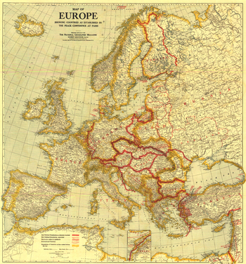
Map of Europe Showing the Countries Established by the Peace Conference of Paris - Published 1921
National Geographic
A must-have for history buffs, this map depicts Europe as established by the Peace Conference of Paris. New political borders, borders as they existed before World War I, international territories, and territories subject to plebiscite are detailed on this map which accompanied three articles on Europe in the February 1921 issue of National Geographic including "Czechoslovakia, Key-Land to Central Europe."
Page Size: 31 x 33.5 in (787 x 845 mm)
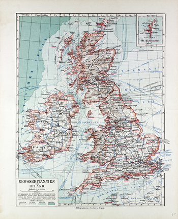
Map of Great Britain and Ireland in German (1899)
Artokoloro
1899 map of Great Britain and Ireland in German showing sea depth and indications of relief on land by German publisher Bibliographisches Institut in Leipzig: Full title: Grossbritannien und Ireland.
Page Size: 20.5 x 25 in (518 x 635 mm)
No search results