


MapSherpa Catalog
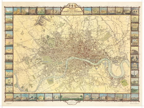
London Tallis 1851
Oxford Cartographers
Map of London in colour showing the extent of the city in 1851
Page Size: 30 x 22.25 in (760 x 565 mm)
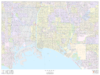
Long Beach, California - Landscape
MapSherpa
This landscape-oriented map of Long Beach, California shows detailed street level information including extensive street labeling. Ideal for planning of deliveries, home services, sales territories, real estate and much more. Base map features include all roads with major roads and highways labelled; neighborhood names; railways; high level land use such as parks and recreation areas, industrial areas and hospital campuses; and a variety of points of interest including schools, libraries, stadiums, museums, border crossings and more.
Page Size: 48 x 36 in (1219 x 914 mm)
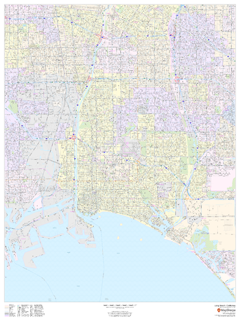
Long Beach, California - Portrait
MapSherpa
This portrait-oriented map of Long Beach, California shows detailed street level information including extensive street labeling. Ideal for planning of deliveries, home services, sales territories, real estate and much more. Base map features include all roads with major roads and highways labelled; neighborhood names; railways; high level land use such as parks and recreation areas, industrial areas and hospital campuses; and a variety of points of interest including schools, libraries, stadiums, museums, border crossings and more.
Page Size: 36 x 48 in (914 x 1219 mm)
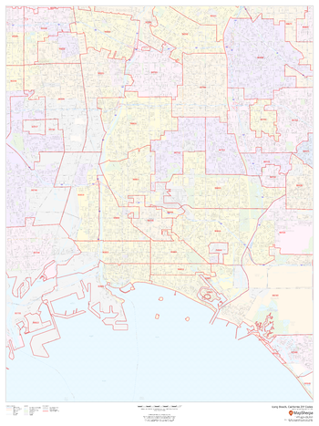
Long Beach, California ZIP Codes
MapSherpa
This map of Long Beach, California shows ZIP code areas overlaid on a road map. Ideal for planning of deliveries, home services, sales territories, real estate and much more. Base map features include all roads with major roads and highways labelled; neighborhood names; railways; and high level land use such as parks and recreation areas, industrial areas and hospital campuses.
Page Size: 36 x 48 in (914 x 1219 mm)
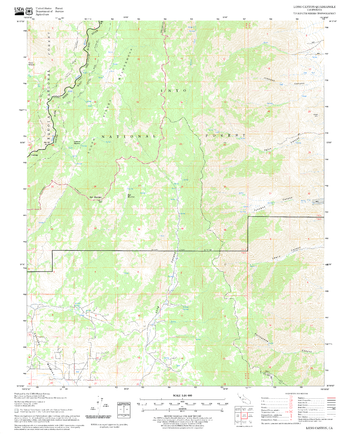
Long Canyon Quadrangle, California
United States Forest Service
United States Department of Agriculture Forestry Service topographical map of Long Canyon, Sequoia National Forest, California.
Page Size: 21.75 x 27 in (552 x 686 mm)
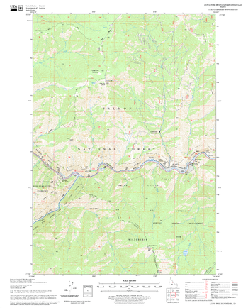
Long Tom Mountain Quadrangle, Idaho
United States Forest Service
United States Department of Agriculture Forestry Service topographical map of Long Tom Mountain, Salmon-Chalis National Forest, Idaho.
Page Size: 21.75 x 27 in (552 x 686 mm)
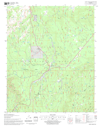
Long Valley Quadrangle, Arizona
United States Forest Service
United States Department of Agriculture Forestry Service topographical map of Long Valley, Coconino National Forest, Arizona.
Page Size: 21.75 x 27 in (552 x 686 mm)
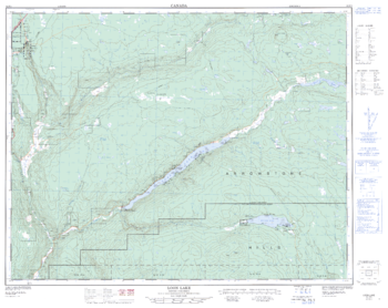
Loon Lake - 92 P/3 - British Columbia
Natural Resources Canada
Canadian topographic map of Loon Lake, British Columbia. NTS sheet 092P03 Edition 2.
Page Size: 32 x 25.5 in (812 x 645 mm)
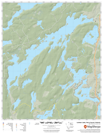
Lorimer Lake, Parry Sound, Ontario
MapSherpa
A cartographically beautiful map of Lorimer Lake, Parry Sound, Ontario ideal for showing off cottages, resorts, lakes and other favourite places.
Page Size: 17 x 22 in (432 x 559 mm)
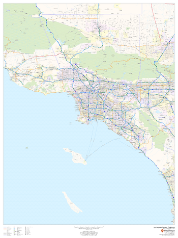
Los Angeles County, California
MapSherpa
This map of Los Angeles County, California shows regional level information. Base map features include highways and major roads with labelling; high level land use such as parks and recreation areas; and a selection of points of interest including transportation hubs like airports and train stations, tourist information and police stations.
Page Size: 36 x 48 in (914 x 1219 mm)
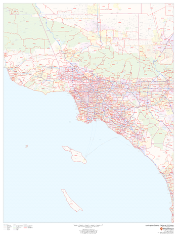
Los Angeles County, California ZIP Codes
MapSherpa
This map of Los Angeles County, California shows ZIP code areas overlaid on a road map. Ideal for planning of deliveries, home services, sales territories, real estate and much more. Base map features include all roads with major roads and highways labelled; neighborhood names; and high level land use such as parks and recreation areas, industrial areas and hospital campuses.
Page Size: 36 x 48 in (914 x 1219 mm)
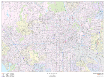
Los Angeles, California Inner Metro - Landscape
MapSherpa
This landscape-oriented map of central Los Angeles, California shows detailed street level information including extensive street labeling. Ideal for planning of deliveries, home services, sales territories, real estate and much more. Base map features include all roads with major roads and highways labelled; neighborhood names; railways; high level land use such as parks and recreation areas, industrial areas and hospital campuses; and a variety of points of interest including schools, libraries, stadiums, museums, border crossings and more.
Page Size: 48 x 36 in (1219 x 914 mm)
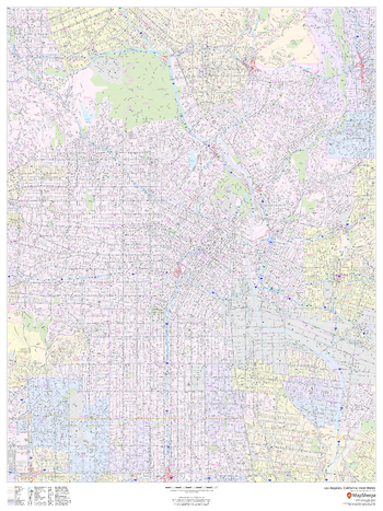
Los Angeles, California Inner Metro - Portrait
MapSherpa
This portrait-oriented map of central Los Angeles, California shows detailed street level information including extensive street labeling. Ideal for planning of deliveries, home services, sales territories, real estate and much more. Base map features include all roads with major roads and highways labelled; neighborhood names; railways; high level land use such as parks and recreation areas, industrial areas and hospital campuses; and a variety of points of interest including schools, libraries, stadiums, museums, border crossings and more.
Page Size: 36 x 48 in (914 x 1219 mm)
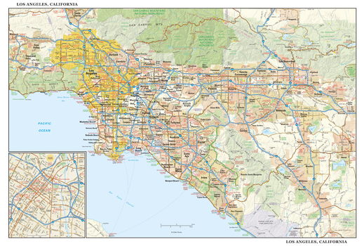
Los Angeles, California Wall Map, large
Globe Turner
This detailed reference map combines two maps in one - a regional map of Los Angeles extending from Simi Valley and Santa Clarita to San Bernardino and San Clemente, plus a street-level inset map of downtown Los Angeles. The regional map depicts the area's cities and towns, highways and roads, parks, lakes, and rivers, and a variety of major points of interest. Included on the regional L.A. map are well-known tourist areas such as Anaheim, Pasadena, Hollywood, Beverly Hills, and Santa Monica. The map is beautifully rendered with terrain relief. The inset map of central Los Angeles shows highways, streets, parks, landmarks, and other points of interest. Chinatown, Little Tokyo, the Arts District, South Park, and the Financial District are among the neighborhoods shown on this map. Also available in a large size of 14.50" high X 21.50" wide.
Page Size: 43 x 29 in (1092 x 737 mm)
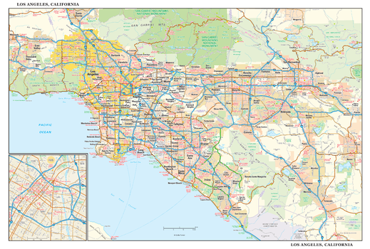
Los Angeles, California Wall Map, small
Globe Turner
This detailed reference map combines two maps in one - a regional map of Los Angeles extending from Simi Valley and Santa Clarita to San Bernardino and San Clemente, plus a street-level inset map of downtown Los Angeles. The regional map depicts the area's cities and towns, highways and roads, parks, lakes, and rivers, and a variety of major points of interest. Included on the regional L.A. map are well-known tourist areas such as Anaheim, Pasadena, Hollywood, Beverly Hills, and Santa Monica. The map is beautifully rendered with terrain relief. The inset map of central Los Angeles shows highways, streets, parks, landmarks, and other points of interest. Chinatown, Little Tokyo, the Arts District, South Park, and the Financial District are among the neighborhoods shown on this map. Also available in a large size of 29.00" high X 43.00" wide.
Page Size: 21.5 x 14.5 in (546 x 368 mm)
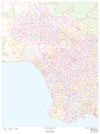
Los Angeles, California ZIP Codes
MapSherpa
This map of Los Angeles shows ZIP code areas overlaid on a road map. Ideal for planning of deliveries, home services, sales territories, real estate and much more. Base map features include all roads with major roads and highways labelled; neighborhood names; railways; and high level land use such as parks and recreation areas, industrial areas and hospital campuses.
Page Size: 36 x 48 in (914 x 1219 mm)

Lost Land & Teal lake
Mapping Specialists
An Attractive map of the lake showing a visual 3D representation of the lake bottom. Includes boat launches, rock area and vegetation. Land area is high resolution aerial imagery.
Page Size: 37.25 x 27.75 in (943 x 705 mm)
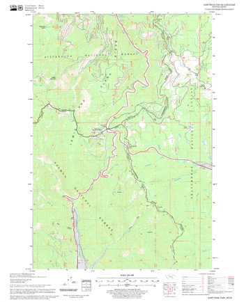
Lost Trail Pass Quadrangle, Idaho
United States Forest Service
United States Department of Agriculture Forestry Service topographical map of Lost Trail Pass, Salmon-Chalis National Forest, Idaho.
Page Size: 21.75 x 27 in (552 x 686 mm)
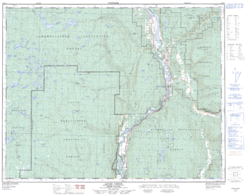
Louis Creek - 92 P/1 - British Columbia
Natural Resources Canada
Canadian topographic map of Louis Creek, British Columbia. NTS sheet 092P01 Edition 3.
Page Size: 32 x 25.25 in (806 x 640 mm)
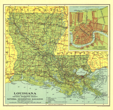
Louisiana - Published 1930
National Geographic
Land of bayous, plantations, Cajuns, and jazz, Louisiana is one of the most unique states in the union. National Geographic highlighted the state in April 1930 with the Louisiana map and the article "Louisiana, Land of Perpetual Romance."
Page Size: 13.25 x 13 in (337 x 327 mm)
No search results