


MapSherpa Catalog
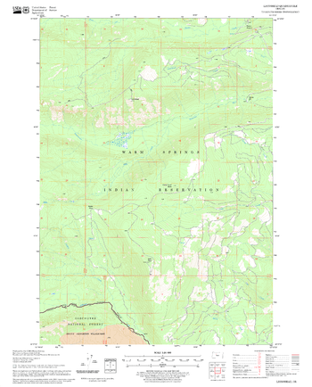
Lionshead Quadrangle, Oregon
United States Forest Service
United States Department of Agriculture Forestry Service topographical map of Lionshead, Deschutes National Forest, Oregon.
Page Size: 21.75 x 27 in (552 x 686 mm)
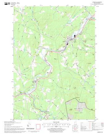
Lisbon Quadrangle, New Hampshire-Vermont
United States Forest Service
United States Forestry Service topographical map of Lisbon, New Hampshire-Vermont
Page Size: 21.75 x 27 in (552 x 686 mm)
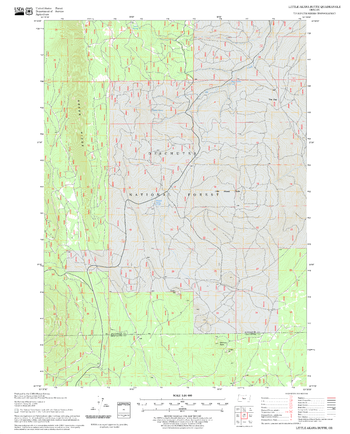
Little Akawa Butte Quadrangle, Oregon
United States Forest Service
United States Department of Agriculture Forestry Service topographical map of Little Akawa Butte, Deschutes National Forest, Oregon.
Page Size: 21.75 x 27 in (552 x 686 mm)
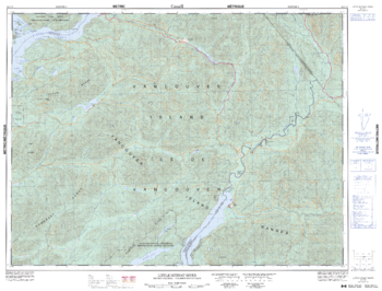
Little Nitinat River - 92 C/15 - British Columbia
Natural Resources Canada
Canadian topographic map of Little Nitinat River, British Columbia. NTS sheet 092C15 Edition 5.
Page Size: 33.5 x 25.5 in (849 x 645 mm)
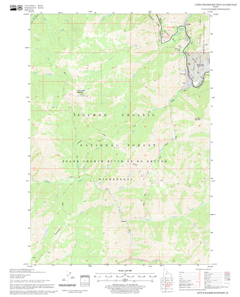
Little Soldier Mountain Quadrangle, Idaho
United States Forest Service
United States Department of Agriculture Forestry Service topographical map of Little Soldier Mountain, Salmon-Chalis National Forest, Idaho.
Page Size: 21.75 x 27 in (552 x 686 mm)

Little St Germain
Mapping Specialists
An Attractive map of the lake showing a visual 3D representation of the lake bottom. Includes boat launches, rock area and vegetation. Land area is high resolution aerial imagery.
Page Size: 37.25 x 27.75 in (943 x 705 mm)
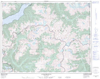
Little Toba River - 92 K/8 - British Columbia
Natural Resources Canada
Canadian topographic map of Little Toba River, British Columbia. NTS sheet 092K08 Edition 1.
Page Size: 32.25 x 25.25 in (813 x 640 mm)
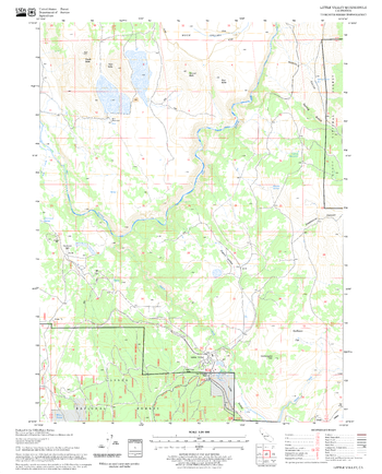
Little Valley Quadrangle, California
United States Forest Service
United States Department of Agriculture Forestry Service topographical map of Little Valley, Lassen National Forest, California.
Page Size: 21.75 x 27 in (552 x 686 mm)
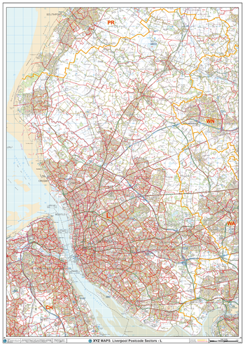
Liverpool - L - Postcode Wall Map
XYZ Maps
The Liverpool Postcode Sector Wall Map shows detailed postcode sector boundaries (L1 1, L1 2) on a comprehensive background and is perfect for determining postcode boundaries for sales areas, planning mailshots and also an excellent reference for logistics. This wall map covers the whole of the L Postcode Area.
Page Size: 33.25 x 47 in (841 x 1189 mm)
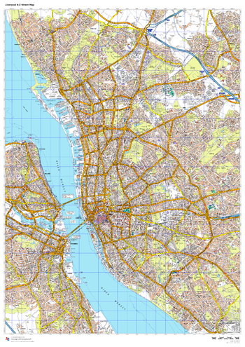
Liverpool A-Z Street Map
A-Z Maps
This up-to-date A-Z street map includes all of the 2,000 streets in and around Liverpool. As well as the city centre other areas covered are Baltic Triangle, Ropewalks, Vauxhall, Fairfield, Weavertree and Walton.
Page Size: 33.25 x 47 in (841 x 1189 mm)
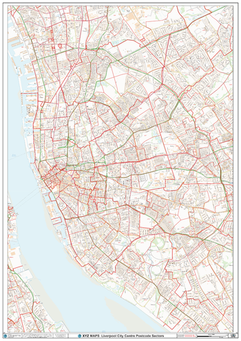
Liverpool City Centre Postcode Sector Wall Map (C2)
XYZ Maps
The Liverpool City Centre Postcode Sector Wall Map shows detailed postcode sector boundaries along with its associated label (L1 1, L1 2) on a comprehensive background and is perfect for determining postcode boundaries, for sales, logistics, planning mailshots or as a regional reference gGuide.
Page Size: 33.25 x 47 in (841 x 1189 mm)
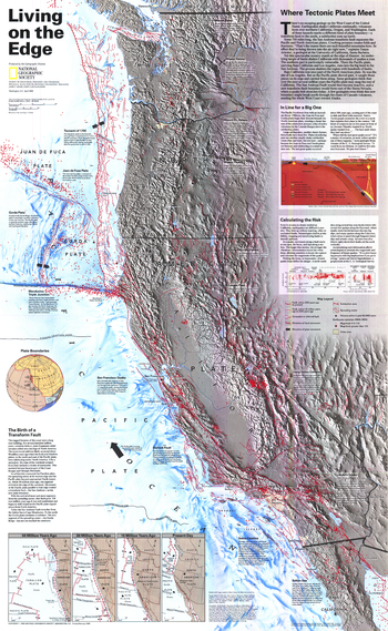
Living on the Edge - Published 1995
National Geographic
There is no escaping geology on the West Coast of the United States. Earthquakes continually shake California, while volcanoes loom over northern California, Oregon, and Washington. Each of these hazards marks a different kind of tectonic plate boundary - transform faults to the south, subduction zones up north. This map shows the western United States along with all of its known major fault lines and zones.
Page Size: 22.25 x 36 in (563 x 914 mm)
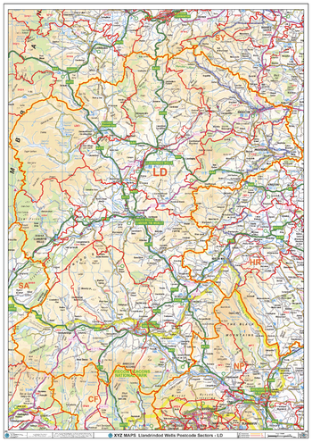
Llandrindod Wells - LD - Postcode Wall Map
XYZ Maps
The Llandrindod Wells Postcode Sector Wall Map shows detailed postcode sector boundaries (LD1 1, LD1 2) on a comprehensive background and is perfect for determining postcode boundaries for sales areas, planning mailshots and also an excellent reference for logistics. This wall map covers the whole of the LD Postcode Area.
Page Size: 33.25 x 47 in (841 x 1189 mm)
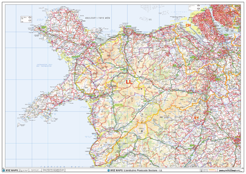
Llandudno - LL - Postcode Wall Map
XYZ Maps
The Llandudno Postcode Sector Wall Map shows detailed postcode sector boundaries (LL1 1, LL1 2) on a comprehensive background and is perfect for determining postcode boundaries for sales areas, planning mailshots and also an excellent reference for logistics. This wall map covers the whole of the LL Postcode Area.
Page Size: 47 x 33.25 in (1189 x 841 mm)
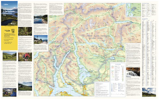
Loch Lomond National Park Map
Collins
With clear mapping and a high level of detail, explore the Loch Lomond National Park easily with maps from Collins. This map identifies key park, tourist, and travel information, presented alongside a selection of photographs, making it an ideal companion for those exploring this beautiful area of Scotland.
Page Size: 35.5 x 22.25 in (900 x 560 mm)
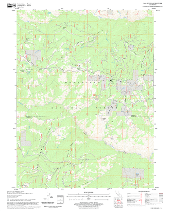
Log Spring Quadrangle, California
United States Forest Service
United States Department of Agriculture Forestry Service topographical map of Log Spring, Mendocino National Forest, California.
Page Size: 21.75 x 27 in (552 x 686 mm)
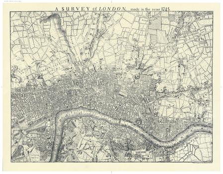
London 1745
Oxford Cartographers
Map of London (black & white) showing the extent of the city in 1745
Page Size: 27.75 x 21.5 in (700 x 540 mm)
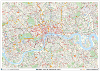
London City Centre Postcode District Wall Map (D12)
XYZ Maps
The London City Centre Postcode District Map clearly shows postcode district boundaries and associated district labels (SL1, SL2) on a comprehensive background and is perfect for determining postcode boundaries for sales territories, logistics, planning mailshots or as a regional reference guide.
Page Size: 47 x 33.25 in (1189 x 841 mm)
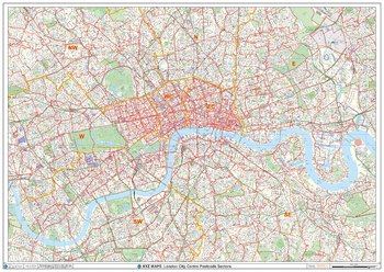
London City Centre Postcode Sectors Wall Map (C1)
XYZ Maps
The London City Centre Postcode Sectors Wall Map shows detailed postcode sector boundaries along with its associated label (EC1 1, EC1 2) on a comprehensive background and is perfect for determining postcode boundaries, for sales, logistics, planning mailshots or as a regional reference guide.
Page Size: 47 x 33.25 in (1189 x 841 mm)
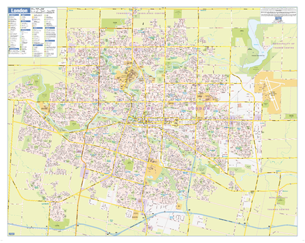
London Ontario Wall Map - Street Detail
Lucidmap
This wall map shows highly detailed local information for the city of London. Full street labeling along with transit information, parks, schools, churches and landmarks throughout the city are displayed.
The map has been designed in a very clear and legible manner with a traditional Canadian street map style embraced by map buyers over many years.
Page Size: 34.5 x 27.5 in (870 x 696 mm)
No search results