


MapSherpa Catalog
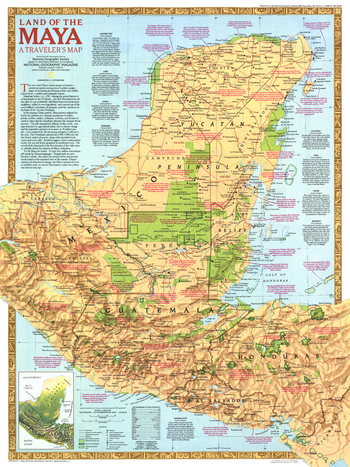
Land of the Maya - Published 1989
National Geographic
This map features national parks and other preserved areas where one can explore the remains of the great Mayan civilization, plus an abundance of historical notes about Mayan cities and their locations. Published in October 1989 as half of a two-map set with "The Ancient Maya World".
Page Size: 20.25 x 27 in (514 x 686 mm)
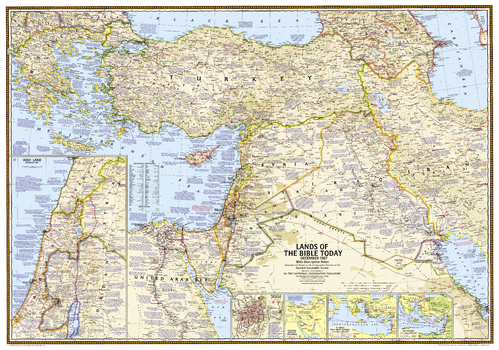
Lands of the Bible 1967 Map - Published 2012
National Geographic
This unique map was created in 1967 for the National Geographic Magazine and has been reprinted in its original format. Filled with reference information, the map includes insets of: The Holy Land, Walled city of Jerusalem, Traditional route of the Exodus, St. Paul's four great journeys, and The Crusades.
Page Size: 38.75 x 27.25 in (983 x 689 mm)
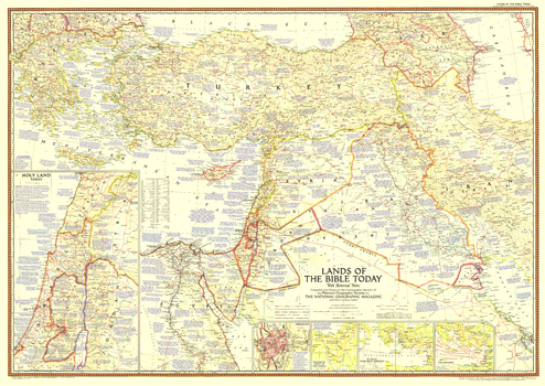
Lands of the Bible Today - Published 1956
National Geographic
This map of the Holy Land features attractive cartography and copious historical. It also reveals the locations of the Seven Wonders of the Ancient World, and contains references to Bible passages alongside relevant place names. Published in December 1956 with the article "Jerusalem to Rome in the Path of St. Paul." A fine companion to the maps of 1938 and 1946.
Page Size: 41 x 29 in (1039 x 735 mm)
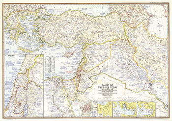
Lands of the Bible Today - Published 1967
National Geographic
This map of the "Lands of the Bible" outlines the territory occupied by Israel in June of 1967 during the Six Days' War between Israel and neighboring Arab countries. Contains a large quantity of ancient historical information as well as details of significant events of the time. Published in December 1967 to accompany three articles, including "Eyewitness to War in the Holy Land."
Page Size: 41 x 29 in (1041 x 735 mm)
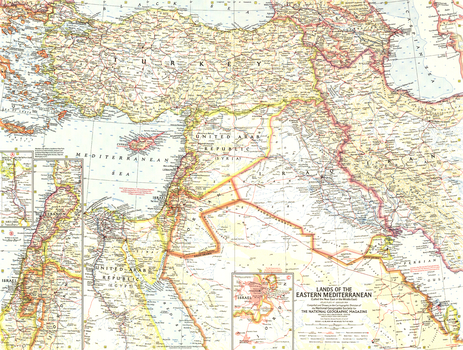
Lands of the Eastern Mediterranean - Published 1959
National Geographic
This map of the Lands of the Eastern Mediterranean features detailed inset maps of Lebanon and Israel, and the Suez Canal. There is also a map of Jerusalem and the surrounding area with religious sites noted. Published in January 1959 with the article "Station Wagon Odyssey: Baghdad to Istanbul."
Page Size: 25 x 19 in (633 x 478 mm)
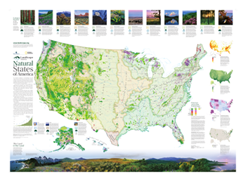
Landscope America: Natural States of America
National Geographic
The National Conservation Wall Map tells the story of the changing face of land conservation in the United States and the continuing threats to the nation's open space. Natural States of America highlights the ever-growing role that land trusts are playing in private land conservation across the U.S. It features descriptions of the major ecological divisions of the U.S., with a stunning photographic "transect" of the nation's diverse ecosystems. Inset maps highlight imperiled species hotspots, vertebrate species richness, dollar investments in open space, and land trust activity across the country.
Page Size: 42 x 30 in (1067 x 762 mm)
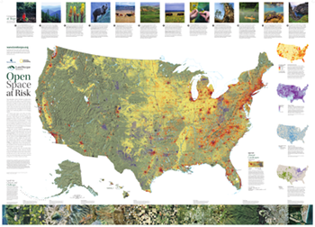
Landscope America: Open Space at Risk
National Geographic
The National Conservation Wall Map tells the story of the changing face of land conservation in the United States and the continuing threats to the nation's open space. Open Space at Risk, highlights pressures facing open space preservation from development pressure to oil and gas development to loss of agricultural lands. Inset maps show projected residential development in 2030, areas most vulnerable to climate change, severely altered river flows, and the spread of invasive species. Stories at the top of the map describe how organizations across the country are working creatively and cooperatively to save places in the face of these growing threats.
Page Size: 42 x 30 in (1067 x 762 mm)
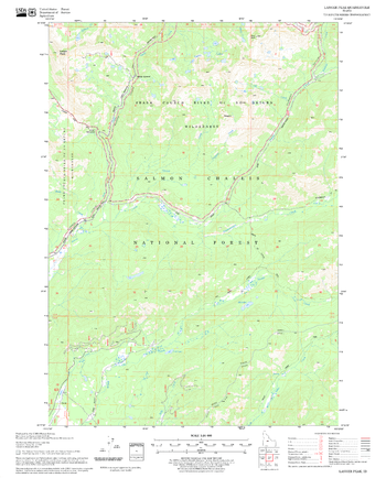
Langer Peak Quadrangle, Idaho
United States Forest Service
United States Department of Agriculture Forestry Service topographical map of Langer Peak, Salmon-Chalis National Forest, Idaho.
Page Size: 21.75 x 27 in (552 x 686 mm)
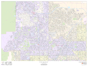
Las Vegas, Nevada Inner Metro - Landscape
MapSherpa
This landscape-oriented map of central Las Vegas, Nevada shows detailed street level information including extensive street labeling. Ideal for planning of deliveries, home services, sales territories, real estate and much more. Base map features include all roads with major roads and highways labelled; neighborhood names; railways; high level land use such as parks and recreation areas, industrial areas and hospital campuses; and a variety of points of interest including schools, libraries, stadiums, museums, border crossings and more.
Page Size: 48 x 36 in (1219 x 914 mm)
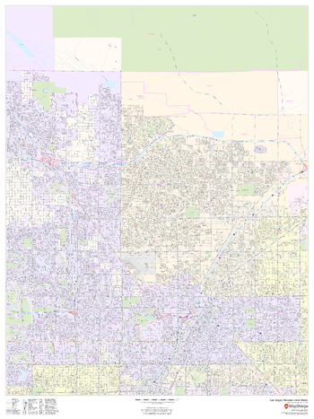
Las Vegas, Nevada Inner Metro - Portrait
MapSherpa
This portrait-oriented map of central Las Vegas, Nevada shows detailed street level information including extensive street labeling. Ideal for planning of deliveries, home services, sales territories, real estate and much more. Base map features include all roads with major roads and highways labelled; neighborhood names; railways; high level land use such as parks and recreation areas, industrial areas and hospital campuses; and a variety of points of interest including schools, libraries, stadiums, museums, border crossings and more.
Page Size: 36 x 48 in (914 x 1219 mm)
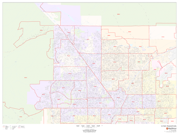
Las Vegas, Nevada ZIP Codes
MapSherpa
This map of Las Vegas, Nevada shows ZIP code areas overlaid on a road map. Ideal for planning of deliveries, home services, sales territories, real estate and much more. Base map features include all roads with major roads and highways labelled; neighborhood names; railways; and high level land use such as parks and recreation areas, industrial areas and hospital campuses.
Page Size: 48 x 36 in (1219 x 914 mm)
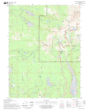
Lassen Peak Quadrangle, California
United States Forest Service
United States Department of Agriculture Forestry Service topographical map of Lassen Peak, Lassen National Forest, California.
Page Size: 21.75 x 27 in (552 x 686 mm)
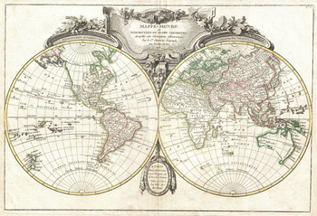
Lattre and Janvier Map of the World on a Hemisphere Projection (1775)
Artokoloro
1755 hemisphere map of the World by French cartographer Jean Janvier. Full title: Mappe-Monde ou Description du Globe Terrestre, Assujettie aux Observations Astronomiques.
Page Size: 18 x 12.25 in (454 x 310 mm)
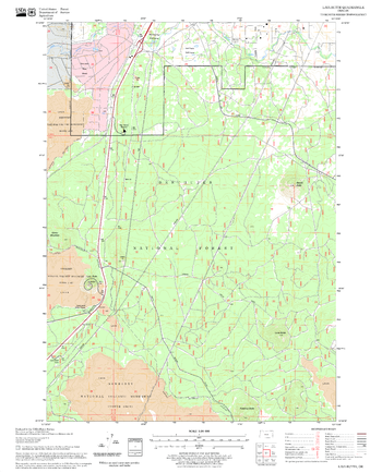
Lava Butte Quadrangle, Oregon
United States Forest Service
United States Department of Agriculture Forestry Service topographical map of Lava Butte, Deschutes National Forest, Oregon.
Page Size: 21.75 x 27 in (552 x 686 mm)
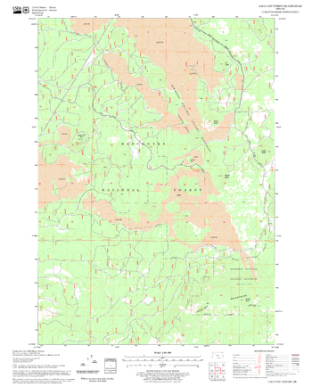
Lava Cast Forest Quadrangle, Oregon
United States Forest Service
United States Department of Agriculture Forestry Service topographical map of Lava Cast Forest, Deschutes National Forest, Oregon.
Page Size: 21.75 x 27 in (552 x 686 mm)
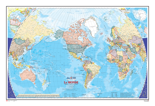
Le monde - Carte Murale - L'Atlas du Canada
Natural Resources Canada
La série de cartes de référence de 1961 à 2010 de l'Atlas du Canada contient la plus récente version d'une carte mise à jour régulièrement et provenant de la série de cartes de base de l'Atlas national du Canada. Chaque version présente le monde à une échelle équatoriale de 1/35 000 000. Cette carte de référence générale indique le nom et le statut de tous les pays souverains et dépendants, ainsi que les grandes villes. La version de 2005 comporte deux nouveaux ajouts : le relief des terres émergées est représenté par ombres portées, et toutes les étendues marines sont illustrées par des isobathes et des teintes bathymétriques.
Page Size: 48.75 x 32.5 in (1232 x 825 mm)
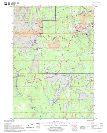
Lead Quadrangle, South Dakota
United States Forest Service
United States Department of Agriculture Forestry Service topographical map of Lead, Black Hills National Forest, South Dakota.
Page Size: 21.75 x 27 in (552 x 686 mm)
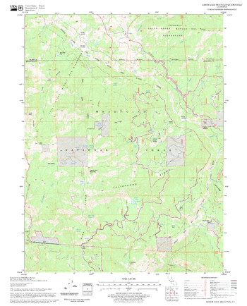
Leech Lake Mountain Quadrangle, California
United States Forest Service
United States Department of Agriculture Forestry Service topographical map of Leech Lake Mountain, Mendocino National Forest, California.
Page Size: 21.75 x 27 in (552 x 686 mm)
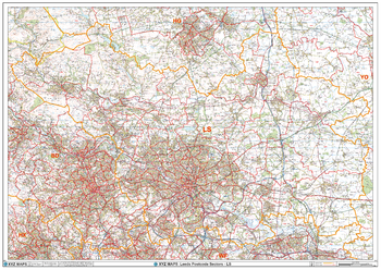
Leeds - LS - Postcode Wall Map
XYZ Maps
The Leeds Postcode Sector Wall Map shows detailed postcode sector boundaries (LS1 1, LS1 2) on a comprehensive background and is perfect for determining postcode boundaries for sales areas, planning mailshots and also an excellent reference for logistics. This wall map covers the whole of the LS Postcode Area.
Page Size: 47 x 33.25 in (1189 x 841 mm)
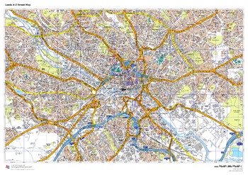
Leeds A-Z Street Map
A-Z Maps
This up-to-date A-Z street map includes all of the 2,100 streets in and around Blackpool. As well as the Promenade this handy map covers Great Marton Moss, Common Edge, Pleasure Beach, Hawes Side, Staining, Laytoun, North Shore and Warbreck.
Page Size: 33.25 x 23.5 in (841 x 594 mm)
No search results