


MapSherpa Catalog
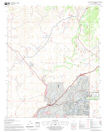
Lake Montezuma Quadrangle, Arizona
United States Forest Service
United States Department of Agriculture Forestry Service topographical map of Lake Montezuma, Coconino National Forest, Arizona.
Page Size: 21.75 x 27 in (552 x 686 mm)
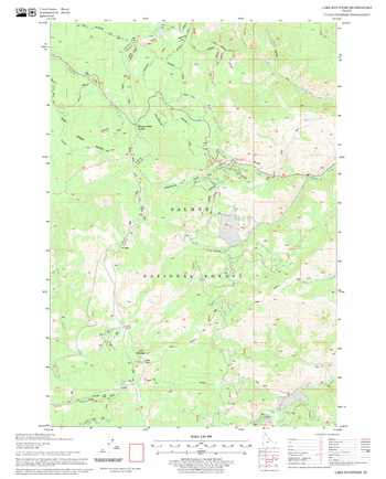
Lake Mountain Quadrangle, Idaho
United States Forest Service
United States Department of Agriculture Forestry Service topographical map of Lake Mountain, Salmon-Chalis National Forest, Idaho.
Page Size: 21.75 x 27 in (552 x 686 mm)
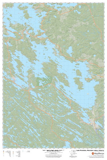
Lake Muskoka, Muskoka Lakes, Ontario
MapSherpa
A cartographically beautiful map of Lake Muskoka, Muskoka Lakes, Ontario ideal for showing off cottages, resorts, lakes and other favourite places.
Page Size: 24 x 36 in (610 x 914 mm)

Lake Ohara
GoTrekkers
Lake Ohara
Page Size: 31.25 x 35.75 in (792 x 904 mm)
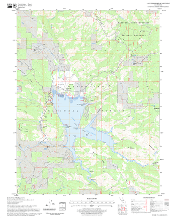
Lake Pillsbury Quadrangle, California
United States Forest Service
United States Department of Agriculture Forestry Service topographical map of Lake Pillsbury, Mendocino National Forest, California.
Page Size: 21.75 x 27 in (552 x 686 mm)
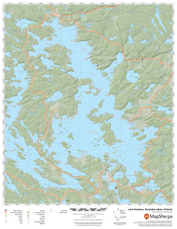
Lake Rosseau, Muskoka Lakes, Ontario
MapSherpa
A cartographically beautiful map of Lake Rosseau, Muskoka Lakes, Ontario ideal for showing off cottages, resorts, lakes and other favourite places.
Page Size: 17 x 22 in (432 x 559 mm)
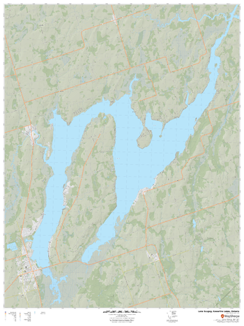
Lake Scugog, Kawartha Lakes, Ontario
MapSherpa
A cartographically beautiful map of Lake Scugog, Kawartha Lakes, Ontario ideal for showing off cottages, resorts, lakes and other favourite places.
Page Size: 36 x 48 in (914 x 1219 mm)

Lake Tahoe
Benchmark Maps
This wall map illustrates Lake Tahoe, one of the largest and deepest lakes in North America. The surrounding peaks of the Sierra Nevada Mountains, shared by California and Nevada, contain a wealth of recreation opportunities and some of America’s most scenic drives. Map highlights include bathymetric shading of the lake floor, public land types & boundaries, recreation points of interest, and several highway approaches to the lake shore.
Page Size: 37.75 x 26 in (955 x 660 mm)
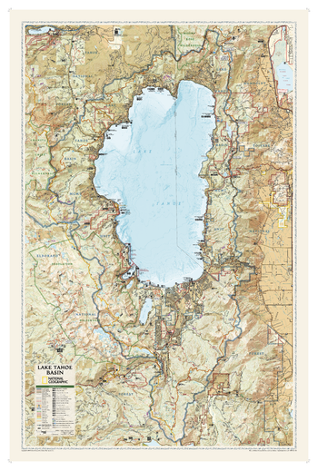
Lake Tahoe Basin
National Geographic
National Geographic's wall map Lake Tahoe Basin is one of the largest and most detailed maps available of this spectacular area that straddles the California-Nevada border. Beautifully rendered and overflowing with information, it is the perfect addition to any home, office or school decor. Stunning shaded relief along with topographic and bathymetric contour lines produce an unparalleled visualization of the lake and the surrounding private and public lands, including national forests, wildlife and wilderness areas, state parks and nature preserves. Land and water recreation sites are pinpointed, such as trails, including the Pacific Crest, Tahoe Rim and Pony Express trails, scenic byways and areas for swimming, skiing, scuba diving, fishing, camping.
Page Size: 26.5 x 40.5 in (673 x 1029 mm)
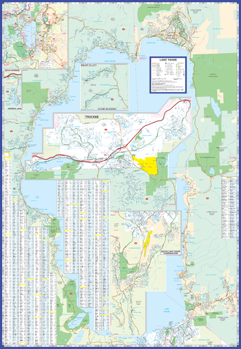
Lake Tahoe Map
GM Johnson
Lake Tahoe / Truckee, California Street Map. Includes: Tahoe-Carson Area Map,Alpine Meadows, Carnelian Bay, Homewood, Incline Village, Kings Beach, Lahontan, Meyers, Northstar, Rubicon Bay, Serena Lake, Soda Springs, South Lake Tahoe, Squaw Valley, Summitvillage, Tahoe City, Tahoe Village, Tahoma, Truckee & Zephyr Cove. Index of Streets & Selected Points of Interest.
Page Size: 27.25 x 39.5 in (692 x 1003 mm)
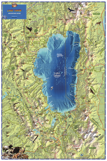
Lake Tahoe, California Wall Map
Franko Maps
A gorgeous, detailed map of the lake and surrounding area, with land and water shading, extending at least 6 miles beyond the lake in each direction. The map shows town and place names, roads, the Tahoe Rim Trail and other hiking trails, national forests and recreation areas, ski areas, golf courses, mountain peaks, anchorages, and more.
Page Size: 24 x 36 in (610 x 914 mm)
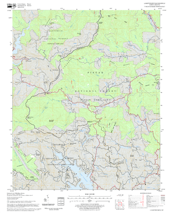
Lake Toxaway Quadrangle, North Carolina
United States Forest Service
United States Department of Agriculture Forestry Service topographical map of Lake Toxaway, Pisgah National Forest, North Carolina.
Page Size: 21.75 x 27 in (552 x 686 mm)
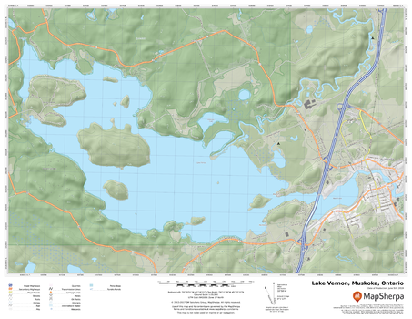
Lake Vernon, Muskoka, Ontario
MapSherpa
A cartographically beautiful map of Lake Vernon, Muskoka, Ontario ideal for showing off cottages, resorts, lakes and other favourite places.
Page Size: 22 x 17 in (559 x 432 mm)

Lake Winnebago
Mapping Specialists
An Attractive map of the lake showing a visual 3D representation of the lake bottom. Includes boat launches, rock area and vegetation. Land area is high resolution aerial imagery.
Page Size: 27.75 x 37.25 in (705 x 943 mm)

Lake Wisconsin
Mapping Specialists
An Attractive map of the lake showing a visual 3D representation of the lake bottom. Includes boat launches, rock area and vegetation. Land area is high resolution aerial imagery.
Page Size: 37.25 x 27.75 in (943 x 705 mm)
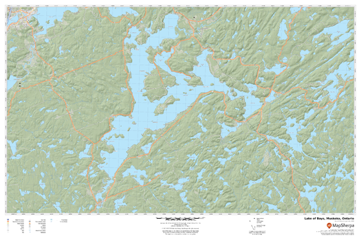
Lake of Bays, Muskoka, Ontario
MapSherpa
A cartographically beautiful map of Lake of Bays, Muskoka, Ontario ideal for showing off cottages, resorts, lakes and other favourite places.
Page Size: 36 x 24 in (914 x 610 mm)
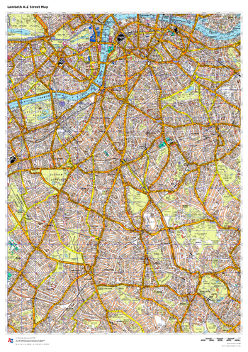
Lambeth A-Z Street Map
A-Z Maps
This up-to-date A-Z street map covers the London Borough of Lambeth, including the districts of Brixton, Clapham, Kennington and Streatham..
Page Size: 23.5 x 33.25 in (594 x 841 mm)
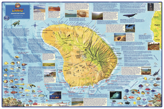
Lanai, Hawaii Wall Map
Franko Maps
The entire island of Lanai depicted on a detailed, dramatic relief map. Hypsometric tinting employs colors to visualize land heights and water depths. Descriptions of outdoor recreation opportunities, golf courses, points of interest and more.
Page Size: 36 x 24 in (914 x 610 mm)
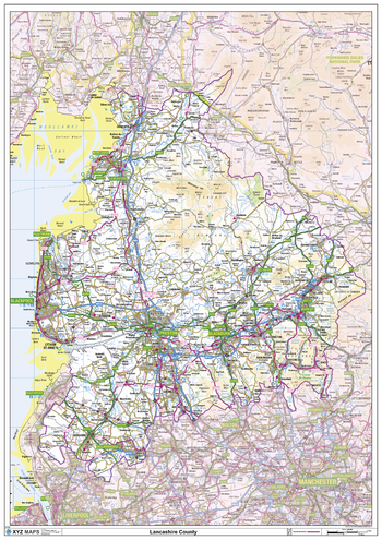
Lancashire County Map
XYZ Maps
This is a large ceremonial county map of Lancashire highlighting the county border, with the surrounding area faded out for excellent contrast. The map covers Morecombe, Lancaster, Fleetwood, Blackpool, Skelmersdale, Preston, Blackburn, Burnley and Clitheroe. The county map shows the latest County and Unitary Authority Boundaries, Overlaid on a Clear and Easy to Read Ordnance Survey map.
Page Size: 33.25 x 47 in (841 x 1189 mm)
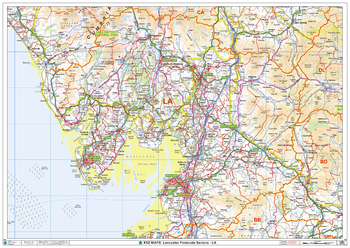
Lancaster - LA - Postcode Wall Map
XYZ Maps
The Lancaster Postcode Sector Wall Map shows detailed postcode sector boundaries (LA1 1, LA1 2) on a comprehensive background and is perfect for determining postcode boundaries for sales areas, planning mailshots and also an excellent reference for logistics. This wall map covers the whole of the LA Postcode Area.
Page Size: 47 x 33.25 in (1189 x 841 mm)
No search results