


MapSherpa Catalog

Kosciuszko Alpine Area, New South Wales Topographic Map
Spatial Vision
Outdoor Recreation Guide of Mount Kosciuszko Alpine area in Victoria for Bushwalking, skiing, mountain biking and car touring
Page Size: 39.5 x 32 in (1000 x 810 mm)

Kyiv City Map - Ukrainian - Extra Large
Kartographia
Detailed city map of Kyiv in Ukrainian. The map shows residential and industrial building in the city, city districts limits, historical parts of the city, forests, parks, metro stations and railways. The main streets are given including those renamed in 2015-2016.
Page Size: 43 x 54.5 in (1088 x 1384 mm)

Kyiv Tourist Map - Latynka
Kartographia
This easy to read tourist map of Kiev illustrates roads, highways and main thoroughfares. Detailed street information, including block numbers, as well as points of interest such as airports, railway stations, bus terminals, metro stations, embassies, museums, theaters, monuments, churches, hotels, parks and public gardens are clearly identified on the map. Two inset maps shows the city centre at a scale 1:17 000, and the Kyiv metro line.
Place names on the map are written in the Ukrainian Latin alphabet (Latynka). The map legend is in English, French and German.
Page Size: 30.75 x 25.25 in (780 x 640 mm)

Kyivska oblast Wall Map - Latynka
Kartographia
This wall map of the Kiev region features cultural and historical sites, sacred places, architectural monuments, reserves, nature monuments and tourist centers. A place name index of Kyivska oblast (Kiev region) is also included.
Place names on the map are written in the Ukrainian Latin alphabet (Latynka).
Page Size: 26.5 x 38.75 in (672 x 980 mm)
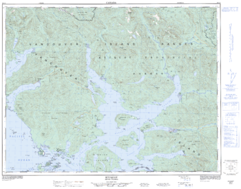
Kyuquot - 92 L/3 - British Columbia
Natural Resources Canada
Canadian topographic map of Kyuquot, British Columbia. NTS sheet 092L03 Edition 2.
Page Size: 32.25 x 25.5 in (816 x 642 mm)
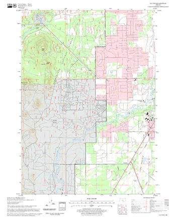
La Pine Quadrangle, Oregon
United States Forest Service
United States Department of Agriculture Forestry Service topographical map of La Pine, Deschutes National Forest, Oregon.
Page Size: 21.75 x 27 in (552 x 686 mm)
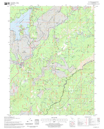
La Porte Quadrangle, California
United States Forest Service
United States Department of Agriculture Forestry Service topographical map of La Porte, Tahoe National Forest, California.
Page Size: 21.75 x 27 in (552 x 686 mm)

Lac Courte Oreilles Lake
Mapping Specialists
An Attractive map of the lake showing a visual 3D representation of the lake bottom. Includes boat launches, rock area and vegetation. Land area is high resolution aerial imagery.
Page Size: 37.25 x 27.75 in (943 x 705 mm)

Lac La Belle & Fowler lake
Mapping Specialists
An Attractive map of the lake showing a visual 3D representation of the lake bottom. Includes boat launches, rock area and vegetation. Land area is high resolution aerial imagery.
Page Size: 27.75 x 37.25 in (705 x 943 mm)
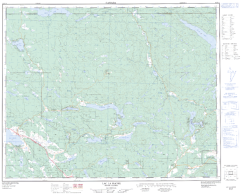
Lac La Hache - 92 P/14 - British Columbia
Natural Resources Canada
Canadian topographic map of Lac La Hache, British Columbia. NTS sheet 092P14 Edition 2.
Page Size: 31.5 x 25.25 in (795 x 640 mm)

Lac Vieux Desert Lake
Mapping Specialists
An Attractive map of the lake showing a visual 3D representation of the lake bottom. Includes boat launches, rock area and vegetation. Land area is high resolution aerial imagery.
Page Size: 37.25 x 27.75 in (943 x 705 mm)
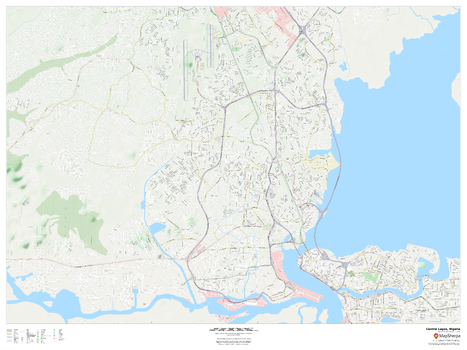
Lagos, Nigeria Inner Metro
MapSherpa
This detailed street map of central Lagos, Nigeria shows the full road and rail networks, points of interest, and land use across the city. Useful for businesses operating in the city, or as consumer memorabilia of the city.
Page Size: 48 x 36 in (1219 x 914 mm)
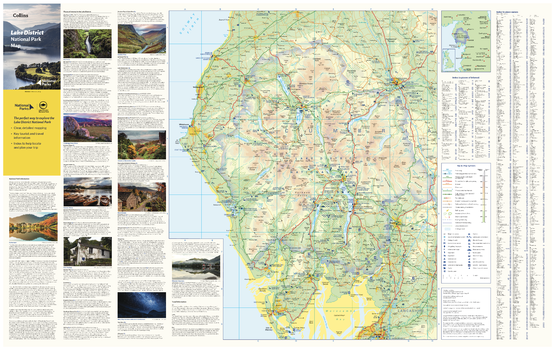
Lake District National Park Map
Collins
With clear mapping and a high level of detail, explore the Lake District National Park easily with maps from Collins. This map identifies key park, tourist, and travel information, presented alongside a selection of photographs, making it an ideal companion for those exploring this beautiful area of Northwest England.
Page Size: 35.5 x 22.25 in (900 x 560 mm)
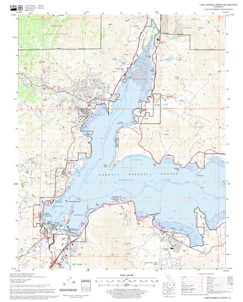
Lake Isabella North Quadrangle, California
United States Forest Service
United States Department of Agriculture Forestry Service topographical map of Lake Isabella North, Sequoia National Forest, California.
Page Size: 21.75 x 27 in (552 x 686 mm)
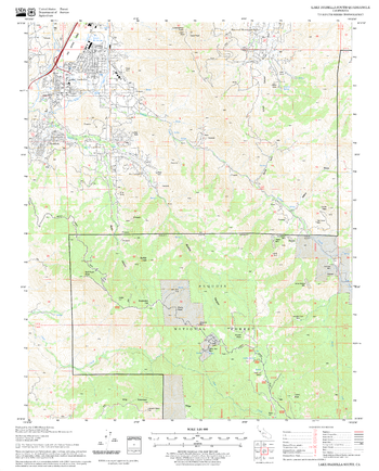
Lake Isabella South Quadrangle, California
United States Forest Service
United States Department of Agriculture Forestry Service topographical map of Lake Isabella South, Sequoia National Forest, California.
Page Size: 21.75 x 27 in (552 x 686 mm)
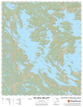
Lake Joseph, Muskoka Lakes, Ontario
MapSherpa
A cartographically beautiful map of Lake Joseph, Muskoka Lakes, Ontario ideal for showing off cottages, resorts, lakes and other favourite places.
Page Size: 17 x 22 in (432 x 559 mm)

Lake Louise & Area
GoTrekkers
Lake Louise & Area
Page Size: 41 x 39.75 in (1041 x 1010 mm)

Lake Louise North
GoTrekkers
Lake Louise North
Page Size: 43 x 32.5 in (1092 x 824 mm)

Lake Mendota
Mapping Specialists
An Attractive map of the lake showing a visual 3D representation of the lake bottom. Includes boat launches, rock area and vegetation. Land area is high resolution aerial imagery.
Page Size: 37.25 x 27.75 in (943 x 705 mm)

Lake Michigan
Mapping Specialists
An Attractive map of the lake showing a visual 3D representation of the lake bottom. Includes boat launches, rock area and vegetation.
Page Size: 27.75 x 37.25 in (705 x 943 mm)
No search results