


MapSherpa Catalog
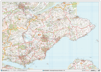
Kirkcaldy - KY - Postcode Wall Map
XYZ Maps
The Kirkcaldy Postcode Sector Wall Map shows detailed postcode sector boundaries (KY1 1, KY1 2) on a comprehensive background and is perfect for determining postcode boundaries for sales areas, planning mailshots and also an excellent reference for logistics. This wall map covers the whole of the KY Postcode Area.
Page Size: 47 x 33.25 in (1189 x 841 mm)
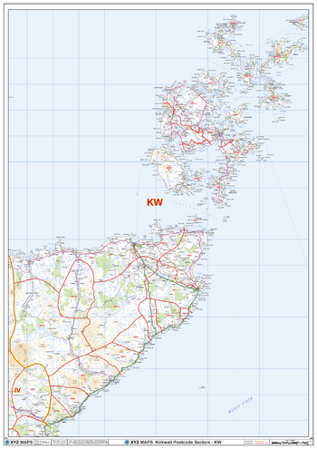
Kirkwall - KW - Postcode Wall Map
XYZ Maps
The Kirkwall Postcode Sector Wall Map shows detailed postcode sector boundaries (KW1 1, KW1 2) on a comprehensive background and is perfect for determining postcode boundaries for sales areas, planning mailshots and also an excellent reference for logistics. This wall map covers the whole of the KW Postcode Area.
Page Size: 33.25 x 47 in (841 x 1189 mm)
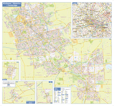
Kitchener Waterloo Cambridge Wall Map - Street Detail
Lucidmap
This Kitchener Waterloo Cambridge wall map shows highly detailed local information for the Tri-Cities metropolitain area. Full street labeling along with transit information, parks, schools, churches and landmarks throughout the city are displayed.
The map has been designed in a very clear and legible manner with a traditional Canadian street map style embraced by map buyers over many years.
Page Size: 38.5 x 35.5 in (975 x 900 mm)
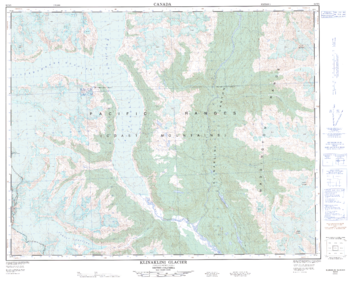
Klinaklini Galcier - 92 N/5 - British Columbia
Natural Resources Canada
Canadian topographic map of Klinaklini Galcier, British Columbia. NTS sheet 092N05 Edition 1.
Page Size: 31.75 x 25.5 in (805 x 645 mm)

Kluane National Park
GoTrekkers
Kluane National Park
Page Size: 41.5 x 28 in (1054 x 711 mm)
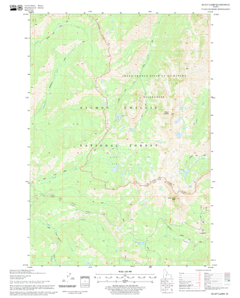
Knapp Lakes Quadrangle, Idaho
United States Forest Service
United States Department of Agriculture Forestry Service topographical map of Knapp Lakes, Salmon-Chalis National Forest, Idaho.
Page Size: 21.75 x 27 in (552 x 686 mm)
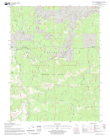
Kneecap Ridge Quadrangle, California
United States Forest Service
United States Department of Agriculture Forestry Service topographical map of Kneecap Ridge, Mendocino National Forest, California.
Page Size: 21.75 x 27 in (552 x 686 mm)
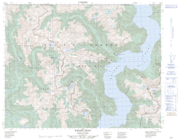
Knight Inlet - 92 K/13 - British Columbia
Natural Resources Canada
Canadian topographic map of Knight Inlet, British Columbia. NTS sheet 092K13 Edition 1.
Page Size: 32 x 25 in (808 x 632 mm)
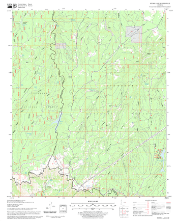
Knoll Lake Quadrangle, Arizona
United States Forest Service
United States Department of Agriculture Forestry Service topographical map of Knoll Lake, Coconino National Forest, Arizona.
Page Size: 21.75 x 27 in (552 x 686 mm)
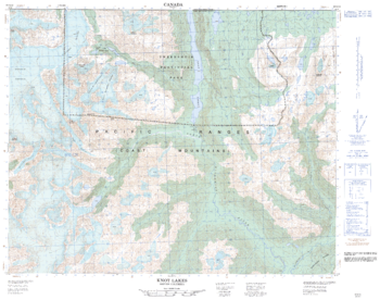
Knot Lakes - 92 N/13 - British Columbia
Natural Resources Canada
Canadian topographic map of Knot Lakes, British Columbia. NTS sheet 092N13 Edition 1.
Page Size: 31.75 x 25 in (801 x 632 mm)

Kokanee Glacier Provincial Park Summer
GoTrekkers
Kokanee Glacier Provincial Park Summer
Page Size: 40.5 x 33.5 in (1024 x 851 mm)

Kokanee Glacier Provincial Park Winter
GoTrekkers
Kokanee Glacier Provincial Park Winter
Page Size: 41 x 29.5 in (1041 x 749 mm)
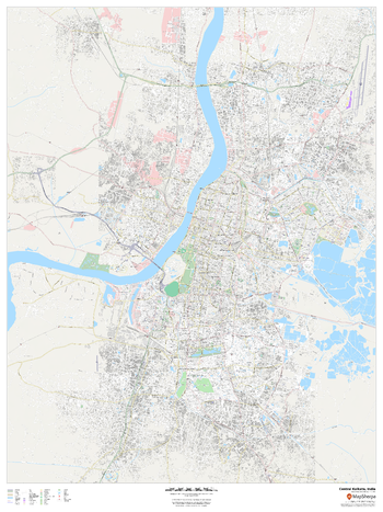
Kolkata, India Inner Metro
MapSherpa
This detailed street map of central Kolkata, India shows the full road and rail networks, points of interest, and land use across the city. Useful for businesses operating in the city, or as consumer memorabilia of the city.
Page Size: 36 x 48 in (914 x 1219 mm)

Kookanee Glacier Provincial Park
GoTrekkers
Kookanee Glacier Provincial Park
Page Size: 41 x 34 in (1041 x 864 mm)

Kootenay National Park
GoTrekkers
Kootenay National Park
Page Size: 26 x 50 in (660 x 1270 mm)
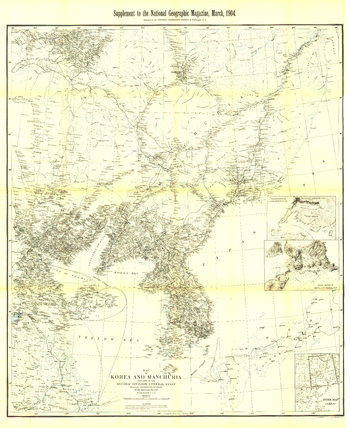
Korea and Manchuria - Published 1904
National Geographic
This historic black and white map of Korea and Manchuria contains exceptionally detailed inset maps of Port Arthur and Vladivostok. Published in March 1904 with the article "Russian Development of Manchuria," this intricate cartographic work is a fine addition to any map collection.
Page Size: 35 x 43 in (889 x 1086 mm)
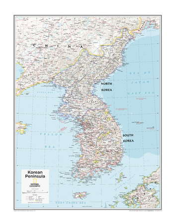
Korean Peninsula - Atlas of the World, 10th Edition
National Geographic
North Korea, South Korea
Page Size: 22 x 28 in (559 x 711 mm)
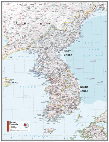
Korean Peninsula - Atlas of the World, 11th Edition
National Geographic
This Korean Peninsula map of physical and political features can fit in any space. Showcasing the region in stunning detail with state-of-the-art cartographic techniques delivering accuracy and exceptional quality, the innovative and engaging design makes the content easily accessible and user-friendly.
Ideal for classrooms with an emphasis on teaching geography or environmental themes. The inclusion of physical features gives your students a genuine feel for how our world appears.
This map uses a bright, easy to read color palette featuring blue oceans and stunning shaded relief that has been featured on National Geographic wall maps for over 75 years. It is drawn in Polyconic projection, where the parallels are all non-concentric circular arcs except for the equator, which is straight. Insets of central Japan and Ryukyu Islands and lists of administrative regions of both nations add detail to this map.
This map is found in National Geographic's 11th Edition World Atlas and is now available as a stand alone product.
Page Size: 24 x 31.5 in (610 x 798 mm)
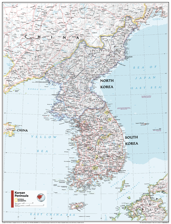
Korean Peninsula - Atlas of the World, 11th Edition - Compact
National Geographic
This Korean Peninsula map of physical and political features can fit in any space. Showcasing the region in stunning detail with state-of-the-art cartographic techniques delivering accuracy and exceptional quality, the innovative and engaging design makes the content easily accessible and user-friendly.
Ideal for classrooms with an emphasis on teaching geography or environmental themes. The inclusion of physical features gives your students a genuine feel for how our world appears.
This map uses a bright, easy to read color palette featuring blue oceans and stunning shaded relief that has been featured on National Geographic wall maps for over 75 years. It is drawn in Polyconic projection, where the parallels are all non-concentric circular arcs except for the equator, which is straight. Insets of central Japan and Ryukyu Islands and lists of administrative regions of both nations add detail to this map.
This map is found in National Geographic's 11th Edition World Atlas and is now available as a stand alone product.
Page Size: 16.25 x 21.5 in (413 x 540 mm)
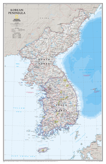
Korean Peninsula Classic
National Geographic
Amid increasingly combative rhetoric from Pyongyang, North Korea, do you know where its underground nuclear test site or missile launch centers are located? Are you aware that the South Korean government has begun a program to move its federal offices and personnel from Seoul to a new location? National Geographic's Korean Peninsula map provides this and much more information about this conflicted peninsula.National Geographic Maps' Korean Peninsula wall map is one of the most authoritative maps of the Koreas. The peninsula's rugged terrain is expertly depicted in shaded relief, including the elevation of prominent mountains and ocean depths in meters. This edition clearly portrays both countries and uses the latest system for transcribing South Korean place-names from the Korean alphabet. In great detail, it delineates the latest administrative divisions of both countries along with the July 27, 1953 Military Demarcation Line-the historic demarcation line between the two Koreas. The map also portrays the transportation grid of both countries, including South Korea's high-speed passenger railway network.The signature Classic style map uses a bright, easy to read color palette featuring blue oceans and stunning shaded relief that has been featured on National Geographic wall maps for over 75 years.
Page Size: 23.25 x 36 in (588 x 909 mm)
No search results