


MapSherpa Catalog
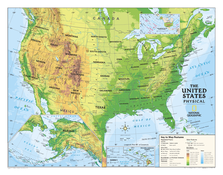
Kids Physical USA Education: Grades 4-12 Map
National Geographic
Physical map of the United States for grades 4-12. National Geographic's graded-series of maps are the first to address the unique needs of K-12 students as they advance their understanding of our World. Our Physical Series, grades 4-12, has World and U.S. maps increasing the detail of information for the teacher and student to utilize.
Page Size: 51 x 40 in (1295 x 1016 mm)
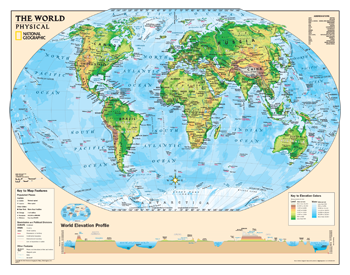
Kids Physical World Education: Grades 4-12
National Geographic
Physical map of the world for grades 4-12. National Geographic's graded-series of maps are the first to address the unique needs of K-12 students as they advance their understanding of our World.
Unlike other classroom poster maps, the world maps use the Winkel-Triple projection, which provides the best combination of size, shape, and distance giving the student the best visual representation of the Earth's surface in two dimensions. This solves the effect seen on other maps where Greenland appears larger than South America.
Page Size: 51 x 40 in (1295 x 1016 mm)
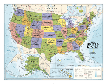
Kids Political USA Education: Grades 4-12
National Geographic
Political map of the United States for grades 4-12. National Geographic's graded-series of maps are the first to address the unique needs of K-12 students as they advance their understanding of our World.
Our Political Series, grades 4-12, has up-to-date World and U.S. maps, increasing the detail of information for the teacher and student to utilize.
Page Size: 51 x 40 in (1295 x 1016 mm)
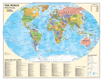
Kids Political World Education: Grades 4-12
National Geographic
Political map of the world for grades 4-12. National Geographic's graded-series of maps are the first to address the unique needs of K-12 students as they advance their understanding of our World.
Unlike other classroom poster maps, the world maps use the Winkel-Triple projection, which provides the best combination of size, shape, and distance giving the student the best visual representation of the Earth's surface in two dimensions. This solves the effect seen on other maps where Greenland appears larger than South America.
Our Political Series, grades 4-12, has up-to-date World and U.S. maps, increasing the detail of information for the teacher and student to utilize.
Page Size: 51 x 40 in (1295 x 1016 mm)
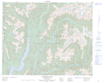
Kilbella River - 92 M/14 - British Columbia
Natural Resources Canada
Canadian topographic map of Kilbella River, British Columbia. NTS sheet 092M14 Edition 2.
Page Size: 31.75 x 25.25 in (803 x 638 mm)
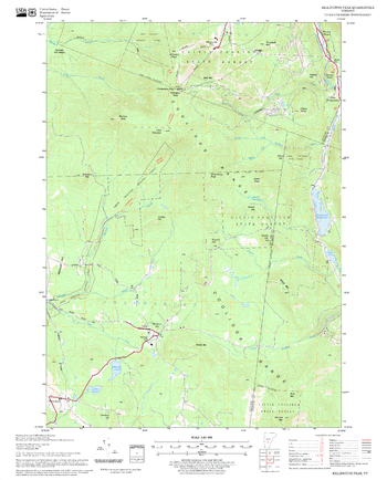
Killington Peak Quadrangle, New Hampshire-Vermont
United States Forest Service
United States Forestry Service topographical map of Killington Peak, New Hampshire-Vermont
Page Size: 21.75 x 27 in (552 x 686 mm)
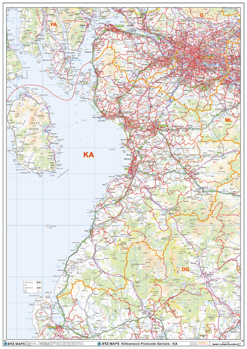
Kilmarnock - KA - Postcode Wall Map
XYZ Maps
The Kilmarnock Postcode Sector Wall Map shows detailed postcode sector boundaries (KA1 1, KA1 2) on a comprehensive background and is perfect for determining postcode boundaries for sales areas, planning mailshots and also an excellent reference for logistics. This wall map covers the whole of the KA Postcode Area.
Page Size: 33.25 x 47 in (841 x 1189 mm)
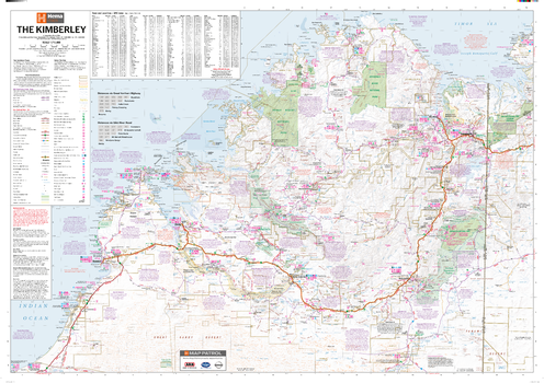
Kimberley Supermap
Hema Maps
A large map of the Kimberley that features 4WD tracks, touring information, points of interest, facilities and distances, making it the perfect trip planning tool and reference map.
Page Size: 55.25 x 38.75 in (1400 x 980 mm)
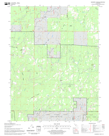
Kimshew Point Quadrangle, California
United States Forest Service
United States Department of Agriculture Forestry Service topographical map of Kimshew Point, Lassen National Forest, California.
Page Size: 21.75 x 27 in (552 x 686 mm)
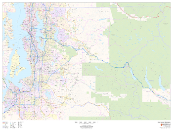
King County, Washington
MapSherpa
This map of King County, Washington shows regional level information. Base map features include highways and major roads with labelling; railways; high level land use such as parks and recreation areas; and a selection of points of interest including transportation hubs like airports and train stations, tourist information and police stations. ZIP code boundaries are shown as a secondary map feature.
Page Size: 48 x 36 in (1219 x 914 mm)
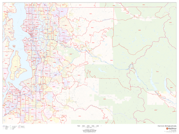
King County, Washington ZIP Codes
MapSherpa
This map of King County, Washington shows ZIP code areas overlaid on a road map. Ideal for planning of deliveries, home services, sales territories, real estate and much more. Base map features include all roads with major roads and highways labelled; neighborhood names; railways; and high level land use such as parks and recreation areas, industrial areas and hospital campuses.
Page Size: 48 x 36 in (1219 x 914 mm)
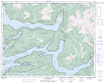
Kingcome Inlet - 92 L/16 - British Columbia
Natural Resources Canada
Canadian topographic map of Kingcome Inlet, British Columbia. NTS sheet 092L16 Edition 3.
Page Size: 32 x 25.5 in (811 x 642 mm)
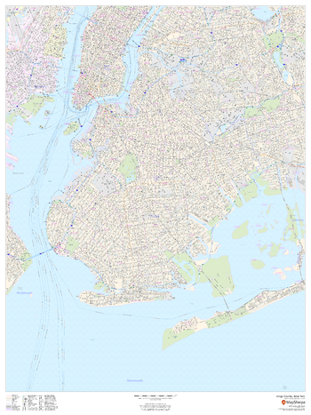
Kings County, New York
MapSherpa
This map of Kings County, New York shows detailed street level information including extensive street labeling. Ideal for planning of deliveries, home services, sales territories, real estate and much more. Base map features include all roads with major roads and highways labelled; neighborhood names; railways; high level land use such as parks and recreation areas, industrial areas and hospital campuses; and a variety of points of interest including schools, libraries, stadiums, museums, border crossings and more. ZIP code boundaries are shown as a secondary map feature.
Page Size: 36 x 48 in (914 x 1219 mm)
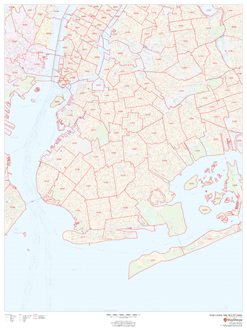
Kings County, New York ZIP Codes
MapSherpa
This map of Kings County, New York shows ZIP code areas overlaid on a road map. Ideal for planning of deliveries, home services, sales territories, real estate and much more. Base map features include all roads with major roads and highways labelled; neighborhood names; railways; and high level land use such as parks and recreation areas, industrial areas and hospital campuses.
Page Size: 36 x 48 in (914 x 1219 mm)
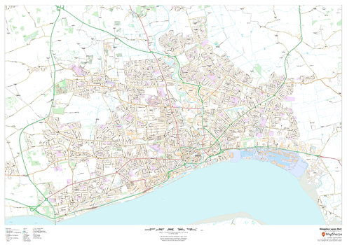
Kingston upon Hull
MapSherpa
This map of Kingston upon Hull shows detailed street level information including extensive street labelling. Ideal for planning of deliveries, home services, sales territories, real estate and much more.
Page Size: 47 x 33.25 in (1189 x 841 mm)
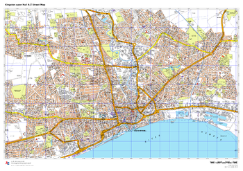
Kingston upon Hull A-Z Street Map
A-Z Maps
This up-to-date A-Z street map covers Kingston upon Hull, including the city centre together with the surrounding districts of Anlaby, Bransholme and Cottingham.
Page Size: 33.25 x 23.5 in (841 x 594 mm)
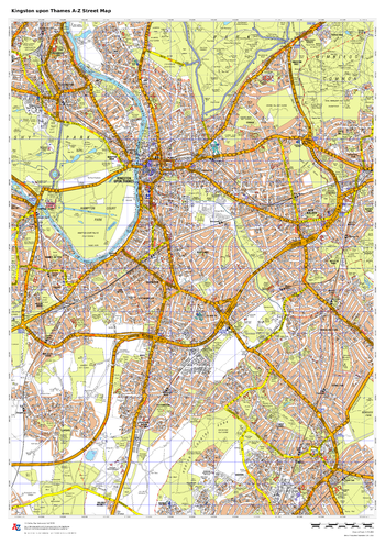
Kingston upon Thames A-Z Street Map
A-Z Maps
This up-to-date A-Z street map covers the London Borough of Kensington and Chelsea, including the districts of Chelsea, Earl’s Court, Kensington, Ladbroke Grove, Notting Hill, South Kensington and West Brompton.
Page Size: 23.5 x 33.25 in (594 x 841 mm)
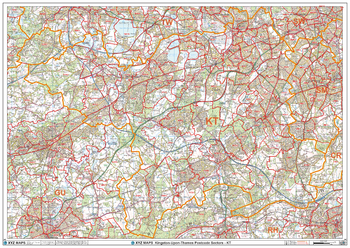
Kingston-Upon-Thames - KT - Postcode Wall Map
XYZ Maps
The Kingston-Upon-Thames Postcode Sector Wall Map shows detailed postcode sector boundaries (KT1 1, KT1 2) on a comprehensive background and is perfect for determining postcode boundaries for sales areas, planning mailshots and also an excellent reference for logistics. This wall map covers the whole of the KT Postcode Area.
Page Size: 47 x 33.25 in (1189 x 841 mm)
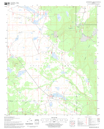
Kinnikinick Lake Quadrangle, Arizona
United States Forest Service
United States Department of Agriculture Forestry Service topographical map of Kinnikinick Lake, Coconino National Forest, Arizona.
Page Size: 21.75 x 27 in (552 x 686 mm)
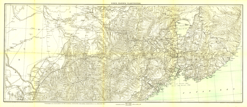
Kirin Harbin Vladivostok - Published 1905
National Geographic
The Trans-Siberian Railway, completed in 1903, is a network of railways connecting the Russian Far East and the Sea of Japan with Moscow. It is the longest railway in the world with branch lines to China through Mongolia and Manchuria. This beautifully rendered antique map of the region from Vladivostok to Kirin and Harbin was published by National Geographic in June of 1905.
Page Size: 46 x 20 in (1166 x 506 mm)
No search results