top of page
Historic Middlesex County Map
XYZ Maps
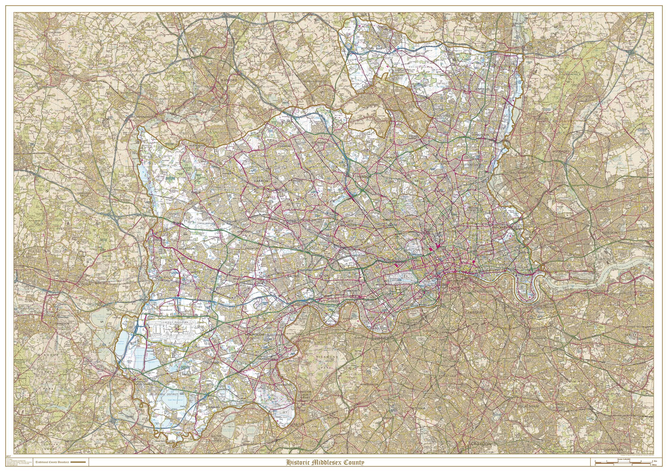
This is a historic county map of Middlesex, highlighting the traditional county border, the surrounding area is faded out with a sepia tint for excellent contrast. The historic map covers, Potters Bar, Enfield, Southgate, Edmonton, Tottenham, Wood Green, Friern Barnet, Hornsey, Finchley, Hendon, Harrow, Ruislip-Northwood, Uxbridge, Ealing, Wembley, Willesden, Acton, Brentford and Chiswick, Heston and Isleworth, Southall, Hayes and Harlington, Yiewsley and West Drayton, Staines, Feltham, Twickenham, and Sunbury-on-Thames. The traditional county map has the historic county boundaries overlaid on an up to date Ordnance Survey 1:50,000 scale map.
Page Size: 47 x 33.25 in (1189 x 841 mm)
Buy this map on MapTrove.ca
bottom of page