United States Department of Agriculture Forest Service
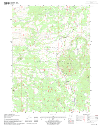
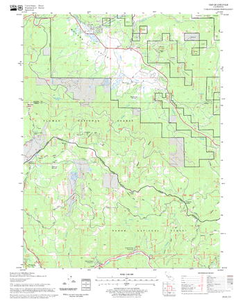
China Hat Quadrangle, Oregon
United States Department of Agriculture Forestry Service topographical map of China Hat, Deschutes National Forest, Oregon.
Page Size: 21.75 x 27 in (552 x 686 mm)
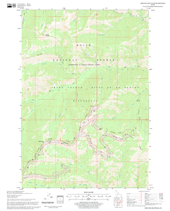
Chinook Mountain Quadrangle, Idaho
United States Department of Agriculture Forestry Service topographical map of Chinook Mountain, Salmon-Chalis National Forest, Idaho.
Page Size: 21.75 x 27 in (552 x 686 mm)
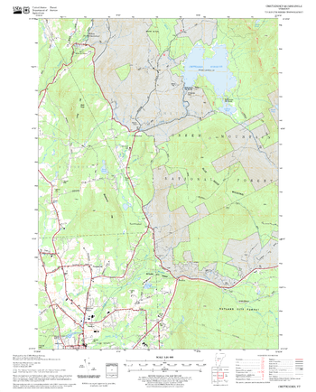
Chittenden Quadrangle, New Hampshire-Vermont
United States Forestry Service topographical map of Chittenden, New Hampshire-Vermont
Page Size: 21.75 x 27 in (552 x 686 mm)
Chrome Quadrangle, California
United States Department of Agriculture Forestry Service topographical map of Chrome, Mendocino National Forest, California.
Page Size: 21.75 x 27 in (552 x 686 mm)
Cicero Peak Quadrangle, South Dakota
United States Department of Agriculture Forestry Service topographical map of Cicero Peak, Black Hills National Forest, South Dakota.
Page Size: 21.75 x 27 in (552 x 686 mm)
Cisco Grove Quadrangle, California
United States Department of Agriculture Forestry Service topographical map of Cisco Grove, Tahoe National Forest, California.
Page Size: 21.75 x 27 in (552 x 686 mm)
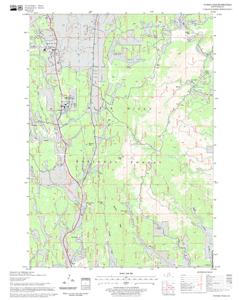
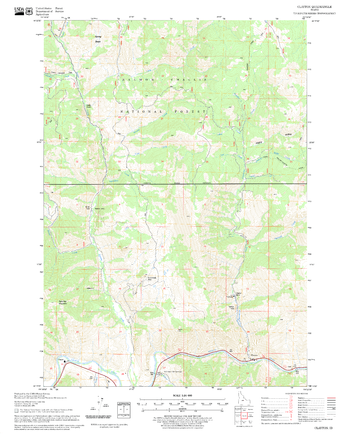
Claraville Quadrangle, California
United States Department of Agriculture Forestry Service topographical map of Claraville, Sequoia National Forest, California.
Page Size: 21.75 x 27 in (552 x 686 mm)
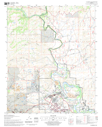
Clarkdale Quadrangle, Arizona
United States Department of Agriculture Forestry Service topographical map of Clarkdale, Coconino National Forest, Arizona.
Page Size: 21.75 x 27 in (552 x 686 mm)
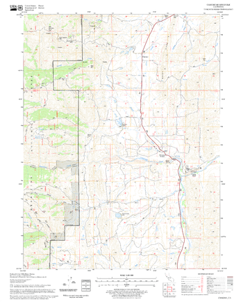
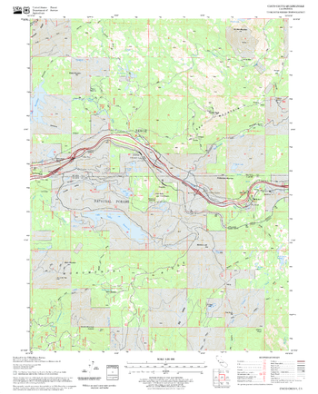
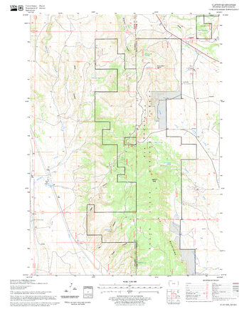
Clayton Quadrangle, Idaho
United States Department of Agriculture Forestry Service topographical map of Clayton, Salmon-Chalis National Forest, Idaho.
Page Size: 21.75 x 27 in (552 x 686 mm)
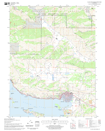
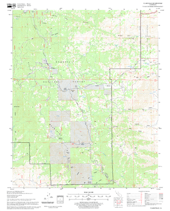
Clearlake Oaks Quadrangle, California
United States Department of Agriculture Forestry Service topographical map of Clearlake Oaks, Mendocino National Forest, California.
Page Size: 21.75 x 27 in (552 x 686 mm)
Clifton Quadrangle, South Dakota
United States Department of Agriculture Forestry Service topographical map of Clifton, Black Hills National Forest, South Dakota.
Page Size: 21.75 x 27 in (552 x 686 mm)
Clio Quadrangle, California
United States Department of Agriculture Forestry Service topographical map of Clio, Tahoe National Forest, California.
Page Size: 21.75 x 27 in (552 x 686 mm)
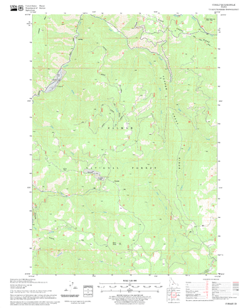
Cobalt Quadrangle, Idaho
United States Department of Agriculture Forestry Service topographical map of Cobalt, Salmon-Chalis National Forest, Idaho.
Page Size: 21.75 x 27 in (552 x 686 mm)
Coble Mountain Quadrangle, California
United States Department of Agriculture Forestry Service topographical map of Coble Mountain, Lassen National Forest, California.
Page Size: 21.75 x 27 in (552 x 686 mm)
Cohasset Quadrangle, California
United States Department of Agriculture Forestry Service topographical map of Cohasset, Lassen National Forest, California.
Page Size: 21.75 x 27 in (552 x 686 mm)
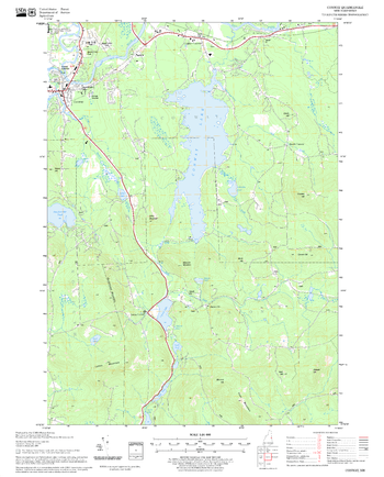
Conway Quadrangle, New Hampshire-Vermont
United States Forestry Service topographical map of Conway, New Hampshire-Vermont
Page Size: 21.75 x 27 in (552 x 686 mm)
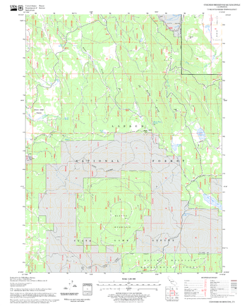
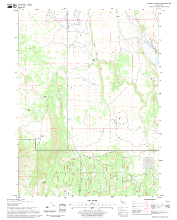
Corders Reservoir Quadrangle, California
United States Department of Agriculture Forestry Service topographical map of Corders Reservoir, Lassen National Forest, California.
Page Size: 21.75 x 27 in (552 x 686 mm)
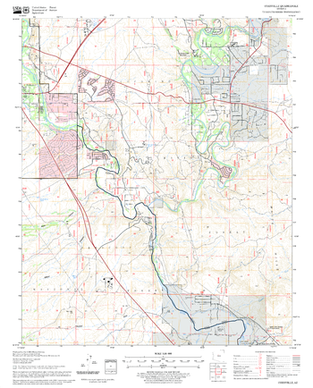
Cornville Quadrangle, Arizona
United States Department of Agriculture Forestry Service topographical map of Cornville, Coconino National Forest, Arizona.
Page Size: 21.75 x 27 in (552 x 686 mm)
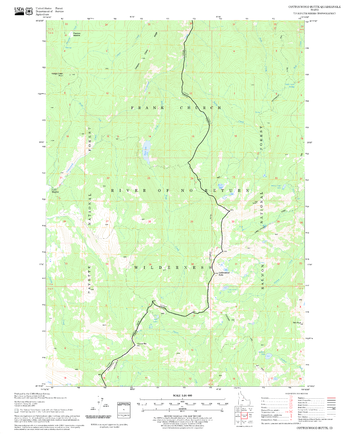
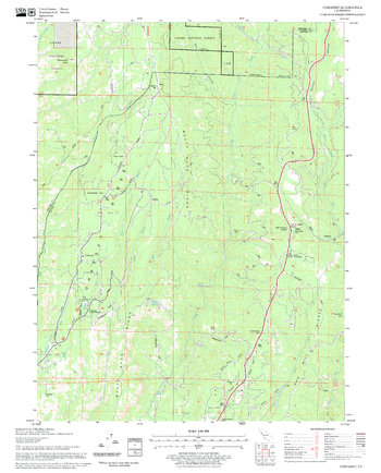
Cottonwood Butte Quadrangle, Idaho
United States Department of Agriculture Forestry Service topographical map of Cottonwood Butte, Salmon-Chalis National Forest, Idaho.
Page Size: 21.75 x 27 in (552 x 686 mm)
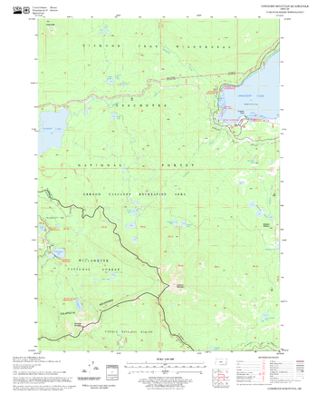
Cowhorn Mountain Quadrangle, Oregon
United States Department of Agriculture Forestry Service topographical map of Cowhorn Mountain, Deschutes National Forest, Oregon.
Page Size: 21.75 x 27 in (552 x 686 mm)