top of page
The Times Map of Oceania (Political Features)
The Times
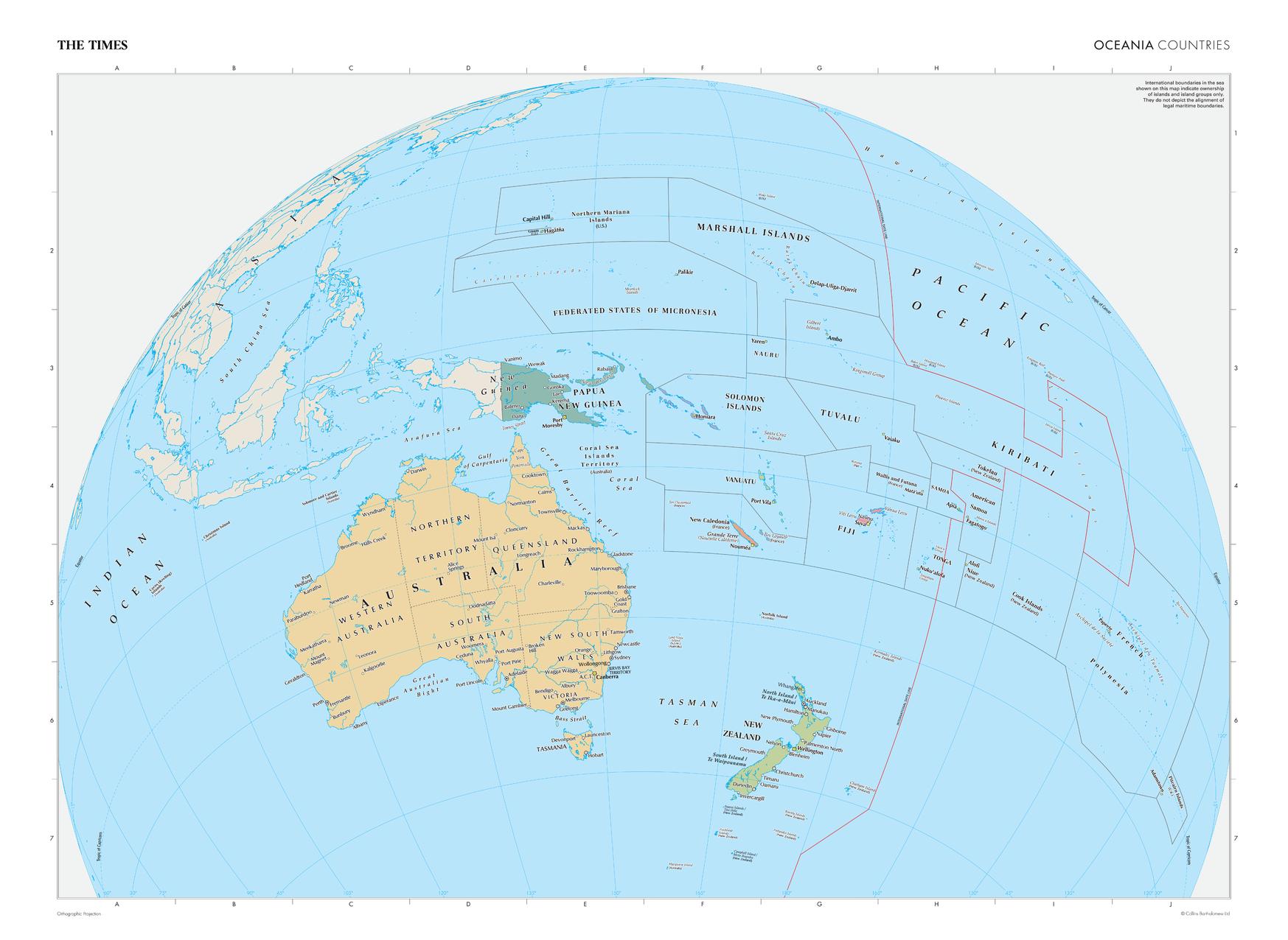
This map of Oceania's political features is a benchmark of cartographic excellence, taken from the industry leading Times Comprehensive Atlas of the World series. Showing the full extent of Oceania with clearly marked international boundaries detailing Island and Island Group ownership. Australia, New Zealand, and New Guinea are all clearly identifiable, as are the numerous island groups within this area, including: Solomon Islands, Federated States of Micronesia and Fiji. Each element is carefully chosen to make the map a coherent and attractive visual guide to Oceania's political features.
Page Size: 36.5 x 26.75 in (924 x 675 mm)
Buy this map on MapTrove.ca

bottom of page


