top of page
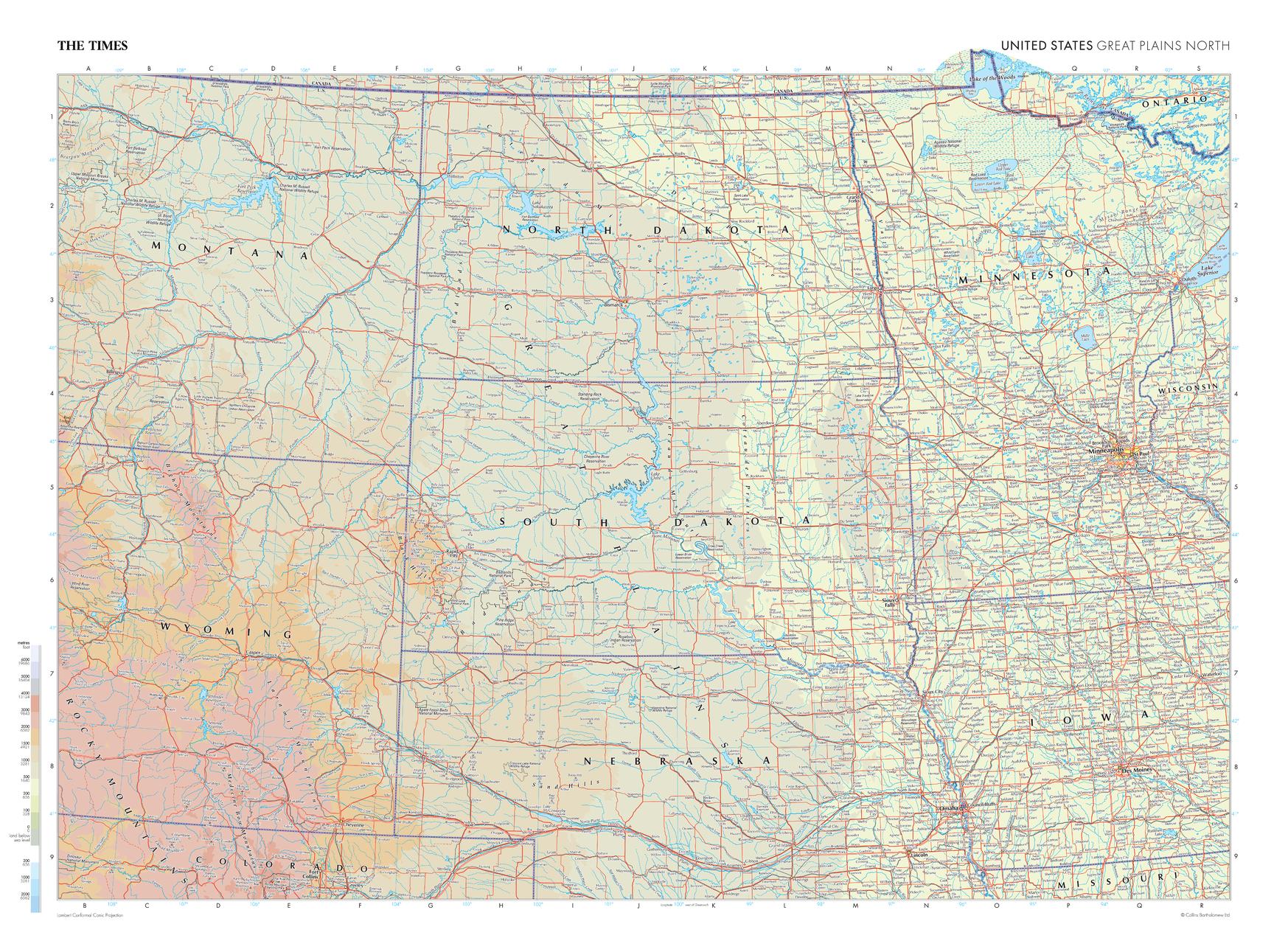
The Times Map of Great Plains North (United States)
The Times
This map of the US Great Plains (north) stands as a benchmark of cartographic excellence, sourced from the industry-leading Times Comprehensive Atlas of the World. Published in full colour, this map offers a comprehensive and updated view of the diverse landscapes that are found in this region. Encompassing states such as North Dakota, South Dakota, Nebraska, Wyoming and Minnesota, this map includes prominent features including: the vast prairie landscapes, the marshlands in the north east, and the city of Minneapolis. With meticulous attention to detail, this map is an indispensable guide to the geographic intricacies of the US Great Plains North.
Page Size: 36.5 x 26.75 in (924 x 675 mm)
Buy this map on MapTrove.ca

bottom of page


