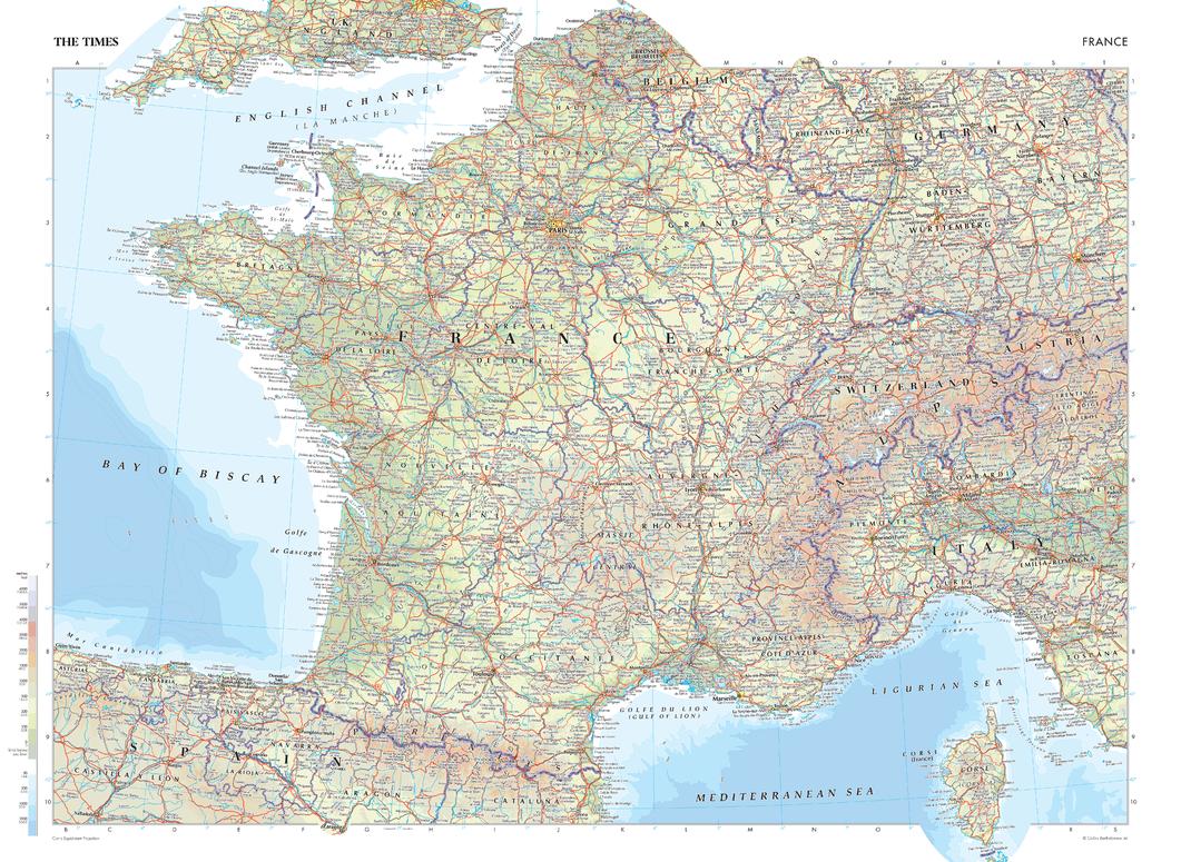
The Times Map of France - Compact
The Times
This map of France is a benchmark of cartographic excellence, taken from the industry leading Times Comprehensive Atlas of the World. There is a high level of detail packed into the map, yet the positioning of every element is carefully chosen to make the map coherent and attractive. Major cities including Lyon and Marseille are easily identifiable, as is the capital, Paris. International borders are clearly marked as are regional boundaries within France. Supplementary mapping covers Switzerland, northern Italy, Spain, western Germany and southern England. The island region of Corse (Corsica) is also fully visible. Geographical features such as the Alps and the Pyrenees Mountain range are also marked.
Page Size: 22.25 x 16.25 in (561 x 410 mm)
Buy this map on MapTrove.ca


