top of page
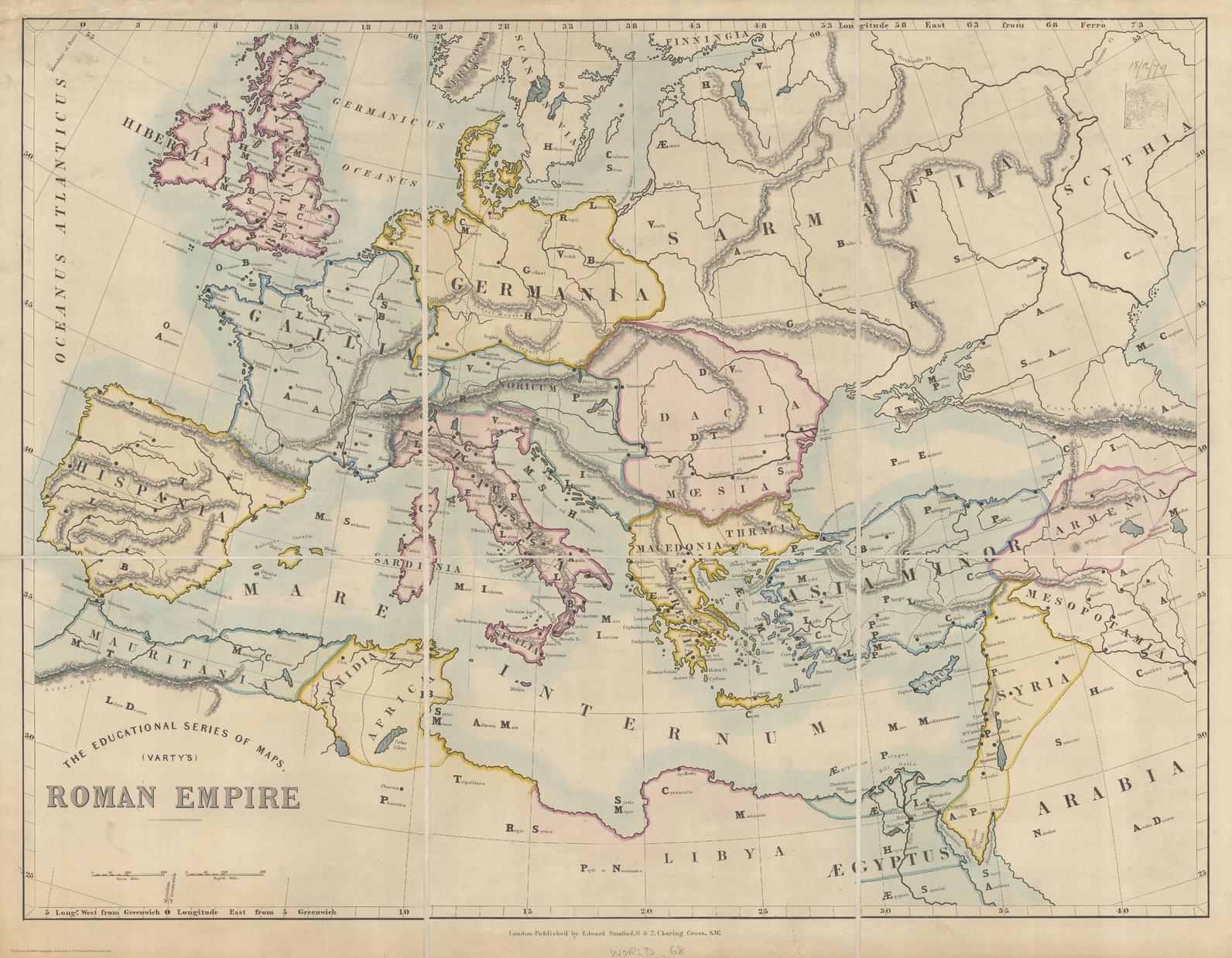
Stanford's Varty's Roman Empire Map (1879)
Stanfords
The Stanford's Varty's Roman Empire Map is from a fascinating series of reproductions from our Edward Stanford Cartographic Collection archive. This educational map of the Roman Empire was published by Edward Stanford in 1879. Featuring Latin place names, this is a beautifully simple historic map that will appeal to anyone with an interest in the history of the Roman Empire.
Page Size: 26 x 33.25 in (656 x 843 mm)
Buy this map on MapTrove.ca

bottom of page


