top of page
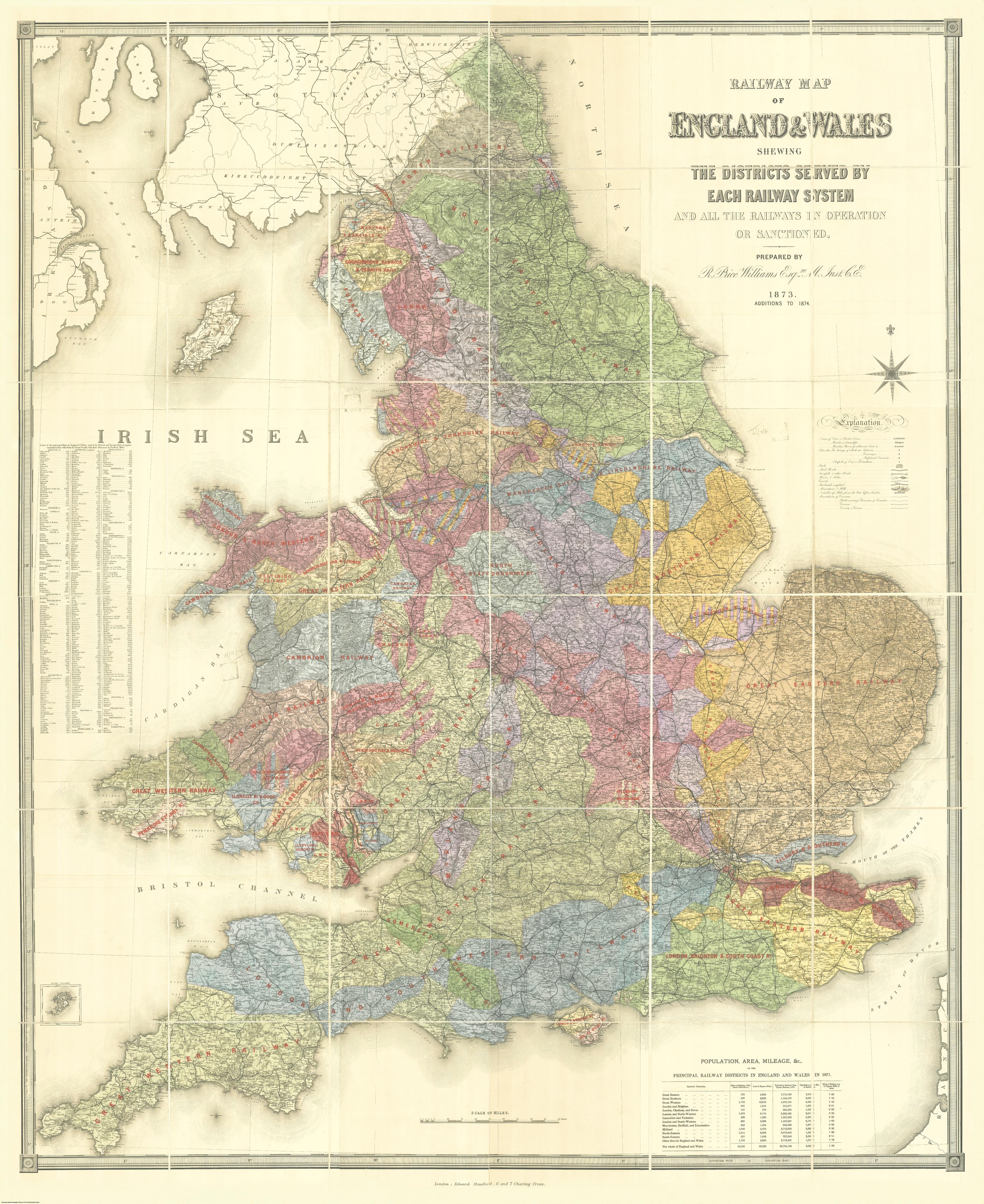
Stanford's Railway Map of England and Wales (1873/4)
Stanfords
The Stanford’s Railway Map of England and Wales is from a fascinating series of reproductions from our Edward Stanford Cartographic Collection archive.
Page Size: 71 x 86.75 in (1800 x 2201 mm)
Buy this map on MapTrove.ca
bottom of page