Spatial Vision
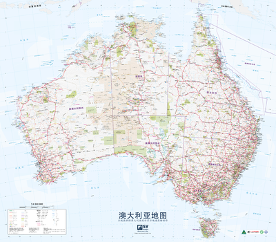
Australia Poster Map in Chinese
Australia Poster Map in Chinese
Page Size: 39.75 x 34.75 in (1006 x 881 mm)
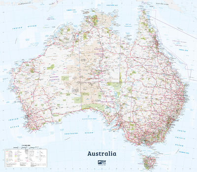
Australia Poster Map in English
Australia Poster Map in English
Page Size: 39.5 x 34.5 in (1000 x 875 mm)
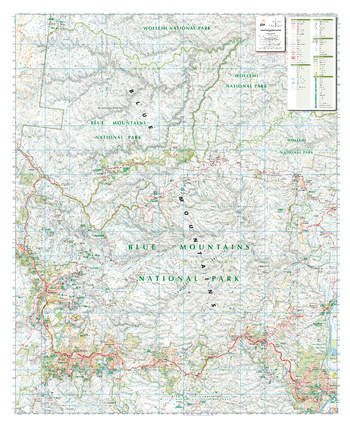
Blue Mountains North , New South Wales Topographic Map
Outdoor Recreation Guide of The Northern Blue Mountains in New South Wales for Bushwalking, mountain biking, car touring, rock climbing, water sports
Page Size: 34 x 41.5 in (860 x 1054 mm)
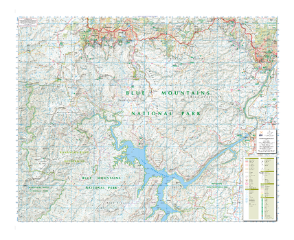
Blue Mountains South , New South Wales Topographic Map
Outdoor Recreation Guide of The Southern Blue Mountains in New South Wales for Bushwalking, mountain biking, car touring, rock climbing, water sports
Page Size: 41.5 x 34 in (1050 x 859 mm)
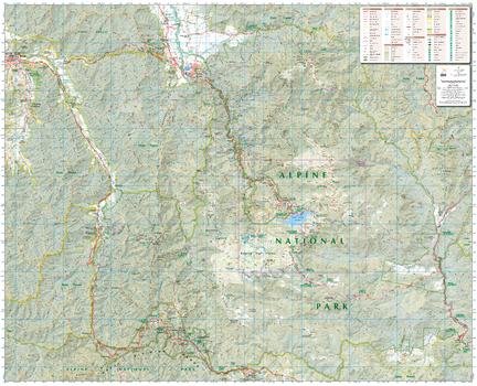
Bogong Alpine Area, Victoria Topographic Map
Outdoor Recreation Guide of Bogong Alpine area in Victoria for Bushwalking, skiing, mountain biking and car touring
Page Size: 39.5 x 32 in (1000 x 810 mm)
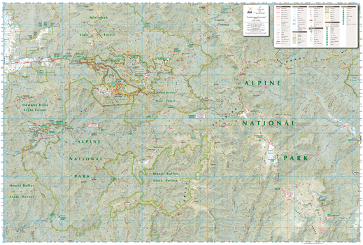
Buller-Howitt Alpine Area, Victoria Topographic Map
Outdoor Recreation Guide of Buller-Howitt Alpine area in Victoria for Bushwalking, skiing, mountain biking and car touring
Page Size: 39.5 x 26.75 in (1000 x 675 mm)

Kosciuszko Alpine Area, New South Wales Topographic Map
Outdoor Recreation Guide of Mount Kosciuszko Alpine area in Victoria for Bushwalking, skiing, mountain biking and car touring
Page Size: 39.5 x 32 in (1000 x 810 mm)
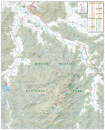
Mount Buffalo, Victoria Topographic Map
Outdoor Recreation Guide of Mount Buffalo National Park Alpine area in Victoria for Bushwalking, skiing, mountain biking and car touring
Page Size: 32 x 39.5 in (810 x 1000 mm)
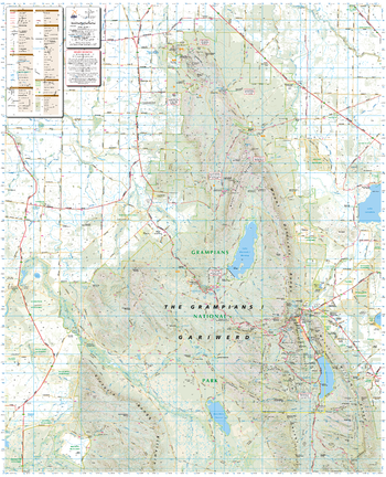
Northern Grampians, Victoria Topographic Map
Outdoor Recreation Guide of Northern Grampians region in Victoria for Bushwalking, mountain biking, car touring, rock climbing, water sports
Page Size: 32 x 39.5 in (810 x 1000 mm)

Otways East: Surfcoast, Victoria Topographic Map
Outdoor Recreation Guide of Otways East and Surf Coast region in Victoria for Bushwalking, mountain biking, trail bike riding, car touring, four wheel driving, water sports
Page Size: 37.25 x 29.75 in (945 x 750 mm)

Otways West: Shipwreck Coast, Victoria Topographic Map
Outdoor Recreation Guide of Otways West region in Victoria for Bushwalking, mountain biking, trail bike riding, car touring, four wheel driving, water sports
Page Size: 37.25 x 29.75 in (945 x 750 mm)

Tali Karng - Moroka, Victoria Topographic Map
Outdoor Recreation Guide of Tali Karng-Moroka area in Victoria for Bushwalking, skiing, mountain biking and car touring
Page Size: 39.5 x 32 in (1000 x 810 mm)
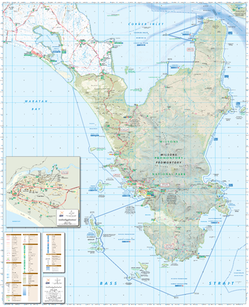
Wilsons Promontory, Victoria Topographic Map
Outdoor Recreation Guide of Wilsons Promontory National Park in Victoria for Bushwalking, camping, picnicking and water activities
Page Size: 32 x 39.5 in (810 x 1000 mm)