top of page


British Columbia
Sparrow Maps
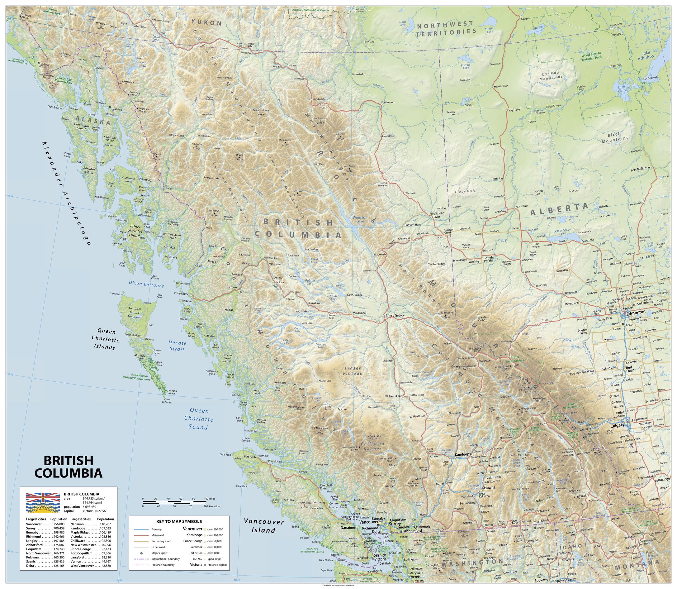
A physical map of the province of British Columbia, Canada, showing relief features on land and including National Park Reserves with administrative districts, settlements, roads and airports. The provincial flag is shown with the area and population and population figures for largest cities. An attractive map to give a comprehensive overview of the province.
Page Size: 45.5 x 39.5 in (1150 x 1000 mm)
Buy this map on MapTrove.ca
bottom of page