Oxford Cartographers
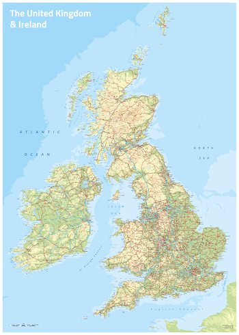
UK & Ireland Topographic
UK & Ireland map with coloured land height layers
Page Size: 23.5 x 33.25 in (594 x 841 mm)
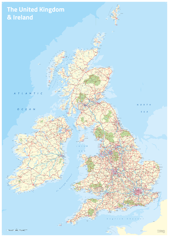
UK & Ireland flat tint land colour
UK & Ireland map with flat tint land colour
Page Size: 23.5 x 33.25 in (594 x 841 mm)
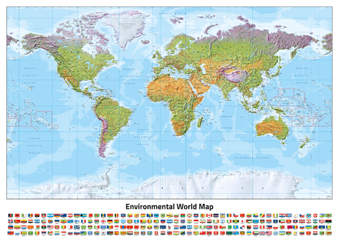
World Environmental (Miller projection)
World map, with environmental colours (vegetation/desert/ice), on the Miller Projection
Page Size: 33.25 x 23.5 in (841 x 594 mm)
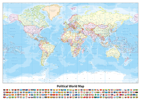
World Political (Miller projection)
World map, politically coloured, on the Miller Projection
Page Size: 33.25 x 23.5 in (841 x 594 mm)
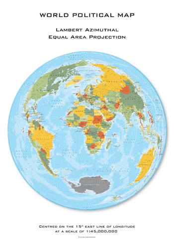
World Political Hexagons centred on 15° East
World map, with land area made up of hexagons, politically coloured, on the Lambert Azimuthal projection, centred on 15° East longitude
Page Size: 23.5 x 33.25 in (594 x 841 mm)
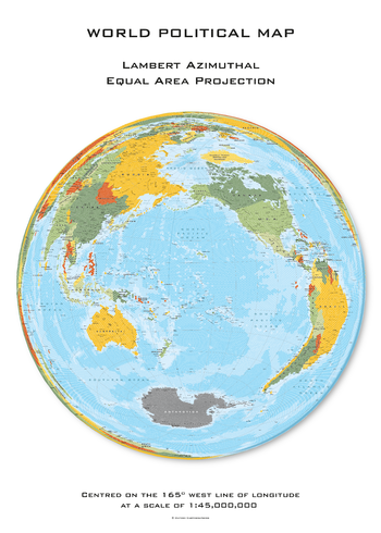
World Political Hexagons centred on 165° West
World map, with land area made up of hexagons, politically coloured, on the Lambert Azimuthal projection, centred on 165° West longitude
Page Size: 23.5 x 33.25 in (594 x 841 mm)
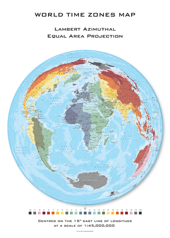
World Time Zones Hexagons centred on 15° East
World map, with land area made up of hexagons, with coloured time zones, on the Lambert Azimuthal projection, centred on 15° East longitude
Page Size: 23.5 x 33.25 in (594 x 841 mm)
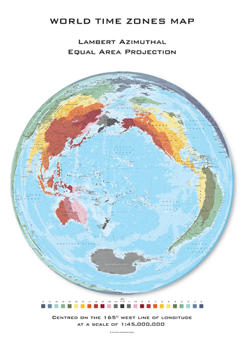
World Time Zones Hexagons centred on 165° West
World map, with land area made up of hexagons, with coloured time zones, on the Lambert Azimuthal projection, centred on 165° West longitude
Page Size: 23.5 x 33.25 in (594 x 841 mm)
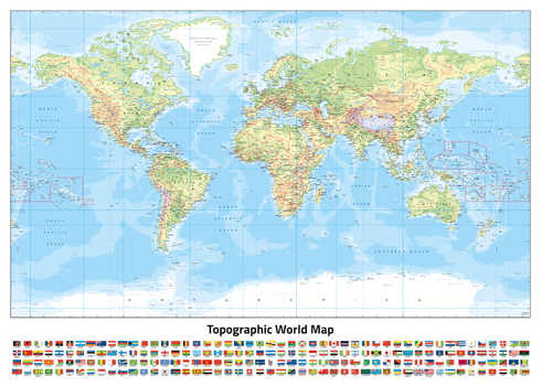
World Topographic (Miller projection)
World map, with coloured land height layers, on the Miller Projection
Page Size: 33.25 x 23.5 in (841 x 594 mm)
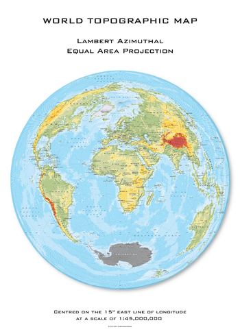
World Topographic Hexagons centred on 15° East
World map, with land area made up of hexagons, with coloured land height layers, on the Lambert Azimuthal projection, centred on 15° East longitude
Page Size: 23.5 x 33.25 in (594 x 841 mm)
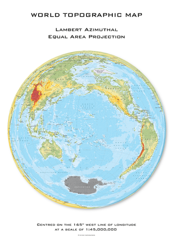
World Topographic Hexagons centred on 165° West
World map, with land area made up of hexagons, with coloured land height layers, on the Lambert Azimuthal projection, centred on 165° West longitude
Page Size: 23.5 x 33.25 in (594 x 841 mm)
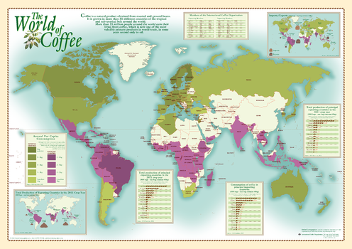
World of Coffee
World map showing coffee production and consumption
ISBN 9780946405411
Page Size: 33.25 x 23.25 in (840 x 590 mm)
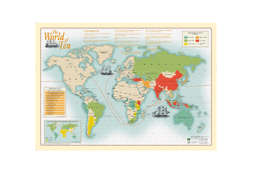
World of Tea
World map showing tea production and consumption
ISBN 9780946405060
Page Size: 33.25 x 23.25 in (840 x 590 mm)