top of page
Telegraphs Ontario and Quebec (1906)
Natural Resources Canada
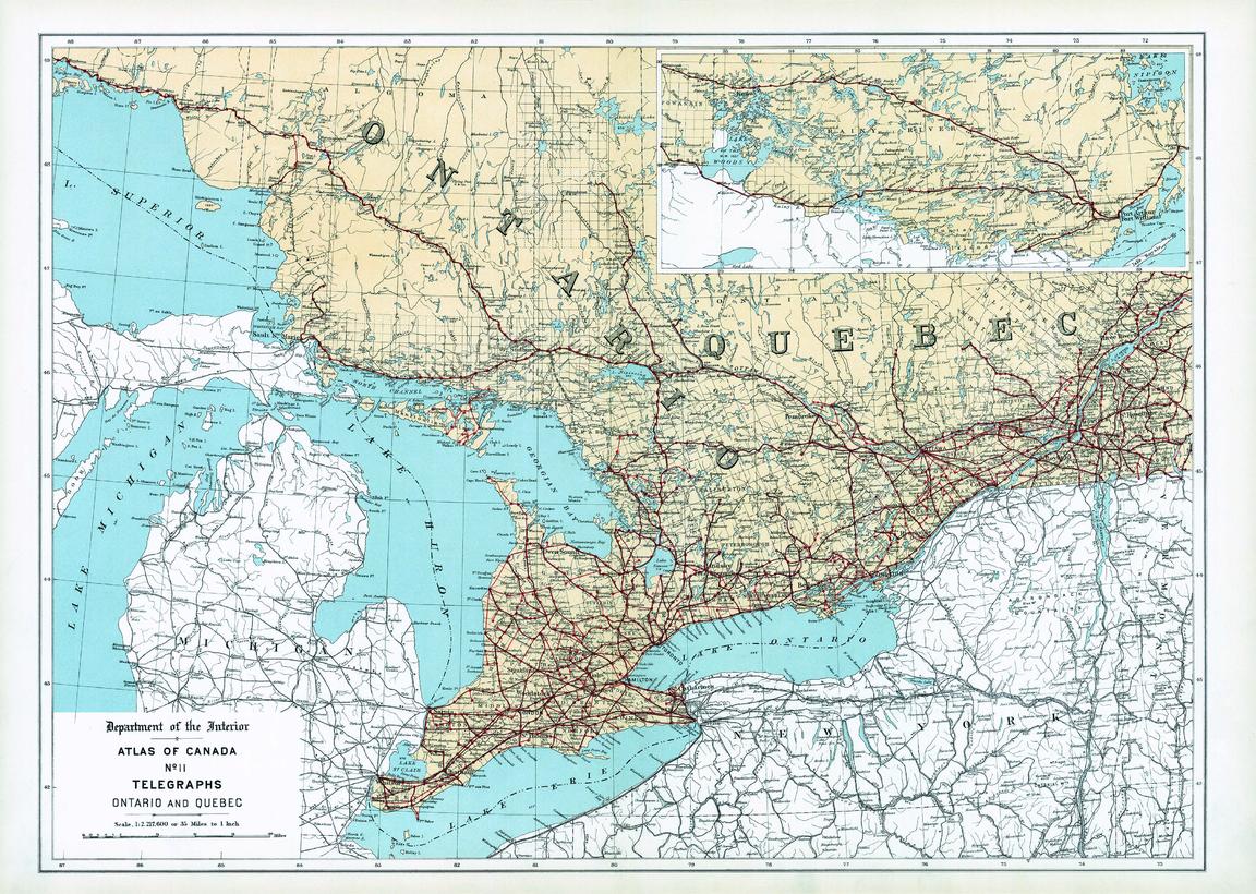
Contained within the 1st Edition (1906) of the Atlas of Canada is a map that shows the telegraph network for Ontario and western Quebec. Two or more lines may follow the same route, but only one line is indicated on the map. Therefore, well-settled portions of the country like Southern Ontario and Southern Quebec may have two or three telegraph lines serving the principal towns along each route indicated. Most telegraph lines follow alongside railway lines. The map indicates the shore portions of the various cable lines. It also includes major cities, counties, rivers, major bodies of water the railway systems.
Page Size: 24.25 x 17.25 in (610 x 434 mm)
Buy this map on MapTrove.ca or MapTrove.com
bottom of page