top of page
Montreal, Toronto (1906)
Natural Resources Canada
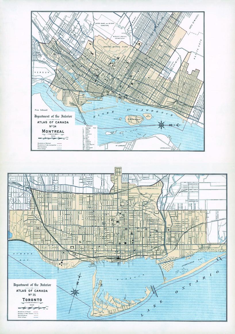
Contained within the 1st Edition (1906) of the Atlas of Canada is plate that has two maps. The first map is of the city of Montreal and the second map is of the city of Toronto. At this time the cities had a population over 25, 000. The map indicates the location of city wards, electric railways, and churches shown with the symbol of a cross.
Page Size: 17.25 x 24.25 in (433 x 614 mm)
Buy this map on MapTrove.ca or MapTrove.com
bottom of page