


National Geographic

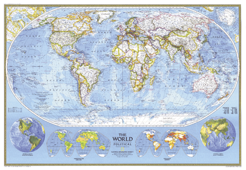
World Political - Published 1994
This political world map continues the long tradition of fine cartography for which National Geographic is known. Published in 1994.
Page Size: 43.25 x 30 in (1093 x 756 mm)
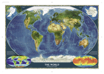
World Satellite
This detailed composite map draws from more that 500 satellite images to give one-kilometer detail and consistent representation of Earth's natural colors and terrain.
Page Size: 46.25 x 33 in (1169 x 836 mm)
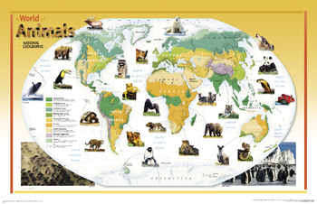
World of Animals - Published 2004
This colorful, educational map for kids features large photographs of animals throughout the world and indicates the areas where they live. The map shows the earth's vegetation zones in beautiful detail.
Page Size: 38.25 x 24.75 in (969 x 627 mm)
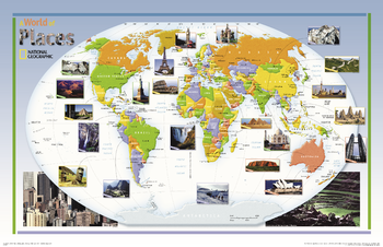
World of Places - Published 2004
This colorful, educational map for kids features large photographs of notable landmarks and places throughout the world.
Page Size: 38.25 x 24.75 in (969 x 627 mm)
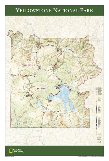
Yellowstone National Park
Wall map of Yellowstone National Park, based on the popular Trails Illustrated map of the park, provides rich topographic detail to show the Wyoming park's magnificent mountains and valleys, as well as updated trail, road and facilities information.
Page Size: 24 x 36 in (610 x 914 mm)
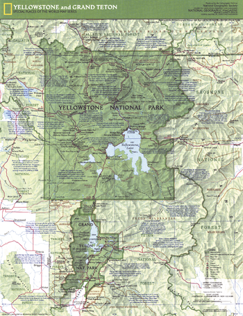
Yellowstone and Grand Teton Side 1 - Published 1989
A year after the great fires of 1988, this map of the Yellowstone and Grand Teton parks features historical and geographical information as well park attractions. Published in February 1989 as half of a two–map presentation on these majestic national treasures.
Page Size: 15.75 x 20.25 in (394 x 512 mm)
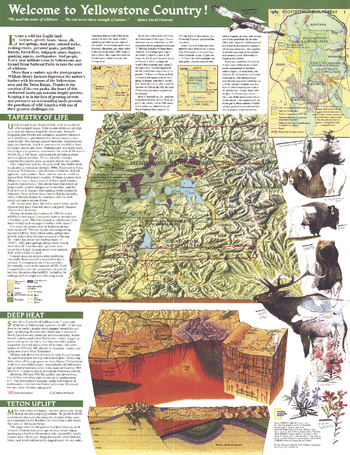
Yellowstone and Grand Teton Side 2 - Published 1989
Published in February 1989 as half of a two-map presentation on the Yellowstone and Grand Teton parks, this educational map features information about the geological features of the region as well as facts about its wildlife. It appeared in the same issue as the article "Yellowstone: The Great Fires of 1988."
Page Size: 15.75 x 20.25 in (394 x 512 mm)
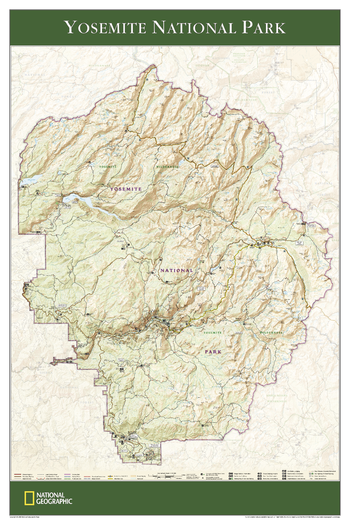
Yosemite National Park - Published 2006
View of the entire Yosemite National Park, based on its popular matching Trails Illustrated map. Rich topographic detail shows the park's magnificent mountains and valleys, as well as trail and road information for the California park, which is the first National Park in the United States and the crown jewel of the Sierra Nevada.
Page Size: 24 x 36 in (610 x 914 mm)
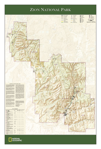
Zion National Park
The wall map of Zion National Park, based on the popular Trails Illustrated map of the park, provides rich topographic detail to show the Utah park's magnificent scenery, as well as updated trail and road information.
Page Size: 24 x 36 in (610 x 914 mm)