


National Geographic

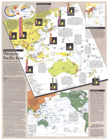
Western Pacific Rim - Published 1989
Published as a supplement to four articles including "Hanoi: The Capital Today" and the Asia-Pacific map in the November 1989 issue of National Geographic, this piece presents an abundance of information on the economic growth and development of the Western Pacific Rim. Discover the exciting changes taking place that are sure to affect the world economy in the decades to come.
Page Size: 19.75 x 25.25 in (497 x 640 mm)
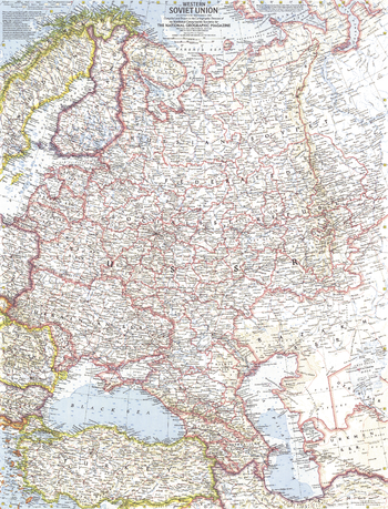
Western Soviet Union - Published 1959
This Cold War era map shows the Western Soviet Union. Three years prior, Soviet military force was used to suppress uprisings in Poland and Hungary. This era also saw the Soviets launch the first artificial satellite into orbit, beginning the space race with the United States. Published in September 1959 with two articles on the region.
Page Size: 19 x 25 in (480 x 630 mm)
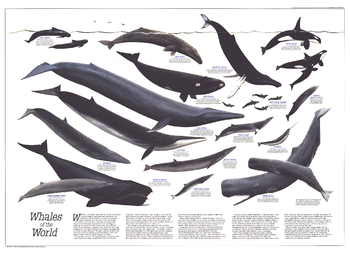
Whales of the World - Published 1976
The Whales of the World poster was printed in December 1976 as a supplement to the Great Whales map. Featuring an overview article about whales, information about each species, and beautiful paintings by Larry Foster, this work is a must-have for anyone enamored of these magnificent giants of the sea.
Page Size: 30 x 21.75 in (760 x 552 mm)
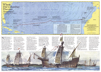
Where Did Columbus Discover America? - Published 1986
The exact site of Christopher Columbus's first landfall in the New World has been a controversial subject since his arrival in The Bahamas in 1492. Watling Island, renamed San Salvador, has been the choice of many scholars. A new theory presented by Luis and Ethel Marden, who tracked the journey presented on this map, points to Samana Cay. Published in National Geographic Magazine in November 1986 with the "Threading the Islands" map and three articles on Columbus.
Page Size: 20.5 x 14.5 in (519 x 368 mm)
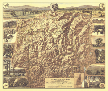
White Mountains of New Hampshire - Published 1937
Appearing in National Geographic Magazine in July 1937, the White Mountains of New Hampshire map highlights the scenic points of interest and outdoor activities to be enjoyed in this lovely region. The map's mountain relief and border of sketches make it a perfect wall-hanging.
Page Size: 20 x 17 in (507 x 429 mm)
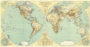
World - Published 1935
A National Geographic classic, this world map is as much a work of art as it is an incomparable reference for its time. In this map, the world's eastern and western hemispheres are show separately to give the viewer a true sense of area across the continents.
Page Size: 43.75 x 23 in (1107 x 579 mm)
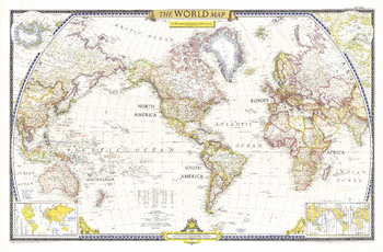
World - Published 1951
The first World Map published by National Geographic following WWII, this classic is a perfect companion to the World Map published in December 1943. The brightness of this map communicates the optimism following WWII, with an inset showing the United Nations, along with a list of the nations who had joined as of December 1951.
Page Size: 42 x 27.75 in (1063 x 699 mm)
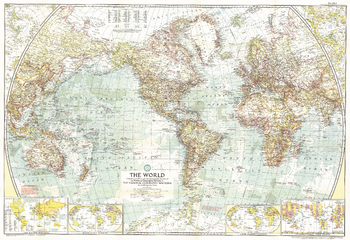
World - Published 1957
This National Geographic classic is a perfect companion to the World Maps published in December 1943 and December 1951. A cartographic masterpiece, this 1955 map combines a clean, light style with tremendous attention to detail--both on land an in the oceans.
Page Size: 42 x 28.75 in (1063 x 728 mm)
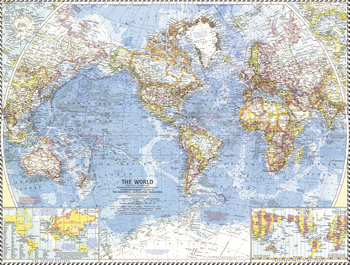
World - Published 1960
The National Geographic 1960 World map was published in the midst of sweeping changes in Africa, as many countries gained their independence. This map shows all the changes that had been made as of September, 1960, when the map went to press. Bright boundaries highlight international borders, and the map features extrordinary detail on land and in the oceans. A perfect map for anyone interested in the changes from colonialism to independent rule in Africa.
Page Size: 25 x 19 in (632 x 478 mm)
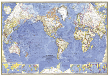
World - Published 1965
This stunning world map contains beautiful colors and the distinct National Geographic cartographic style, as well as detailed ocean bathymetry and information about ocean currents. Published in February 1965 as a companion to the article "Four-Ocean Navy in the Nuclear Age."
Page Size: 42.5 x 29.5 in (1076 x 748 mm)
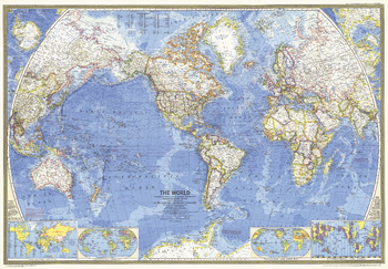
World - Published 1970
A great map is as much a reflection of its time in history as its beautiful craftsmanship. This map presents the world in classic National Geographic style: stunning colors, detailed geographical information, and timely insets. Published in 1970.
Page Size: 42.25 x 29.5 in (1072 x 746 mm)
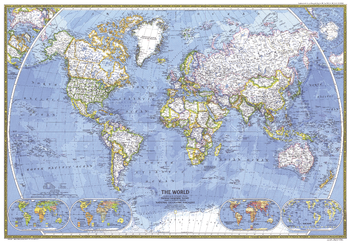
World - Published 1981
This classic World Map beautifully showcases cartograhic excellence and fine attention to detail, using strong colors, detailed geographical information, and informative insets. Published in December 1981.
Page Size: 42.5 x 29.5 in (1074 x 746 mm)
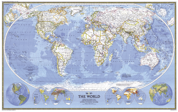
World - Published 1988
This world map combines the classic National Geographic cartographic style with several stunning inset maps to provide a comprehensive look at our planet. Insets include Eastern and Western Hemisphere physical geography, Religions of the World, and Population maps. Published on the National Geographic centennial in December 1988 as a companion to the article "Earth '88: Will We Mend Our Earth?"
Page Size: 46 x 29 in (1166 x 737 mm)
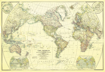
World - Published 1922
This classic world map, published in December of 1922, shows the world's political boundaries established following WWI. This map also shows airplane routes that had been established, as well as railroad routes.
Page Size: 41.5 x 28.5 in (1054 x 718 mm)
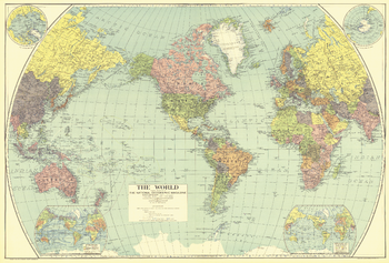
World - Published 1932
Vintage National Geographic colors and spectacular detail accentuate this beautiful world map, first published in National Geographic Magazine in December of 1932, accompanying an article entitled, "The Story of the Map."
Page Size: 38.25 x 26 in (970 x 656 mm)
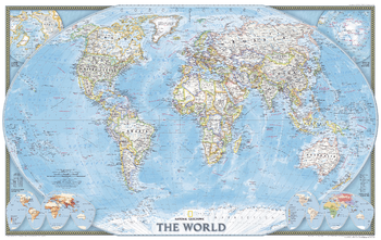
World - Published 2004
Published in November 2004, this political map of the world will look handsome framed and mounted on any wall. Inset maps of the polar regions as well as language families and population density make this map as informative as it is attractive. This map was originally printed as half of a two-map set with "Earth at Night."
Page Size: 35.25 x 22.25 in (890 x 562 mm)
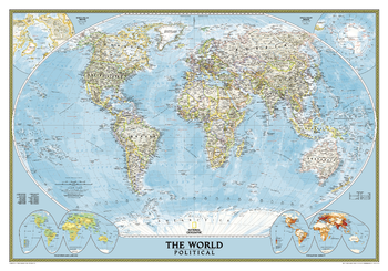
World Classic
National Geographic's Classic World Map features the Winkel Tripel projection to reduce distortion of land masses as they near the poles. This creates the most visually accurate representation of Earth's land-masses, versus other projections. The Classic series includes blue oceans, easy-to-read colorful boundaries, and National Geographic's proprietary fonts. Up-to-date and very detailed, with thousands of named places such as countries, oceans, major cities, geographic features. Subtle, easy-to-read border coloring on land. Prevailing winds and ocean currents at sea. Separate insets show the North and South Polar Regions, world vegetation and land use, and world population density.
Page Size: 43.75 x 30.5 in (1106 x 773 mm)
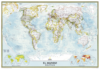
World Classic Spanish - Published 2005
National Geographic's Classic World Map translated to Spanish features the Winkel Tripel projection to reduce distortion of land masses as they near the poles. This creates the most visually accurate representation of Earth's land-masses, versus other projections. The Classic series includes blue oceans, easy-to-read colorful boundaries, and National Geographic's proprietary fonts. Up-to-date and very detailed, with thousands of named places such as countries, oceans, major cities, geographic features. Subtle, easy-to-read border coloring on land. Prevailing winds and ocean currents at sea. Separate insets show the North and South Polar Regions, world vegetation and land use, and world population density.
Page Size: 39.25 x 27 in (991 x 684 mm)
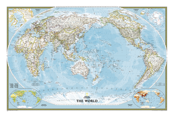
World Classic, Pacific Centered
This unique view employs a new map projection to accentuate the Pacific Rim, and shows Oceania and Asia in close proportion to their actual size on the Earth. It brings Oceania and Asia into the center of the picture, while dramatically showing the entire breadth of the Pacific Ocean. The Pacific-centered world map features classic National Geographic cartography, with political boundaries, thousands of place names, time zones, and special insets showing world vegetation and land use, and population density.
Page Size: 46 x 30.75 in (1168 x 776 mm)
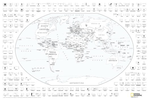
World Coloring Map with Flags
Map of the world suitable for coloring. Oceans and major water bodies shown in blue.
Page Size: 36 x 24 in (914 x 610 mm)