


National Geographic

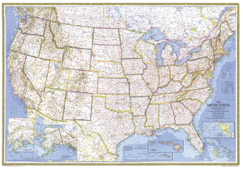
United States - Published 1976
This stunning United States map uses the classic National Geographic colors and style. Published in July 1976 as an update to the February 1968 US map.
Page Size: 42.5 x 29.5 in (1080 x 748 mm)
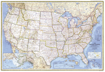
United States - Published 1987
This stunning United States map uses the classic National Geographic colors and style. Published in September 1987 as an update to the September 1982 US map.
Page Size: 42.5 x 29.25 in (1078 x 742 mm)
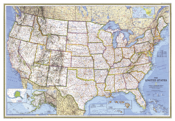
United States - Published 1993
This stunning United States map uses the classic National Geographic colors and style. Published in September 1993 as an update to the September 1987 US map.
Page Size: 43.25 x 30 in (1098 x 758 mm)
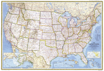
United States - Published 1982
This stunning United States map uses the classic National Geographic colors and style. Published in September 1982 as an update to the July 1976 US map.
Page Size: 42.5 x 29.25 in (1078 x 739 mm)
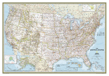
United States Classic
Our most popular United States wall map. Features all 50 States with insets for Alaska and Hawaii. All major cities, transportation routes, State boundaries, National Parks, inland waterways, and mountain ranges are clearly displayed and labeled.
Page Size: 43.75 x 30.5 in (1106 x 773 mm)
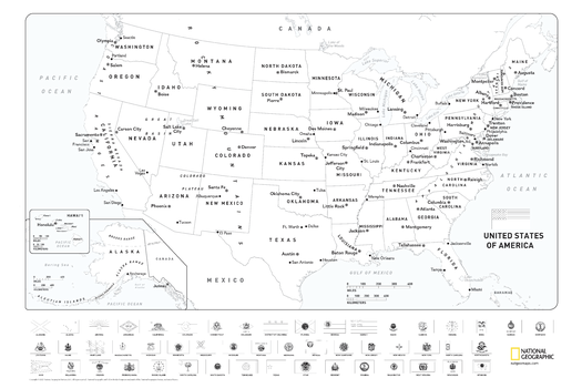
United States Coloring Map with Flags
Map of the United States suitable for coloring. Oceans and major water bodies shown in blue.
Page Size: 36 x 24 in (914 x 610 mm)
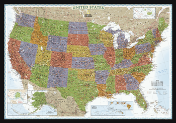
United States Decorator
This brightly colored US map is designed for easy identification of each state with rich, attractive color fills that bring any room or classroom to life. The map clearly highlights the differences in the urban and physical geography of each state, and national parks are outlined with eye-catching green vignettes.
Page Size: 43.75 x 30.5 in (1106 x 773 mm)
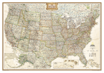
United States Executive
Features all 50 States with insets for Alaska and Hawaii in antique-executive cartographic style. All major cities, transportation routes, state boundaries, National Parks, lakes and rivers, and mountain ranges are clearly displayed and labeled.
Page Size: 43.75 x 30.5 in (1106 x 773 mm)
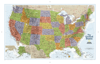
United States Explorer
This colorful USA political map clearly shows state boundaries, capitals, major highways, rivers, lakes, and many major cities. Insets show detail of Alaska and Hawaii.
Page Size: 33.75 x 21.75 in (853 x 551 mm)
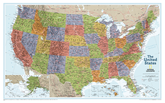
United States Explorer – Compact
The United States Explorer map is a classic example of the cartographic excellence National Geographic is known for. This colorful political map clearly shows state boundaries, capitals, major highways, rivers, lakes, and many major cities. Insets show detail of Alaska and Hawaii. The color palette is vibrant and stunning shaded relief provides additional texture and detail.
Page Size: 25.5 x 16 in (646 x 406 mm)
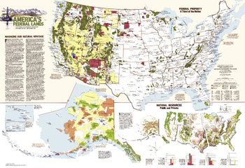
United States Federal Lands - Published 1982
A third of the United States, nearly 740 million acres, remains in federal hands and there is constant debate over how to manage them. This map features an abundance of information about federal land use and resources. Published in September 1982 as a companion to the "United States" map and the article "Our National Forests: Problems in Paradise."
Page Size: 42.5 x 29.25 in (1078 x 739 mm)
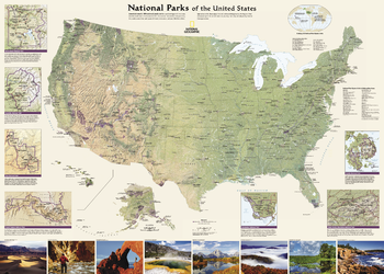
United States National Parks
National Geographic's wall map of National Parks of the United States highlights the nearly 400 magnificent parks across America. The country is represented in subtle earth-tones with shaded mountain relief and intricately drawn river systems. Photos capture some of the diverse landscapes preserved and protected by the national park system.<br><br>Separate inset maps provide detail and descriptions of seven of the parks: Yellowstone, Yosemite, Acadia, Grand Canyon, Great Smoky Mountains, Everglades, and Zion. Parks located in U.S. territories are included on an inset world map.<br><br>Includes insets of the Yellowstone, Yosemite, Acadia, Grand Canyon, Great Smoky Mountains, Everglades, and Zion National Parks, an inset world map showing outlying U.S. National Parks, a list of parks near metropolitan areas.<br><br>Popular Places Included on the Map include Yellowstone, Yosemite, Denali, Joshua Tree, Acadia, Grand Canyon, Great Smoky Mountains, Hawai'i Volcanoes, Everglades, Zion, Mount Rushmore, Great Sand Dune, and Rocky Mountain national parks.
Page Size: 42 x 30 in (1067 x 762 mm)
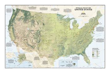
United States Physical
See the magnificence of the US landscape with the US Physical map. The map depicts the great variety of natural vegetation from tundra in Alaska to desert in Arizona. Notes describe the major physical regions - from the Coastal Plain in the east to the Pacific Coast Mountains in the west, and beautiful hand-painted relief reveals topography and major features to create a visually stunning reference map.
Page Size: 38.5 x 25.25 in (974 x 641 mm)
United States Physical - Atlas of the World, 10th Edition
null
Page Size: 28 x 22 in (711 x 559 mm)
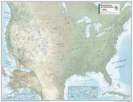
United States Physical - Atlas of the World, 11th Edition
This American map of physical features can fit in any space. Showcasing the continent in stunning detail with state-of-the-art cartographic techniques delivering accuracy and exceptional quality, the innovative and engaging design makes the content easily accessible and user-friendly.
Ideal for classrooms with an emphasis on teaching geography or environmental themes. Physical wall maps give your students a genuine feel for how our world appears. This map is perfect to help students develop navigation skills using latitude and longitude and to identify key physical features.
This map of America uses a bright, easy to read color palette featuring blue oceans and stunning shaded relief that has been featured on National Geographic wall maps for over 75 years. Drawn in the Albers Conic Equal-Area projection, tihis map uses two standard parallels between which distortion is minimized.
Names of geographic features are carefully placed on the map to maintain legibility. Inset maps feature Hawai'i and Alaska.
This map is found in National Geographic's 11th Edition World Atlas and is now available as a stand alone product.
Page Size: 31.5 x 24 in (798 x 610 mm)
United States Physical - Atlas of the World, 11th Edition - Compact
This American map of physical features can fit in any space. Showcasing the continent in stunning detail with state-of-the-art cartographic techniques delivering accuracy and exceptional quality, the innovative and engaging design makes the content easily accessible and user-friendly.
Ideal for classrooms with an emphasis on teaching geography or environmental themes. Physical wall maps give your students a genuine feel for how our world appears. This map is perfect to help students develop navigation skills using latitude and longitude and to identify key physical features.
This map of America uses a bright, easy to read color palette featuring blue oceans and stunning shaded relief that has been featured on National Geographic wall maps for over 75 years. Drawn in the Albers Conic Equal-Area projection, this map uses two standard parallels between which distortion is minimized.
Names of geographic features are carefully placed on the map to maintain legibility. Inset maps feature Hawai'i and Alaska.
This map is found in National Geographic's 11th Edition World Atlas and is now available as a stand alone product.
Page Size: 21.5 x 16.25 in (540 x 413 mm)
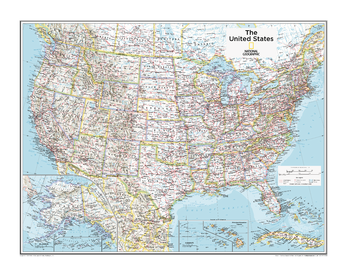
United States Political - Atlas of the World, 10th Edition
null
Page Size: 28 x 22 in (711 x 559 mm)
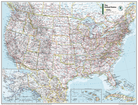
United States Political - Atlas of the World, 11th Edition
This American map of political features can fit in any space. Showcasing the continent in stunning detail with state-of-the-art cartographic techniques delivering accuracy and exceptional quality, the innovative and engaging design makes the content easily accessible and user-friendly.
Ideal for classrooms with an emphasis on teaching geography or environmental themes. The inclusion of physical features give your students a genuine feel for how our world appears.
This map of America uses a bright, easy to read color palette featuring blue oceans and stunning shaded relief that has been featured on National Geographic wall maps for over 75 years. Insets of Hawai'i and Alaska are included. This map is drawn in the Albers Conic Equal-Area projection, which uses two standard parallels between which distortion is minimized, however scale and shape is not preserved.
Names of geographic features are carefully placed on the map to maintain legibility.
This map is found in National Geographic's 11th Edition World Atlas and is now available as a stand alone product.
Page Size: 31.5 x 24 in (798 x 610 mm)
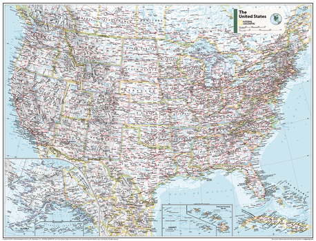
United States Political - Atlas of the World, 11th Edition - Compact
This American map of political features can fit in any space. Showcasing the continent in stunning detail with state-of-the-art cartographic techniques delivering accuracy and exceptional quality, the innovative and engaging design makes the content easily accessible and user-friendly.
Ideal for classrooms with an emphasis on teaching geography or environmental themes. The inclusion of physical features give your students a genuine feel for how our world appears.
This map of America uses a bright, easy to read color palette featuring blue oceans and stunning shaded relief that has been featured on National Geographic wall maps for over 75 years. Insets of Hawai'i and Alaska are included. This map is drawn in the Albers Conic Equal-Area projection, which uses two standard parallels between which distortion is minimized, however scale and shape is not preserved.
Names of geographic features are carefully placed on the map to maintain legibility.
This map is found in National Geographic's 11th Edition World Atlas and is now available as a stand alone product.
Page Size: 21.5 x 16.25 in (540 x 413 mm)
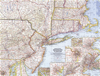
United States Washington to Boston - Published 1962
This map includes a collection of detailed insets of the cities of Washington, Boston, Baltimore, Philadelphia, and New York. Published in August 1962 with two articles, "The Old Boston Post Roads" and "The Post Road Today."
Page Size: 25 x 19 in (631 x 480 mm)