


National Geographic

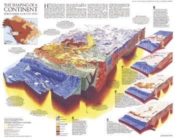
The Shaping of a Continent - Published 1985
Half of a two-map set, the "Shaping of a Continent: North America's Active West" map features detail of the one of the most active tectonic areas in the world. Published in August 1985, this map accompanied the "Earth's Dynamic Crust" map and the article "Our Restless Planet Earth."
Page Size: 22.75 x 18 in (575 x 454 mm)
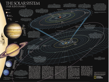
The Solar System: 2 sided
The Solar System, Our Sun's Family has two sides. The first side includes a description of how our solar system was formed, and shows a map of our solar system, with each planet's orbit in relation to the Sun and to the other planets. Interesting facts and figures accompany each planet's description. Side two is a stunning poster that shows images of each planet.
Page Size: 24.5 x 18.5 in (622 x 470 mm)
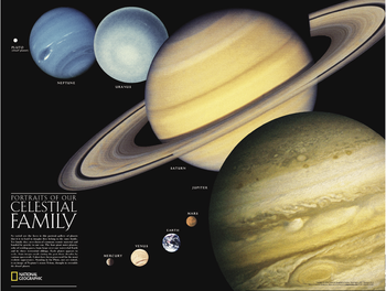
The Solar System: 2 sided
The Solar System, Our Sun's Family has two sides. The first side includes a description of how our solar system was formed, and shows a map of our solar system, with each planet's orbit in relation to the Sun and to the other planets. Interesting facts and figures accompany each planet's description. Side two is a stunning poster that shows images of each planet.
Page Size: 24.5 x 18.5 in (622 x 470 mm)
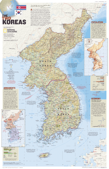
The Two Koreas - Published 2003
Korea was divided in 1948 following World War II, but war erupted again in 1950 when North Korea invaded South Korea. Decades later, old tensions still exist across the fragile Demilitarized Zone that separates the communist north from the democratic south. This attractive political map contains information about the population, economy, and armaments of the two countries. Published in July 2003 as half of a two–map set with "The Forgotten War: Three Long Years in Korea."
Page Size: 20.25 x 31.25 in (510 x 790 mm)
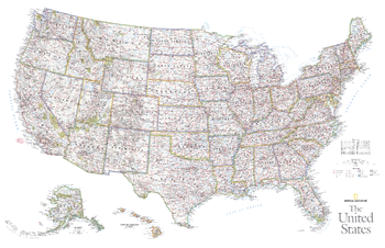
The United States - Published 2006
This vibrant political map of the United States was published in October 2006 as half of a two–map set with a physical map of the country. Features state boundaries, cities, highways, airports, and national parks.
Page Size: 37.25 x 24 in (946 x 610 mm)
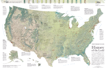
The United States, History of the Land - Published 2006
Viewed in one sweep on a topographical map, the United States seems roughly divided into a jagged mountainous West, a central rolling prairie, and an East both muscled by the Appalachians and soothed by the Coastal Plain. Grand forces of tectonic shifts, glaciation, and lava flows shaped those broad stages. This detailed physical map of the United States depicts the wide range of land cover including forests, grasslands, row crops, bare ground, wetlands and more. Published in October 2006 as half of a two–map set with a political map of the United States.
Page Size: 37.25 x 24 in (945 x 609 mm)
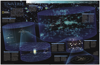
The Universe
As far as we can see with our ever-improving telescopes, there are at least a hundred billion galaxies arrayed throughout the universe. Each, like the Milky Way, is an island universe containing billions of stars. This map uses graphic leaps of scales to show how our solar system fits within the vastness of the universe. The map also includes a universe timeline and a description of its evolution.
Page Size: 32 x 21 in (809 x 529 mm)
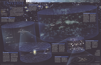
The Universe - Published 1999
Published in October 1999, this fascinating poster contains five maps of our solar system and beyond including: the solar system, our sun's neighborhood, our galactic realm, our local group, and our supercluster. Half of a two-map set in the "Millennium In Maps" series, its companion map entitled "The Milky Way" is also available. Together, the two maps present a striking portrait of the universe as we know it and a hint at what might lie beyond.
Page Size: 31.25 x 20.25 in (793 x 511 mm)
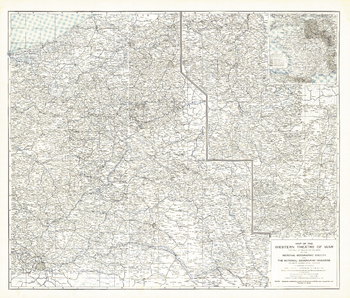
The Western Theatre of War - Published 1918
Printed in May 1918 a short time before the end of World War I, this map shows the western theatre of war in France and Belgium. Details of battle lines make this map a unique and compelling historical piece perfect for collectors.
Page Size: 33 x 28 in (834 x 711 mm)
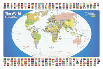
The World for Kids
<p>National Geographic’s The World for Kids wall map is an enticing and engaging world map perfect for classroom, home or library. Recommended by geography educators for ages 7 – 12, this map features an optimized map design for readability and easy, intuitive learning. All 195 independent countries and their official, colorful flags are represented and arranged in alphabetical order for ease-of-use. Expertly researched, The World for Kids map is an essential reference tool for today’s interesting geographical world. All proceeds from the purchase of a National Geographic map help support the Society’s vital exploration, conservation, scientific research, and education programs.</p>
Page Size: 36.25 x 24.25 in (917 x 612 mm)
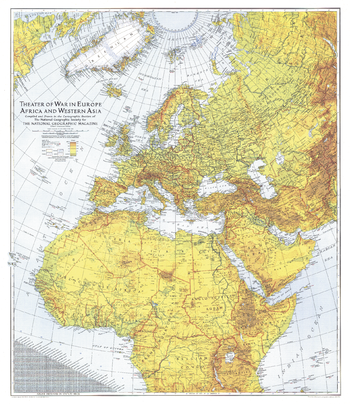
Theater of War in Europe, Africa and Western Asia - Published 1942
Published in July 1942 with the article "Western Front Map Embraces Three Continents," this extraordinary work is a must-have for World War II buffs. A striking piece, both visually, with its colorful relief shading, and historically.
Page Size: 26.75 x 31 in (677 x 782 mm)
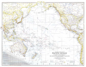
Theater of War in the Pacific Ocean - Published 1942
An exceptional historical piece, this map was published in February 1942 with an article entitled "Facts about the Philippines." Time zones, ship routes, and naval bases, make this a valuable map for collectors and those interested in World War II.
Page Size: 26.75 x 21 in (678 x 529 mm)
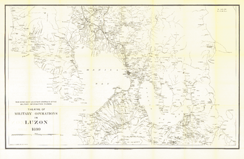
Theatre of Military Operations in Luzon - Published 1899
This black and white historical map illustrates the Theatre of Military Operations in Luzon during the Spanish-American War. Published in June 1899, this is a unique piece for collectors and those interested in the history of the Philippines.
Page Size: 39.75 x 26 in (1005 x 655 mm)
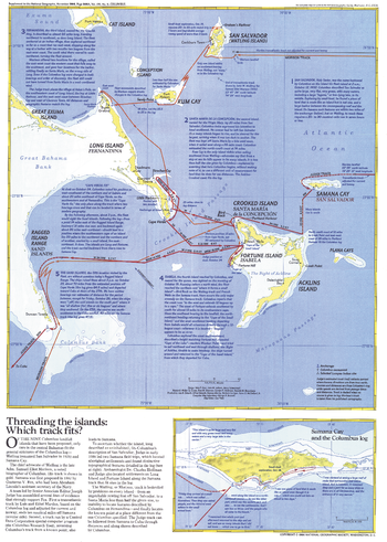
Threading the Islands - Published 1986
The "Threading the Islands" map explores two possible routes of Columbus's journey and possible landing sites. The Morisson track asserts that the explorer landed on San Salvador, while the Judge track favors Samana Cay. This map was printed in November 1986 to accompany three articles on Columbus and the "Where Did Columbus Discover America?" map. A fascinating new look at a centuries-old question.
Page Size: 14.75 x 20.5 in (370 x 518 mm)
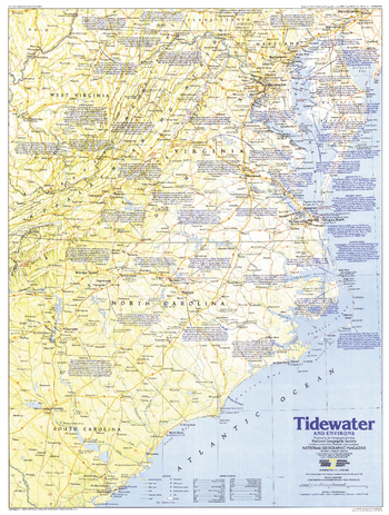
Tidewater and Environs - Published 1988
This map of the United States region of the Carolinas, Virginia, and neighboring states contains an abundance of historical sites and notes. Published in June 1988 as half of a two–map set in the "Making of America" series.
Page Size: 20.5 x 27 in (517 x 684 mm)
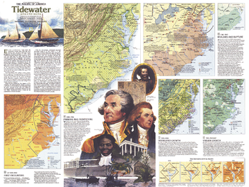
Tidewater and Environs Theme - Published 1988
An area teeming with activity since the English settlement of Jamestown, the Tidewater region includes the Carolinas, Virginia, Maryland, Delaware, and the District of Columbia. The Tidewater and Environs map, published in June 1988, provides a wealth of historical information about this vital maritime region. Part of the "Making of America" series, this map represents Side Two in a two-piece set.
Page Size: 27.25 x 20.5 in (686 x 515 mm)
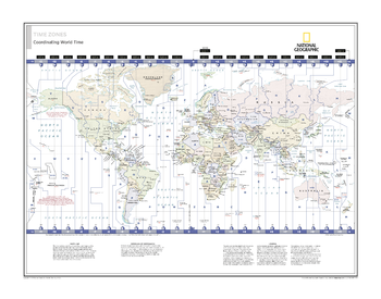
Time Zones: Coordinating World Time - Atlas of the World, 10th Edition
null
Page Size: 28 x 22 in (711 x 559 mm)
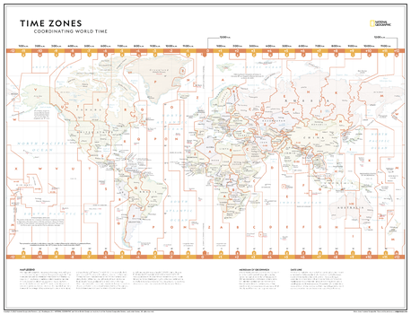
Time Zones: Coordinating World Time - Atlas of the World, 11th Edition
Hang a unique map on your wall! This time zones map is featured in the National Geographic Atlas of the World 11th Edition. This map, depicting the boundaries of the 24 time zones, is perfect for classroom learning as it provides key information on the Meridian of Greenwich, the International Date Line and more. For businesses, use this to showcase where your customers, suppliers and offices are located around the world.
The Time Zones: Coordinating World Time map provides a minimalist geographic view of national and regional boundaries, depicting current political realities across all continents. It uses muted pastel colours to differentiate between nations, and key major cities are clearly displayed. All time zones and their corresponding time deviation are clearly delineated with bold lines spanning from the north to south regions.
This map is found in National Geographic's 11th Edition World Atlas, and is now available as a stand alone product.
Page Size: 31.5 x 24 in (798 x 610 mm)
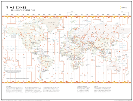
Time Zones: Coordinating World Time - Atlas of the World, 11th Edition - Compact
Hang a unique map on your wall! This time zones map is featured in the National Geographic Atlas of the World 11th Edition. This map, depicting the boundaries of the 24 time zones, is perfect for classroom learning as it provides key information on the Meridian of Greenwich, the International Date Line and more. For businesses, use this to showcase where your customers, suppliers and offices are located around the world.
The Time Zones: Coordinating World Time map provides a minimalist geographic view of national and regional boundaries, depicting current political realities across all continents. It uses muted pastel colours to differentiate between nations, and key major cities are clearly displayed. All time zones and their corresponding time deviation are clearly delineated with bold lines spanning from the north to south regions.
This map is found in National Geographic's 11th Edition World Atlas, and is now available as a stand alone product.
Page Size: 21.5 x 16.25 in (540 x 413 mm)
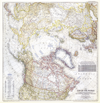
Top of the World - Published 1949
In the October 1949 issue of National Geographic, there were five articles related to polar exploration. The Top of the World map, first published in October of 1949, offers a truly unique view that features the Arctic Polar Region at its center. This beautiful map is both a cartographic masterpiece and a fresh look at the world.
Page Size: 28.5 x 29.5 in (721 x 746 mm)