


National Geographic

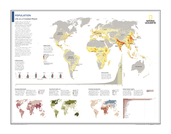
Population: Life on a Crowded Planet - Atlas of the World, 10th Edition
Mapping Density; Profiling Population; Booming Growth; Measuring National Density; Accounting for Arable Land; Projecting Future Population; Ranking Populous Countries
Page Size: 28 x 22 in (711 x 559 mm)
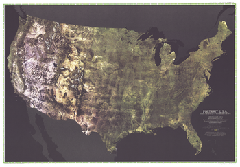
Portrait USA - Published 1976
The first color satellite photomosaic of the 48 contiguous United States, this landmark map was published in July of 1976. The near-true color imagery creates a portrait of the patchwork quilt of the entire country. Trace the Mississippi river from its source to the Gulf of Mexico. See the deserts of New Mexico, Arizona, and California. Follow the Rocky Mountains through the western states. A cartographic benchmark, this map laid the groundwork for the many that have followed.
Page Size: 42.5 x 29.5 in (1080 x 748 mm)
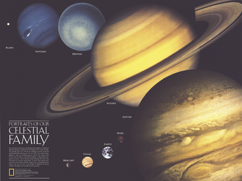
Portraits of Our Celestial Family - Published 1990
A beautiful companion to the Solar System map that appeared in the same issue, this compelling work illustrates the varied faces of the planets in our solar system. Published in August 1990 with two articles, "Neptune: Voyager's Last Picture Show" and "Voyage of the Century," this work shows the planets scaled to relative size, their portraits made from actual images taken from various spacecraft.
Page Size: 24.25 x 18.25 in (613 x 459 mm)
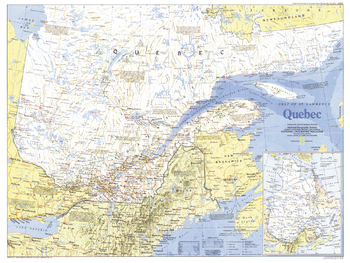
Quebec - Published 1991
Quebec has evolved from it's earliest days as a web of fur trading routes to a powerful manufacturing province, thanks to its access to the St. Lawrence River. The French heritage and culture of the region has remained despite attempts at assimilation, making it unique among Canada's provinces. Published in March 1991 as half of a two–map set with "The Making of Canada: Quebec.".
Page Size: 27.25 x 20.5 in (690 x 518 mm)
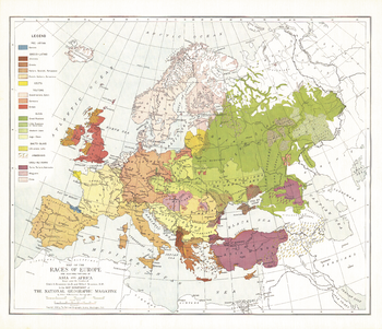
Races of Europe - Published 1918
Published in December 1918 at the close of World War I, this map of the ethnic groups of Europe attempted to show the distributions and relationships of various peoples who inhabited the diverse continent. An article of the same name was printed in the same issue.
Page Size: 25.5 x 22 in (644 x 553 mm)
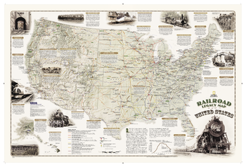
Railroad Legacy Map of the United States
National Geographic's new Railroad Legacy Map of the United States illustrates the many ways railroads have impacted the nation and shaped people's daily lives. From the creation of time zones still used today to the contributions to the country's economic and industrial development, America's railroad legacy is interwoven with the growth of the United States in the 19th and 20th centuries and of the century to come.<br><br>The map portrays the routes of today's seven Class 1 (major) railroads, Amtrak's passenger routes, as well as those of the more than one hundred Class 1 railroads that ran in 1920 when five percent of the nation's work force—more than 2 million people—were employed by these lines. The map also highlights present-day and 1920 rail hubs along with text and illustrations of key events in America's railroad history such as the opening of New York City's Grand Central Terminal in 1913 and the last Class I line to employ steam locomotives in 1960. Notable sites such as tunnels, train spotting locations, and railroad museums are also included on this map.<br><br>The map is measures 24"x36" — suitable for framing.
Page Size: 37.75 x 25.75 in (955 x 650 mm)
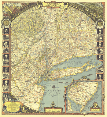
Reaches of New York City - Published 1939
The "Reaches of New York City" map appeared in the April 1939 issue of National Geographic Magazine with an article about Long Island. With its border illustrations of famous people and sites and its artful cartography, this work is perfect for framing.
Page Size: 26.25 x 28.75 in (664 x 728 mm)
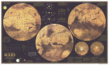
Red Planet Mars - Published 1973
Explore the Red Planet in striking detail with this educational map published in February 1973. This map was half of a two-part piece, appearing with a complete index map entitled "The Dusty Face of Mars" and two additional articles on Mars: "Journey to Mars" and "The Search for Life on Mars." Featuring detailed illustrations of Mars from different angles, this map also contains an abundance of illustrations and information about the planet's physical attributes including atmosphere, surface color, magnetic field, winds, and temperature.
Page Size: 38 x 23 in (962 x 580 mm)
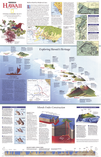
Rediscovering Hawaii - Published 1995
Discover the fascinating islands of Hawaii with this informative map which includes facts about the formation and history of the islands, as well as information about its ethnic and cultural diversity. Published in September 1995 as a companion map for the map of Hawaii printed in the same issue, this work also accompanied the article "On the Brink: Hawaii's Vanishing Species."
Page Size: 20.25 x 31.25 in (513 x 792 mm)
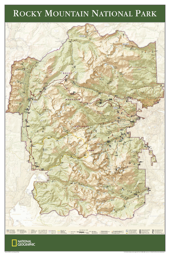
Rocky Mountain National Park - Published 2005
View of the entire Rocky Mountain National Park, based on its popular matching Trails Illustrated map. Rich topographic detail shows the park's magnificent mountains and valleys, as well as trail and road information.
Page Size: 24.25 x 36.25 in (610 x 915 mm)
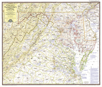
Round About the Nation's Capital - Published 1956
This map of Washington D.C. and its surrounds is chock full of descriptive notes about the region, including its history, geographical features, places of interest, and other fascinating facts. Includes Maryland, Virginia, and Delaware, and parts of Pennsylvania, West Virginia, and New Jersey. Published in April 1956.
Page Size: 34 x 29 in (862 x 733 mm)
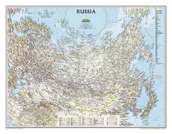
Russia Classic
Our classic political map of Russia and the independent states of the former Soviet Union shows thousands of place names, roadways, political boundaries, bodies of water, airports, and many other geographic details of this vast nation and its neighbors.
Page Size: 30.5 x 23.75 in (770 x 600 mm)
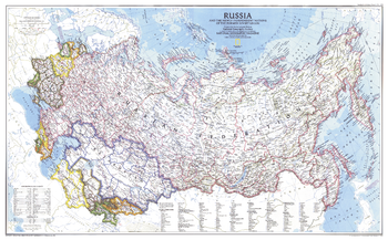
Russia and the Newly Independent Nations of the Former Soviet Union - Published 1993
This attractive map of Russia highlights the new landscape of nations that emerged in Europe and Asia following the end of the Cold War and the dissolution of the Soviet Union. Published in March 1993 as half of a two–map set with "Communism to Capitalism."
Page Size: 35.75 x 22.25 in (903 x 560 mm)
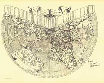
Ruysch 1508 Map - Published 1893
One of the first maps of the new world, Johannes Ruysch made this map, using a polar projection, which includes an extensive view of South America, islands of the West Indies, and a portion of North America. The World Map from Ruysch appeared for the first time among the Tabulae Novae in some copies of the 1507 Rome edition of Ptolemy's Geography. Ruysch's map illustrates a number of significant geographic features more correctly than before, especially along the easterly sea route to the Orient which was of prime importance to early sixteenth-century Europeans. An incredible historical piece.
Page Size: 23 x 18.5 in (581 x 464 mm)
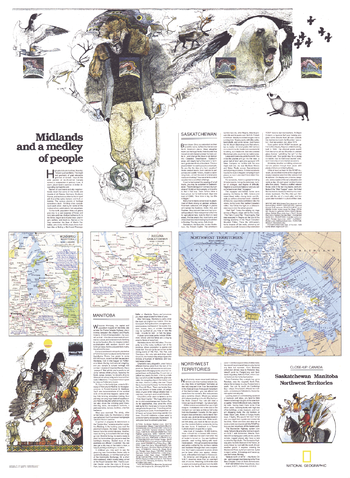
Saskatchewan and Manitoba - Published 1979
Published in May 1979 as half of a two-map set showcasing Canada's midland provinces, the "Saskatchewan, Manitoba, Northwest Territories: Midlands and a Medley of People" map provides a remarkable amount of tourist information about this diverse region. Whether it's fishing and canoeing in the region's countless lakes or attending festivals like Manitoba's Folklorama, these provinces have plenty of interesting activities to keep you busy.
Page Size: 22.75 x 31 in (574 x 783 mm)
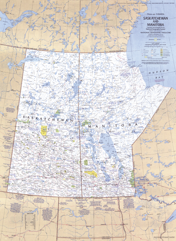
Saskatchewan and Manitoba Canada - Published 1979
This travel map of the Canadian provinces of Saskatchewan and Manitoba shows hundreds of national parks, wilderness areas, campgrounds, and ski resorts. It also highlights points of interest in cities such as Winnipeg and Regina. Published in May 1979.
Page Size: 22.75 x 31 in (574 x 783 mm)

Saturn - Published 1981
This image of Saturn, taken from Voyager 1's closest encounter with the ringed planet, was published in the July 1981 issue of National Geographic. It appeared with a map of the solar system and the article "Voyager 1 at Saturn: Riddles of the Rings."
Page Size: 22.5 x 17 in (569 x 429 mm)
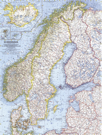
Scandinavia - Published 1963
This detailed look at Scandinavia includes subtle relief, ocean bathymetry as well as various transportation routes including ferries. Published in April 1963 with the article "Sweden, Quiet Workshop of the World."
Page Size: 19 x 25 in (480 x 631 mm)
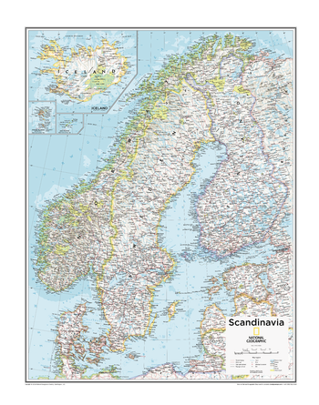
Scandinavia - Atlas of the World, 10th Edition
Estonia, Faroe Is. (Den.), Finland, Iceland, Latvia, Lithuania, Norway, Sweden
Page Size: 22 x 28 in (559 x 711 mm)
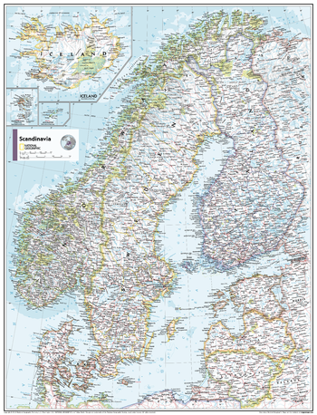
Scandinavia - Atlas of the World, 11th Edition
This Scandinavia map of physical and political features can fit in any space. Showcasing the countries in stunning detail with state-of-the-art cartographic techniques delivering accuracy and exceptional quality, the innovative and engaging design makes the content easily accessible and user-friendly.
Ideal for classrooms with an emphasis on teaching geography or environmental themes. The inclusion of physical features gives your students a genuine feel for how our world appears.
This map uses a bright, easy to read color palette featuring blue oceans and stunning shaded relief that has been featured on National Geographic wall maps for over 75 years. It is drawn in Conic projection, in which an area of the earth is projected onto a cone whose vertex is usually above one of the poles, then unrolled onto a flat surface.
Names of geographic features are carefully placed on the map to maintain legibility. Insets of Iceland, the Faroe Islands and Jan Mayen Islands add to this classic map.
This map is found in National Geographic's 11th Edition World Atlas and is now available as a stand alone product.
Page Size: 24 x 31.5 in (610 x 798 mm)