


National Geographic

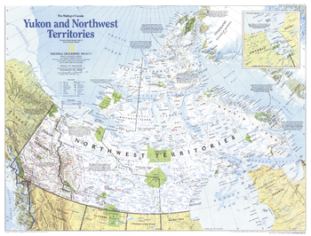
Making of Canada, Yukon and Northwest Territories - Published 1997
This map of Canada's Yukon and Northwest Territories (Nunavut) highlights the region's historical events, as well as its abundant national and territorial parks and wildlife areas. Published in September 1997 as part of the "Making of Canada" series.
Page Size: 27 x 20.5 in (683 x 519 mm)
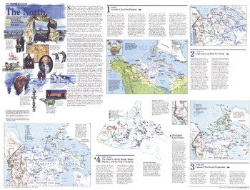
Making of Canada, the North - Published 1997
Explore the northernmost reaches of Canada with this educational map of The North. Published in September 1997 as part of the "Making of Canada" series, this map is a companion to the map of the Yukon and Northwest Territories printed in the same issue. Particular attention is paid to the history of the region's first inhabitants and the formation of the new province of Nunavut.
Page Size: 27 x 20.5 in (683 x 520 mm)
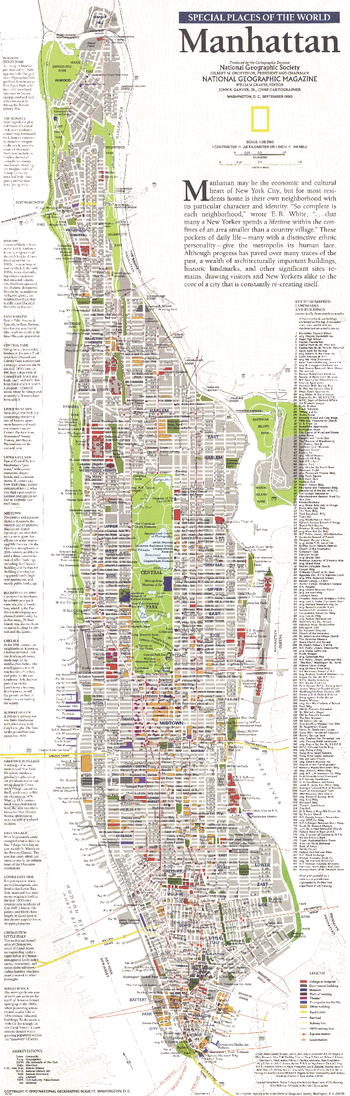
Manhattan - Published 1990
This map of Manhattan focuses attention on the borough's neighborhoods, particularly their character and points of interest. Published in September 1990 as part of the "Special Places of the World" series and a companion to three articles focused on New York City.
Page Size: 10 x 31.25 in (253 x 791 mm)
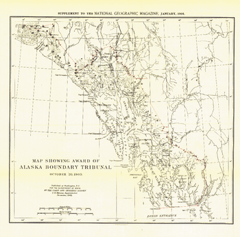
Map Showing Award of Alaska Boundary Tribunal of 1896 - Published 1904
The "Map Showing Award of Alaska Boundary Tribunal, October 2, 1896" was drawn on October 20, 1903 and appeared in National Geographic Magazine in January 1904 with an article on the Alaska Boundary Tribunal. The boundary separating the Alaskan Panhandle from British Columbia had been in dispute for many years. A decision was finally reached in 1903 by a tribunal of U.S., Canadian, and British officials.
Page Size: 13.5 x 13.25 in (340 x 335 mm)
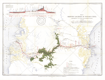
Map Showing Location of Panama Canal 1899-1902 - Published 1905
The "Map Showing Location of Panama Canal, as Recommended by the Isthmian Canal Commission of 1899-1902" is a unique historical piece published in October 1905 with three articles on canals. One of the largest engineering projects ever undertaken, the famed canal linking the Atlantic and Pacific oceans was completed in 1914. This map makes a fine companion for the "Birds-eye View of the Panama Canal" map printed in 1912.
Page Size: 34.5 x 26.5 in (875 x 667 mm)
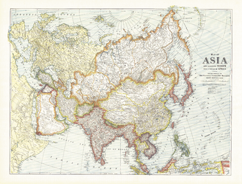
Map of Asia with Europe and a portion of Africa - Published 1921
Explore Asia in the early 20th century with this National Geographic classic. This map appeared in the May 1921 issue of National Geographic Magazine with three articles including "Western Siberia and the Altai Mountains: With Some Speculations on the Future of Siberia." Illustrating a land of many contrasts, this work is a fine addition to any map collection.
Page Size: 40 x 30.5 in (1012 x 770 mm)
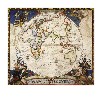
Map of Discovery, Eastern Hemisphere
In 1927, famed American painter N.C. Wyeth completed a series of five murals for Hubbard Memorial Hall, the National Geographic Society's first formal library. Called The Romance of Discovery.
Page Size: 23.5 x 21.5 in (597 x 546 mm)
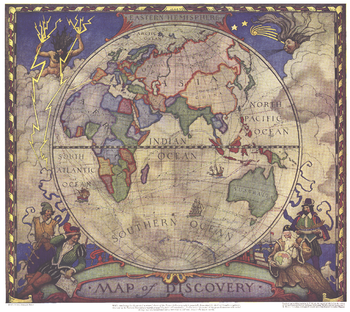
Map of Discovery, Eastern Hemisphere - Published 1928
This historic map of the Eastern Hemisphere simulates the illuminated mariners' charts of the 17th Century. The original murals, painted by N.C. Wyeth, are in Hubbard Hall at the National Geographic Society headquarters.
Page Size: 18.75 x 16.75 in (472 x 422 mm)
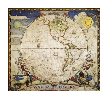
Map of Discovery, Western Hemisphere
In 1927, famed American painter N.C. Wyeth completed a series of five murals for Hubbard Memorial Hall, the National Geographic Society's first formal library. Called The Romance of Discovery.
Page Size: 23.5 x 21.5 in (597 x 546 mm)
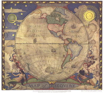
Map of Discovery, Western Hemisphere - Published 1928
In 1927, famed American painter N. C. Wyeth completed a series of five murals for Hubbard Memorial Hall, the National Geographic Society's first formal library. The Map of Discovery: Western Hemisphere, published in January 1929, is one of those outstanding murals. It features Poseidon and a mermaid keeping watch over the oceans as well as the routes of explorers and dates of expeditions.
Page Size: 18.75 x 16.75 in (474 x 421 mm)
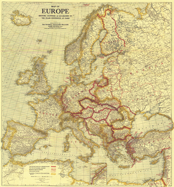
Map of Europe Showing the Countries Established by the Peace Conference of Paris - Published 1921
A must-have for history buffs, this map depicts Europe as established by the Peace Conference of Paris. New political borders, borders as they existed before World War I, international territories, and territories subject to plebiscite are detailed on this map which accompanied three articles on Europe in the February 1921 issue of National Geographic including "Czechoslovakia, Key-Land to Central Europe."
Page Size: 31.25 x 33.5 in (787 x 845 mm)
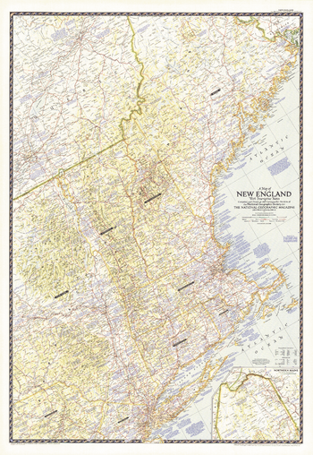
Map of New England with Descriptive Notes - Published 1955
This New England map contains an abundance of historical notes overlaying the fine cartography for which National Geographic. Explore the rich history and vibrant modern sites of Maine, Vermont, New Hampshire, Massachusetts, Connecticut, Rhode Island, and neighboring states. Published in June 1955.
Page Size: 29.75 x 43 in (751 x 1089 mm)
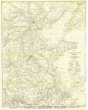
Map of North Eastern China - Published 1900
The first map of China printed by National Geographic, this historic black and white map is a true collector's item. Published in September 1900, it features translations of common terms and items of note such as the Great Wall and imperial tomb sites.
Page Size: 30 x 37.25 in (757 x 943 mm)
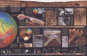
Mars Revealed, A New Look at Forces That Shape the Desert Planet - Published 2001
New close-in looks at Mars offer startling clues that wind and possibly water and lava are still changing the face of the Red Planet. Compelling photos, informative graphics, and colorful relief maps reveal Mars in a way never seen before. Published in February 2001, this map represented half of a two-map set with "Destination Mars." Together, these fascinating maps reveal a wealth of information about this mysterious, Earth-like planet.
Page Size: 31.25 x 20.25 in (793 x 511 mm)
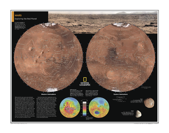
Mars: Exploring the Red Planet - Atlas of the World, 10th Edition
null
Page Size: 28 x 22 in (711 x 559 mm)
Mars: Exploring the Red Planet - Atlas of the World, 11th Edition
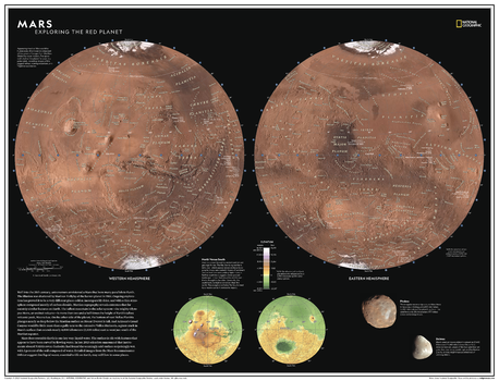
Well into the 20th century, astronomers envisioned a Mars that bore many parallels to Earth. The illusion was shattered by Mariner 4's flyby of the barren planet in 1965. Subsequent exploration has proved it to be a very different place: colder, incomparably drier, and with a thin atmosphere composed mostly of carbon dioxide. Martian topography reveals extremes that far outstrip similar features on Earth; the tallest mountain in the solar system - the mighty volcano Olympus Mons - is more than two and a half times the height of Earth's tallest volcanic peak, Mauna Loa.
Explore Earth's most researched neighbor with this compelling and attractive map of Mars! This dual hemisphere map, though depicting a world alien to our own, elicits a sense of familiarity with the way it is presented. Drawn in Lambert Azimuthal Equal-Area projection, this map offers a uniquely detailed look into the planet's physical features. A drawn fresco of Mars' rugged, inhabitable landscape provides context, as does a separate elevation map.
This map is an attractive product for the budding astronomer. It makes an essential companion to Milky Way: Earth's Galactic Home, and its size makes it perfect for a gallery wall.
This map is found in National Geographic's 11th Edition World Atlas and is now available as a stand alone product.
Page Size: 31.5 x 24 in (798 x 610 mm)
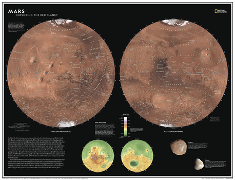
Mars: Exploring the Red Planet - Atlas of the World, 11th Edition - Compact
Well into the 20th century, astronomers envisioned a Mars that bore many parallels to Earth. The illusion was shattered by Mariner 4's flyby of the barren planet in 1965. Subsequent exploration has proved it to be a very different place: colder, incomparably drier, and with a thin atmosphere composed mostly of carbon dioxide. Martian topography reveals extremes that far outstrip similar features on Earth; the tallest mountain in the solar system - the mighty volcano Olympus Mons - is more than two and a half times the height of Earth's tallest volcanic peak, Mauna Loa.
Explore Earth's most researched neighbor with this compelling and attractive map of Mars! This dual hemisphere map, though depicting a world alien to our own, elicits a sense of familiarity with the way it is presented. Drawn in Lambert Azimuthal Equal-Area projection, this map offers a uniquely detailed look into the planet's physical features. A drawn fresco of Mars' rugged, inhabitable landscape provides context, as does a separate elevation map.
This map is an attractive product for the budding astronomer. It makes an essential companion to Milky Way: Earth's Galactic Home, and its size makes it perfect for a gallery wall.
This map is found in National Geographic's 11th Edition World Atlas and is now available as a stand alone product.
Page Size: 21.5 x 16.25 in (540 x 413 mm)
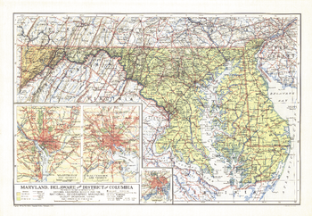
Maryland, Delaware and District of Columbia - Published 1927
Published in February 1927, the Maryland, Delaware and District of Columbia map contains detailed insets of the cities of Baltimore, Wilmington, and Washington. The weight of type used for names gives a clue to the population of the cities at the time.
Page Size: 19.75 x 13.5 in (496 x 343 mm)
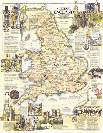
Medieval England - Published 1979
This map of Medieval England contains a wealth of historical information and sites as well as beautiful illustrations. Published in October 1979 as a companion to the modern map "British Isles".
Page Size: 22.75 x 29.25 in (575 x 743 mm)
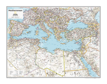
Mediterranean Region - Atlas of the World, 10th Edition
null
Page Size: 28 x 22 in (711 x 559 mm)