


National Geographic

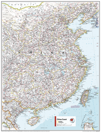
China Coast - Atlas of the World, 11th Edition
This China coast map of physical and political features can fit in any space. Showcasing the region in stunning detail with state-of-the-art cartographic techniques delivering accuracy and exceptional quality, the innovative and engaging design makes the content easily accessible and user-friendly.
Ideal for classrooms with an emphasis on teaching geography or environmental themes. The inclusion of physical features gives your students a genuine feel for how our world appears.
This map uses a bright, easy to read color palette featuring blue oceans and stunning shaded relief that has been featured on National Geographic wall maps for over 75 years.It is drawn in the Lambert Conformal Conic projection, which seats a cone over the sphere of the Earth and projects the surface conformally onto the cone.
Names of geographic features are carefully placed on the map to maintain legibility.
This map is found in National Geographic's 11th Edition World Atlas and is now available as a stand alone product.
Page Size: 24 x 31.5 in (610 x 798 mm)
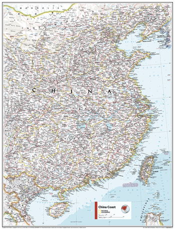
China Coast - Atlas of the World, 11th Edition - Compact
This China coast map of physical and political features can fit in any space. Showcasing the region in stunning detail with state-of-the-art cartographic techniques delivering accuracy and exceptional quality, the innovative and engaging design makes the content easily accessible and user-friendly.
Ideal for classrooms with an emphasis on teaching geography or environmental themes. The inclusion of physical features gives your students a genuine feel for how our world appears.
This map uses a bright, easy to read color palette featuring blue oceans and stunning shaded relief that has been featured on National Geographic wall maps for over 75 years.It is drawn in the Lambert Conformal Conic projection, which seats a cone over the sphere of the Earth and projects the surface conformally onto the cone.
Names of geographic features are carefully placed on the map to maintain legibility.
This map is found in National Geographic's 11th Edition World Atlas and is now available as a stand alone product.
Page Size: 16.25 x 21.5 in (413 x 540 mm)
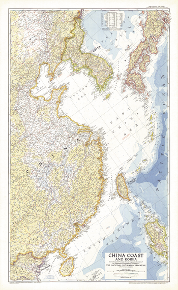
China Coast and Korea - Published 1953
This detailed map of the China coast and Korea was published in October 1953, just months after the end of the Korean War. It accompanied the article "Our Navy in the Far East."
Page Size: 26 x 42.5 in (659 x 1074 mm)
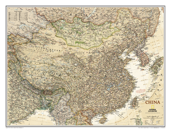
China Executive
This elegant, richly colored antique-style map of China features the incredible cartographic detail that is the trademark of National Geographic quality.<br><br>The China Executive wall map accurately shows locations of provincial boundaries, cities and towns, major highways and roads, rivers and waterways, and other geographic features.
Page Size: 30.5 x 23.75 in (770 x 600 mm)
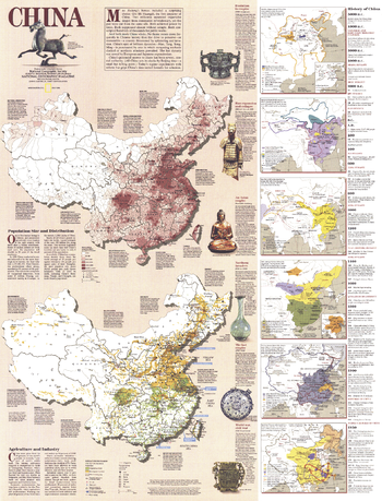
China History - Published 1991
Packed with both historical, economic, and social data, this work includes two large maps detailing China's population density and industry and agriculture, as well as six smaller maps illustrating historical periods. A companion to the physical and political map of China included in this July 1991 issue of National Geographic, it also accompanied an article entitled "China's Youth Wait for Tomorrow."
Page Size: 22 x 29 in (557 x 731 mm)
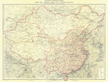
China and Its Territories - Published 1912
Discover China at a turning point in its history. In 1912, over 2,000 years of imperial rule ended as the last emperor of the Qing dynasty abdicated and the Republic of China was born. This beautiful map appeared in National Geographic Magazine in October of 1912, along with three articles on China including "The Most Extraordinary City in the World: Notes on Lhasa - The Mecca of the Buddhist Faith." A perfect companion for the maps of China published in 1945, 1964, and 1991.
Page Size: 22.75 x 17.25 in (577 x 436 mm)
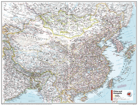
China and Mongolia - Atlas of the World, 11th Edition
This China and Mongolia map of physical and political features can fit in any space. Showcasing the countries in stunning detail with state-of-the-art cartographic techniques delivering accuracy and exceptional quality, the innovative and engaging design makes the content easily accessible and user-friendly.
Ideal for classrooms with an emphasis on teaching geography or environmental themes. The inclusion of physical features gives your students a genuine feel for how our world appears.
This map uses a bright, easy to read color palette featuring blue oceans and stunning shaded relief that has been featured on National Geographic wall maps for over 75 years. It is drawn in Conic projection, in which an area of the earth is projected onto a cone whose vertex is usually above one of the poles, then unrolled onto a flat surface.
Names of geographic features are carefully placed on the map to maintain legibility.
This map is found in National Geographic's 11th Edition World Atlas and is now available as a stand alone product.
Page Size: 31.5 x 24 in (798 x 610 mm)
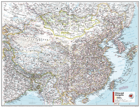
China and Mongolia - Atlas of the World, 11th Edition - Compact
This China and Mongolia map of physical and political features can fit in any space. Showcasing the countries in stunning detail with state-of-the-art cartographic techniques delivering accuracy and exceptional quality, the innovative and engaging design makes the content easily accessible and user-friendly.
Ideal for classrooms with an emphasis on teaching geography or environmental themes. The inclusion of physical features gives your students a genuine feel for how our world appears.
This map uses a bright, easy to read color palette featuring blue oceans and stunning shaded relief that has been featured on National Geographic wall maps for over 75 years. It is drawn in Conic projection, in which an area of the earth is projected onto a cone whose vertex is usually above one of the poles, then unrolled onto a flat surface.
Names of geographic features are carefully placed on the map to maintain legibility.
This map is found in National Geographic's 11th Edition World Atlas and is now available as a stand alone product.
Page Size: 21.5 x 16.25 in (540 x 413 mm)
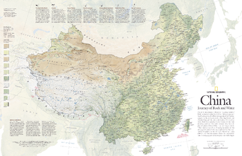
China, Journey of Rock and Water - Published 2008
One of the most dramatic collisions in the geologic annals of Earth transformed the land that is now China. India's tectonic crash into Eurasia starting 35 million years ago raised the Himalaya and lifted the plateau of Tibet. The new elevations shifted climate patterns, created deserts to the north and drenched southeast China with monsoon rains. This detailed physical map of China depicts the country's wide range of land cover including forests, grasslands, row crops, bare ground, deserts, and more. Published in May 2008, this map was half of a two-map set with "The Forbidden City."
Page Size: 31.25 x 20.25 in (789 x 510 mm)
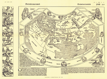
Chronicon Nurembergense 1493 Map - Published 1893
Originally produced only in woodcut form, the Chronicon Nurembergense Map of 1493 was published in National Geographic Magazine in April 1893, just five years after the Society's inception. This Latin version was first published in April of 1493, followed by a German version in December of the same year. A perfect companion to the world map by Johannes Ruysch.
Page Size: 21.75 x 16 in (547 x 406 mm)
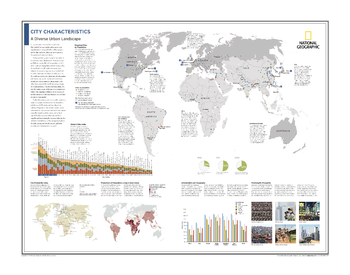
City Characteristics: A Diverse Urban Landscape - Atlas of the World, 10th Edition
Mapping Cities by Population; Global Cities Index; City Prosperity Index; Proportion of Population Living in Slum Areas; Urbanization and Geography; Planning for Prosperity
Page Size: 28 x 22 in (711 x 559 mm)
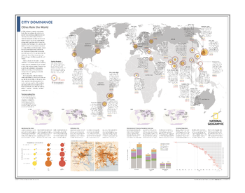
City Dominance: Cities Rule the World - Atlas of the World, 10th Edition
Gaining Numbers; Tracking Leading Cities; Identifying City Sizes; Defining a City; Distribution of Cities by Population and Area; Growing Megacities
Page Size: 28 x 22 in (711 x 559 mm)
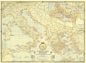
Classical Lands of the Mediterranean - Published 1940
This map was published in March 1940 in an issue of National Geographic entirely devoted to the Classical Lands of the Mediterranean. An abundance of historical notes and detailed inset maps of ancient Athens, ancient Rome, and the Roman Empire illustrate the rich history of the region. This educational map also features an attractive border showing the twelve signs of the zodiac.
Page Size: 35.25 x 25.75 in (893 x 652 mm)
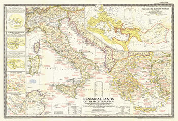
Classical Lands of the Mediterranean - Published 1949
Following World War II, Greece endured a bitter civil war that ended a couple months before this map was published in December 1949. The Classical Lands of the Mediterranean map celebrates the magnificent history of the Greek, Roman, and Phoenician civilizations with informative inset maps and an abundance of notes about historical and mythological sites.
Page Size: 32 x 22 in (809 x 553 mm)
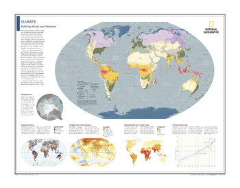
Climate: Shifting Winds and Weather - Atlas of the World, 10th Edition
Climatic Zones; Shrinking Polar Ice; Mapping Precipitation; Taking the Planet's Rising Temperature; Mapping the Health Toll of Climate Change; Charting Sea-Level Change
Page Size: 28 x 22 in (711 x 559 mm)
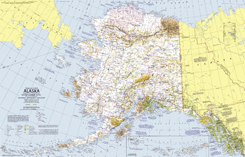
Close-up USA, Alaska - Published 1975
This map of Alaska, the largest state in the United States, lets you discover the region's incomparable wilderness and compelling history. Features parks, forests, and wildlife refuges, showing both existing sites and proposed areas. Published in June 1975 as part of the "Close-up: U.S.A." series, with two articles including "Preserving America's Last Great Wilderness."
Page Size: 35 x 22.75 in (888 x 572 mm)
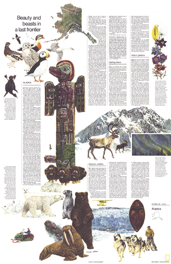
Close-up USA, Alaska Theme - Published 1975
The "Alaska: Beauty and Beasts in a Last Frontier" travel poster is half of a two-map set published in June 1975 as part of the "Close-up: U.S.A" series. A wonderful companion to the Alaska map, this poster contains a wealth of information on the wildlife, sites of interest, and travel options in Alaska including tips on driving there via the Alaskan Highway.
Page Size: 22.75 x 35 in (575 x 886 mm)
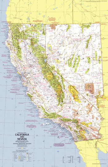
Close-up USA, California and Nevada - Published 1974
This map of California ("The Golden State") and its neighbor, Nevada ("The Silver State"), lets you explore the remarkable diversity of this region of the United States. Features a wealth of travel and tourism information as well as an abundance of historical notes. Published in June 1974 as part of the "Close-up: U.S.A." series, with the travel poster "California and Nevada: Storied Realm of Glitter and Greenery."
Page Size: 23 x 35 in (578 x 887 mm)
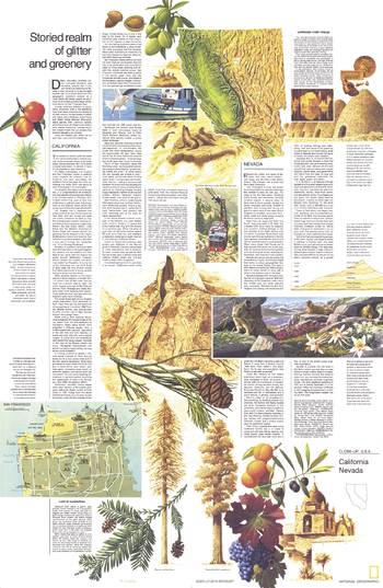
Close-up USA, California and Nevada Theme - Published 1974
Half of a two-piece set, the "California and Nevada: Storied Realm of Glitter and Greenery" travel poster accompanied the California and Nevada map in the "Close-up: U.S.A" series. Published in June 1974, this work features a map of San Francisco and an abundance of information about the history, tourist activities, and geography of these two exciting states.
Page Size: 23 x 35 in (578 x 887 mm)
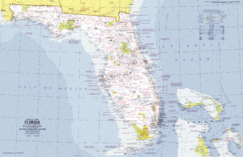
Close-up USA, Florida - Published 1973
This informative map lets you explore Florida, the "Sunshine State", including the wilderness of the Everglades, Miami's cosmopolitan beaches, and the fun of Disney World. Published in November 1973 as part of the "Close-up: U.S.A." series.
Page Size: 35.25 x 23 in (890 x 578 mm)