The Dividing Link, Mexico and Central America - Published 2007
National Geographic
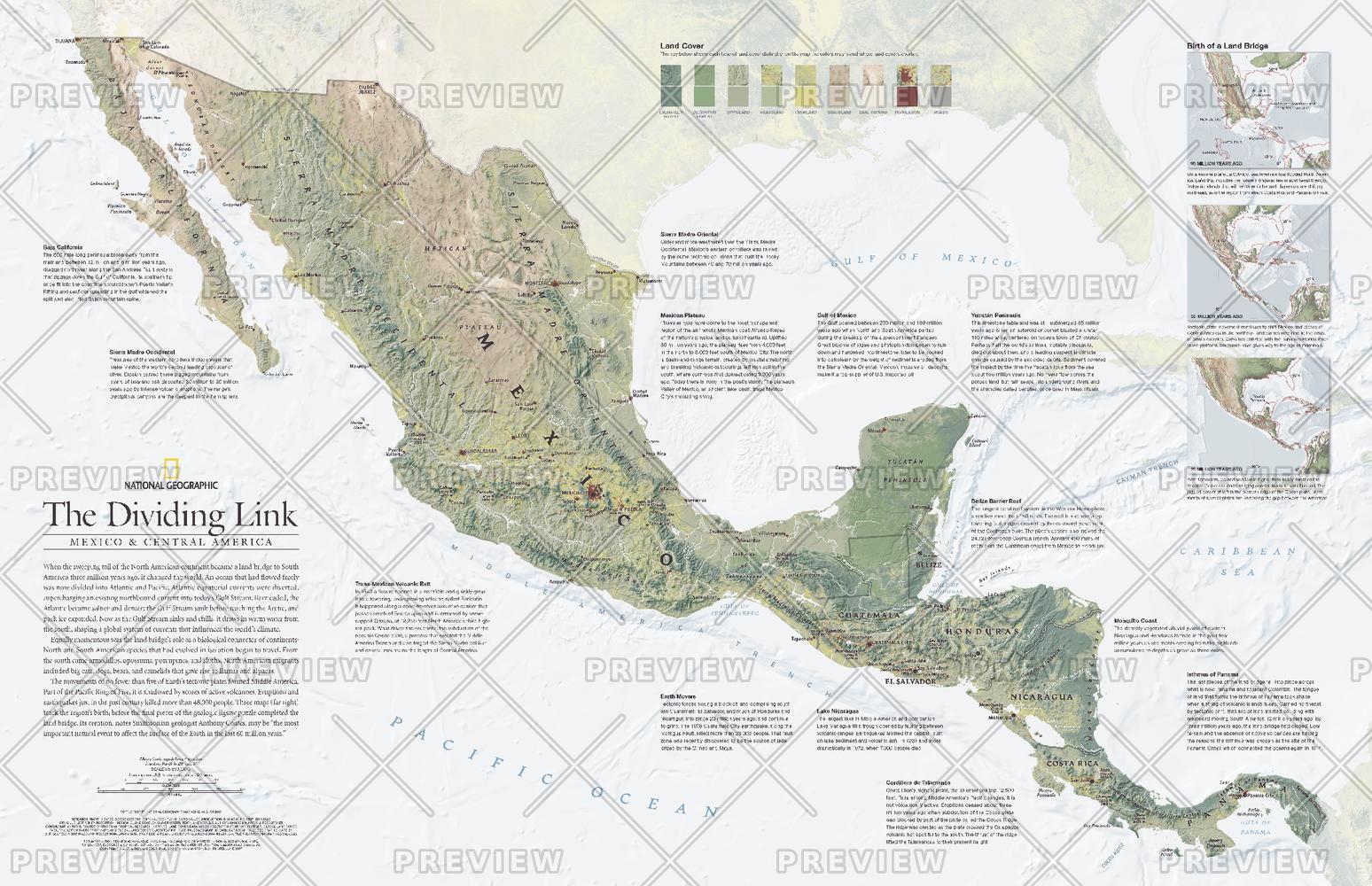
When the sweeping tail of the North American continent became a land bridge to South America three million years ago, it changed the world. An ocean that had once flowed freely was now divided into Atlantic and Pacific. Its effect on ocean currents influenced the world's climate and the land bridge became a biological connector as well when species that had developed in isolation began to travel between continents. This detailed physical map of Mexico and Central America includes three maps which track the region's birth, before the final pieces of the geologic jigsaw puzzle completed the land bridge. Published in August 2007, this map was half of a two-map set with a political map of Mexico and Central America.
Page Size: 31.25 x 20.25 in (790 x 510 mm)
Buy this map on MapTrove.ca or MapTrove.com