top of page
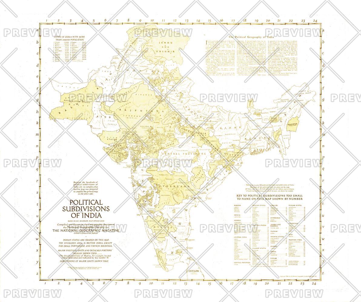
Political Subdivisions of India - Published 1946
National Geographic
Because the hundreds of political subdivisions of India are so complex, this outline map was prepared to amplify the map of India and Burma which appeared in the same issue. Published in April 1946 with three articles on India, these historical maps capture the region known then as India a year before the independent countries of India and Pakistan were formed.
Page Size: 31 x 26.25 in (787 x 661 mm)
Buy this map on MapTrove.ca or MapTrove.com
bottom of page