top of page
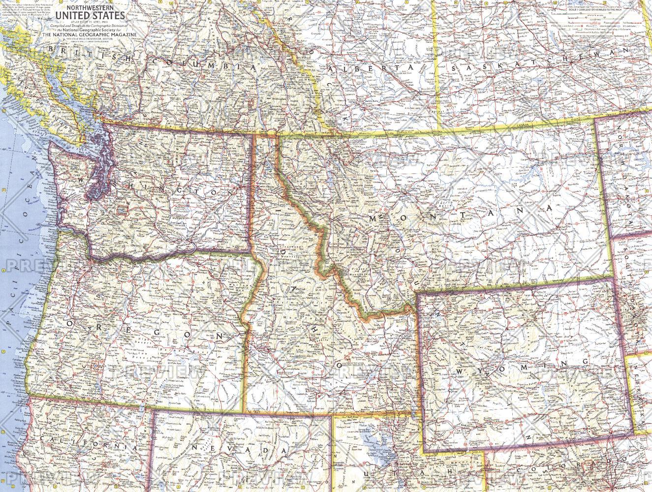
Northwestern United States - Published 1960
National Geographic
This map of the Northwestern United States features Washington, Oregon, Idaho, Montana, and Wyoming. Intercontinental ballistic missile bases make it evident that this map was printed during a particularly strained period of the Cold War. Published in April 1960, it is part of a series of six sectional maps of the United States published between 1958 and 1961.
Page Size: 25 x 19 in (634 x 478 mm)
Buy this map on MapTrove.ca or MapTrove.com

bottom of page


