top of page
North Carolina Tennessee Cumerberland Blue Ridge - Published 1889
National Geographic
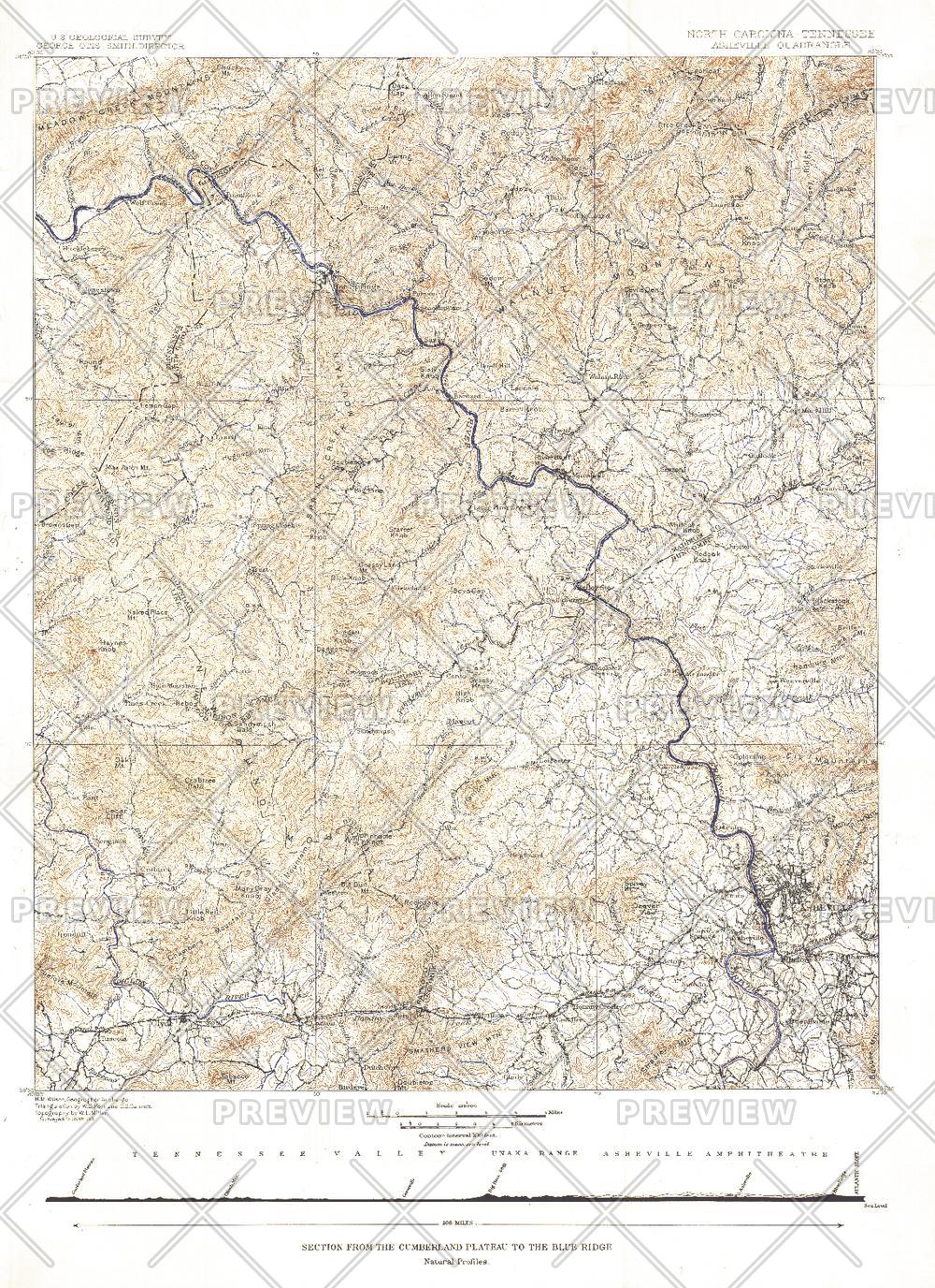
Published in October 1889, the "North Carolina-Tennessee: Asheville Sheet" map shows the area from the Cumberland Plateau to the Blue Ridge Mountains. This intricately drawn map shows the city of Asheville and other towns throughout the region. A unique historical map for collectors.
Page Size: 16 x 22 in (403 x 554 mm)
Buy this map on MapTrove.ca or MapTrove.com
bottom of page