top of page


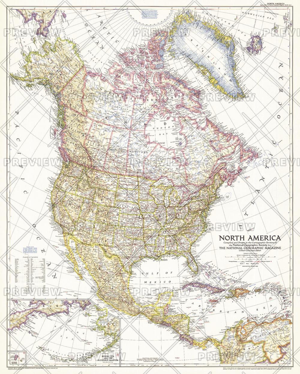
North America - Published 1952
National Geographic
The North America map of March 1952 includes Central America and the West Indies as well as inset maps of both the Aleutian and Diomede Islands. Of particular note is the absence of the Interstate Highway System in the United States which was yet to be built.
Page Size: 28 x 35 in (709 x 883 mm)
Buy this map on MapTrove.ca or MapTrove.com
bottom of page