top of page
Iraq Classic
National Geographic
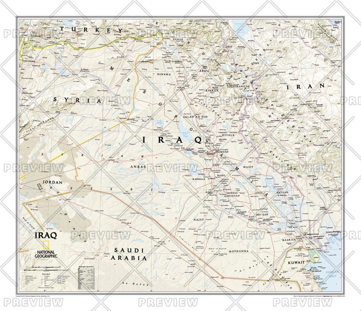
Wallmap of Iraq, features the classic National Geographic reference styling. Includes hundreds of place names, accurate political boundaries, and major infrastructure networks such as roads, oil fields and pipelines, aqueducts, and railroads. Iraq's terrain is detailed through accurate shaded relief and symbolism for water features and other landforms. This map also includes table of geographic equivalents translated into English. Elevations of major peaks and depth soundings are expressed in meters. The bordering countries of Iran, Syria, Saudi Arabia, Kuwait, Jordan and Turkey are also shown.
Page Size: 28.75 x 24.75 in (727 x 625 mm)
Buy this map on MapTrove.ca or MapTrove.com
bottom of page