top of page
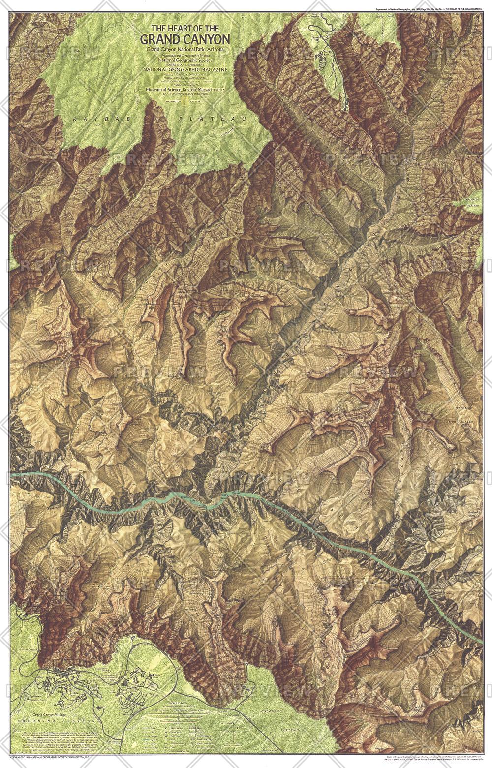
Heart of the Grand Canyon - Published 1978
National Geographic
Compiled from aerial photographs taken in 1972 and field surveying, this map provides striking topography of the canyon and detail of its park facilities, trails, campgrounds, and more. Published in July 1978 as half of a two–map set with "The Grand Canyon of the Colorado", and a companion to two articles on the park.
Page Size: 22.5 x 35 in (568 x 886 mm)
Buy this map on MapTrove.ca or MapTrove.com

bottom of page


