Cuba Classic
National Geographic
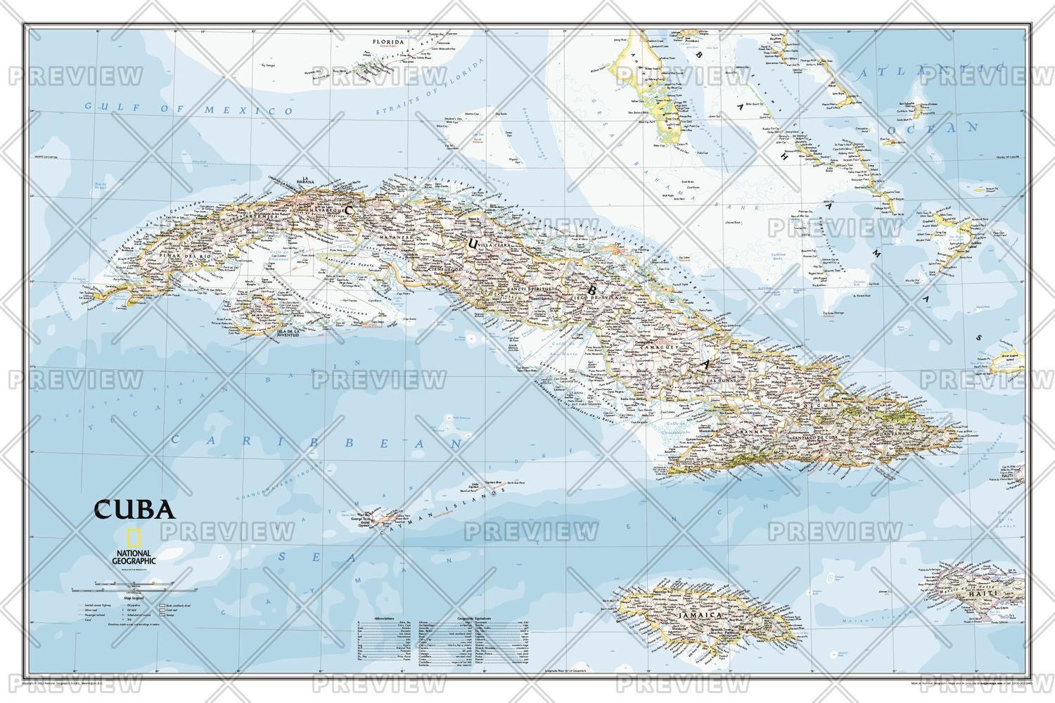
The most accurate and detailed reference map available for the iconic Caribbean island nation. <br><br>Cuba's many offshore islands, reefs, and rivers are noted, as are sites of interest including national parks, mountains, swamps, and coastal reefs. Ocean bathymetry, peak elevations, and handcrafted shaded relief provide topographical detail. Jamaica, the Cayman Islands, the Florida Keys, and most of the Bahamas and Haiti are shown, presenting Cuba in the context of its important geographical position in the Caribbean.<br><br>Includes thousands of place names in Spanish and English, accurate political boundaries and major transportation features including highways, roads, canals, ferry routes, and airports.<br><br>Popular places on the map include Havana, Pinar del Rio, Baracoa, Trinidad, Caya Largo, Santa Clara, Varadera, and Isla de la Juventad.
Page Size: 36 x 24 in (914 x 610 mm)
Buy this map on MapTrove.ca or MapTrove.com