top of page
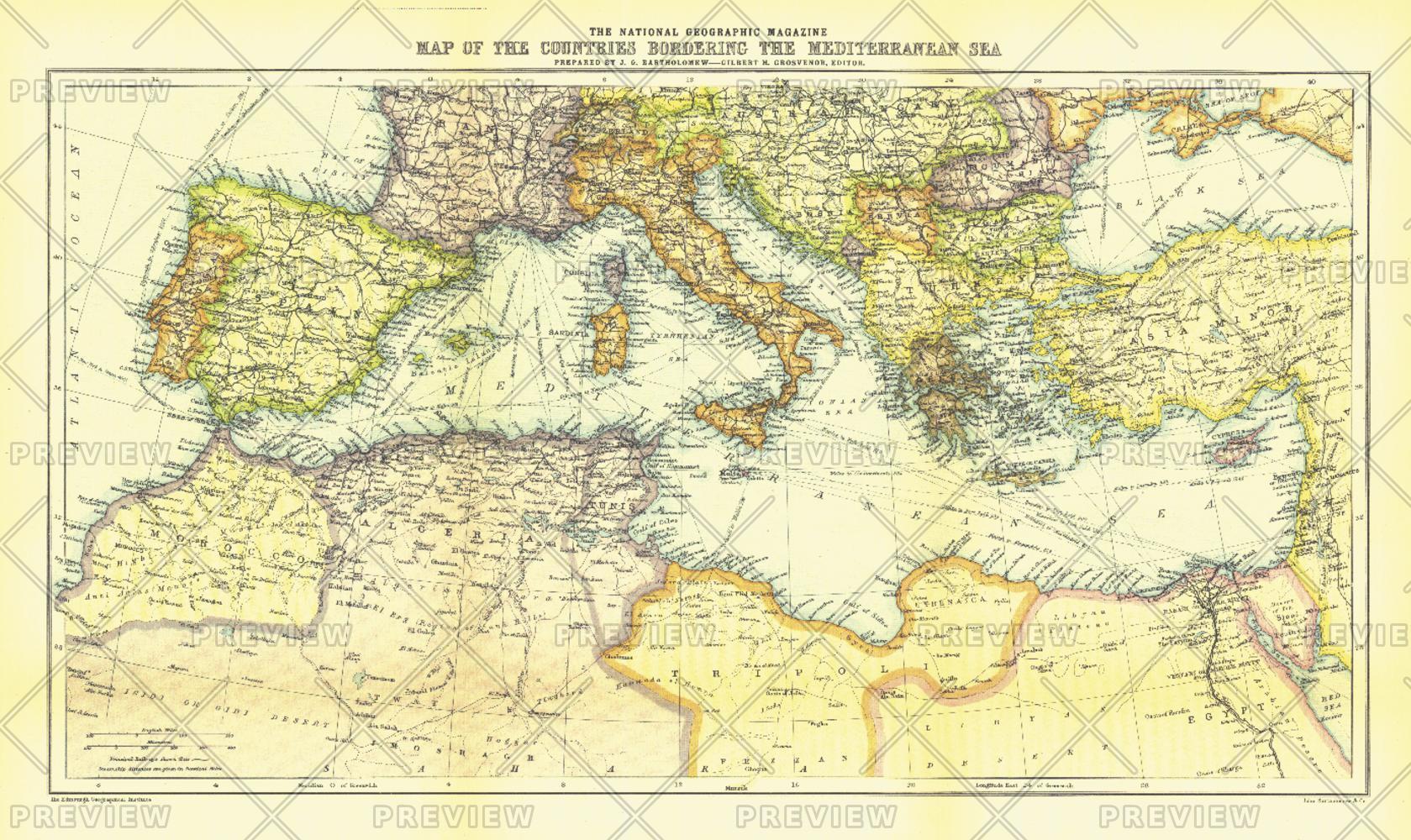
Countries Bordering the Mediterranean Sea - Published 1912
National Geographic
The Map of Countries Bordering the Mediterranean Sea was published in January 1912, prior to the First Balkan War. This colorful map accompanied three articles of the region including "The Sea-Kings of Crete."
Page Size: 19.5 x 11.5 in (490 x 292 mm)
Buy this map on MapTrove.ca or MapTrove.com

bottom of page


