top of page
Close-up USA, Wisconsin, Michigan, and the Great Lakes - Published 1973
National Geographic
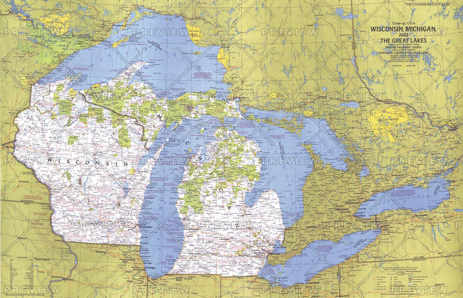
This map of the United States side of the western Great Lakes highlights the states of Wisconsin and Michigan. It details the vacation areas and sites throughout this beautiful region. Published in August 1973 as part of the "Close-up: U.S.A." series, with the travel poster "Wisconsin, Michigan, and the Great Lakes: Land Between the Waters."
Page Size: 35.25 x 22.75 in (889 x 573 mm)
Buy this map on MapTrove.ca or MapTrove.com
bottom of page