top of page
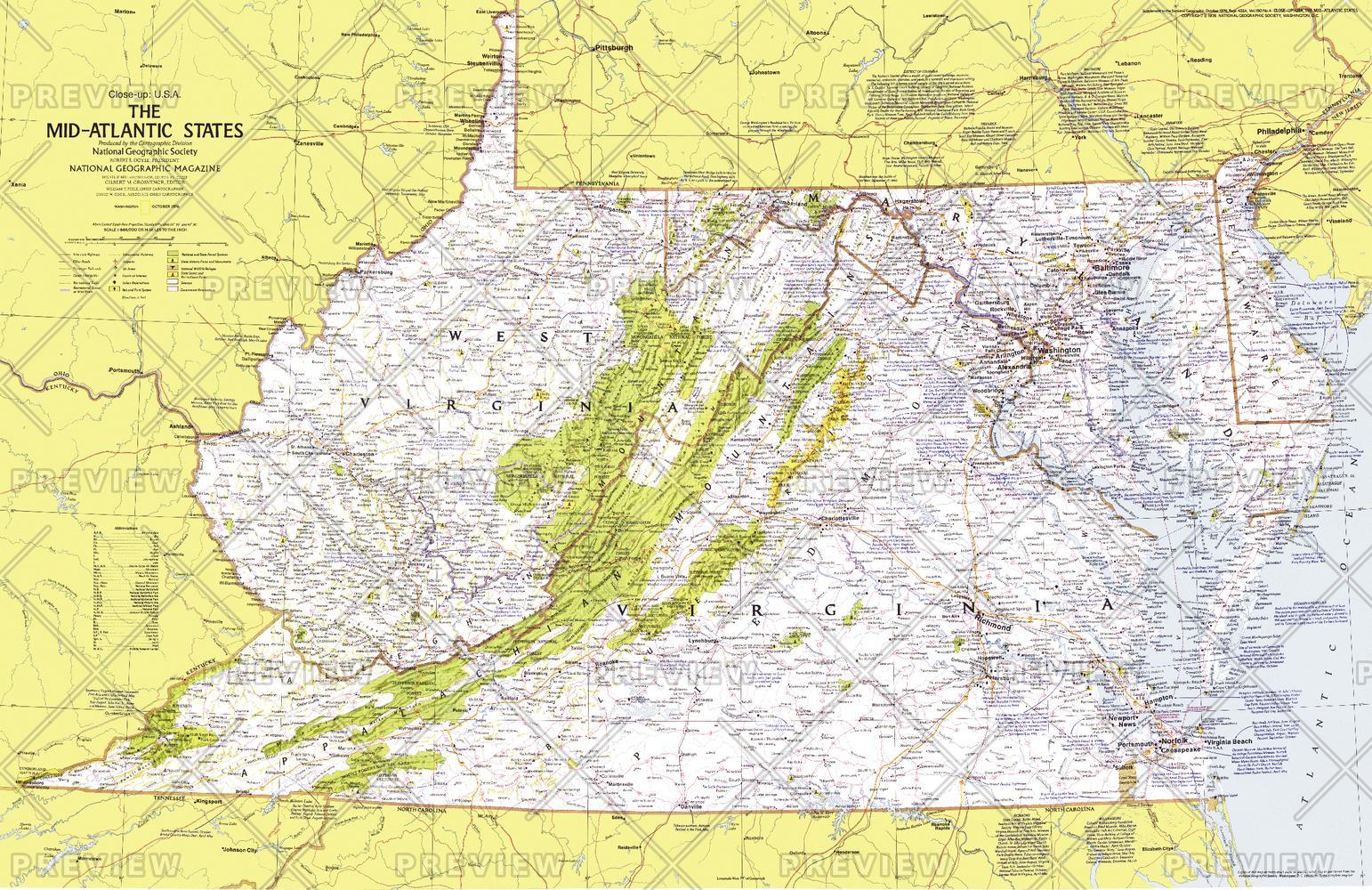
Close-up USA, Mid-Atlantic States - Published 1976
National Geographic
This map details the Mid-Atlantic United States. Explore the earliest English settlements in North America, Revolutionary War and Civil War sites, and the nation's capital. Published in October 1976 as part of the "Close-up: U.S.A." series, with the travel poster "Maryland, Virginia, Delaware, West Virginia: Beckoning Land Beside Bay and Sea" and two articles on the Potomac River.
Page Size: 35 x 22.75 in (888 x 576 mm)
Buy this map on MapTrove.ca or MapTrove.com
bottom of page