top of page
Canada, Alaska and Greenland - Published 1947
National Geographic
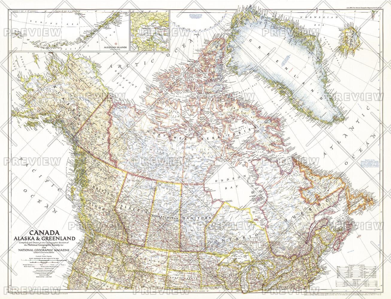
This unique map of Canada, Alaska and Greenland shows North America's northernmost reaches. Published in June 1947, this map provides a snapshot of Canada two years before the Dominion of Newfoundland became its tenth province.
Page Size: 34.5 x 26.5 in (875 x 670 mm)
Buy this map on MapTrove.ca or MapTrove.com
bottom of page