top of page
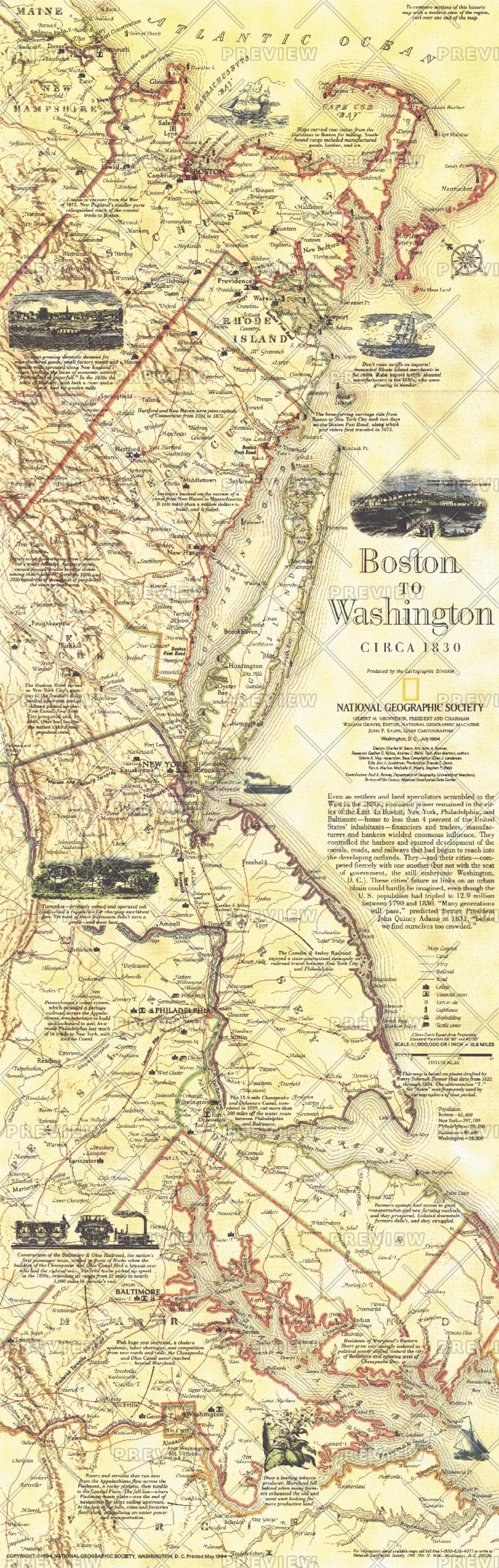
Boston To Washington Circa 1830 - Published 1830
National Geographic
This historical map is based on plates drafted by Henry Schenk Tanner which cover the Atlantic Coast from Boston to Washington, D.C. Features a variety of historical notes and illustrations. Published in July 1994 as half of a two–map set with "Boston to Washington, Megalopolis."
Page Size: 10 x 31.25 in (252 x 792 mm)
Buy this map on MapTrove.ca or MapTrove.com
bottom of page