top of page
Antarctica - Published 1957
National Geographic
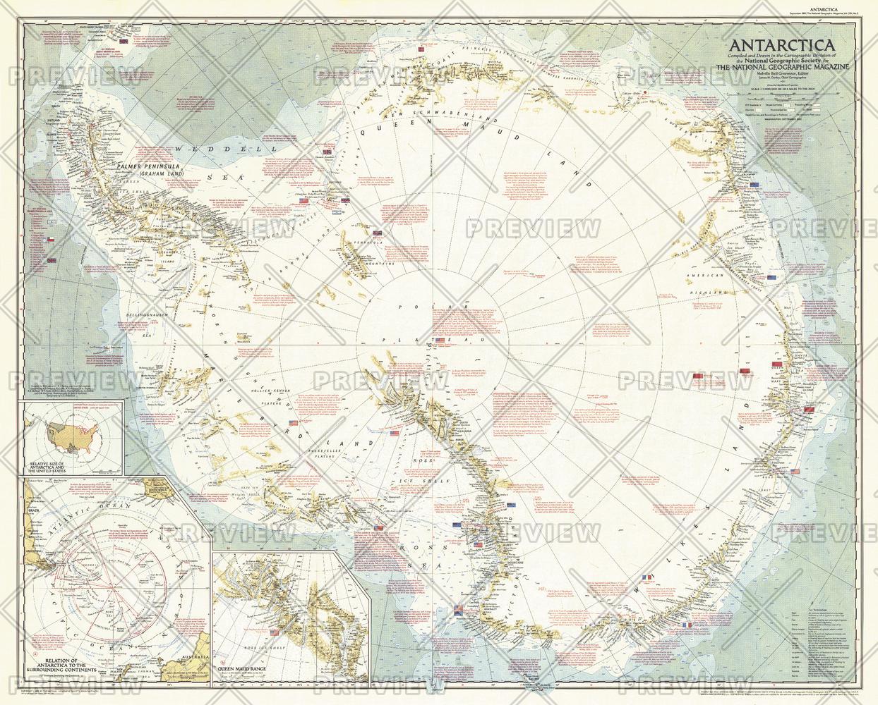
This striking map captures Antarctica at a pivotal time during its exploration. Contains a great amount of detail of both the geography and history of the multi–national expeditions that have traversed the icy continent. Published in 1957, just six months after the death of famed American polar explorer Admiral Richard E. Byrd, with the article "Year of Discovery Opens in Antarctica."
Page Size: 36.25 x 29 in (915 x 735 mm)
Buy this map on MapTrove.ca or MapTrove.com
bottom of page