top of page
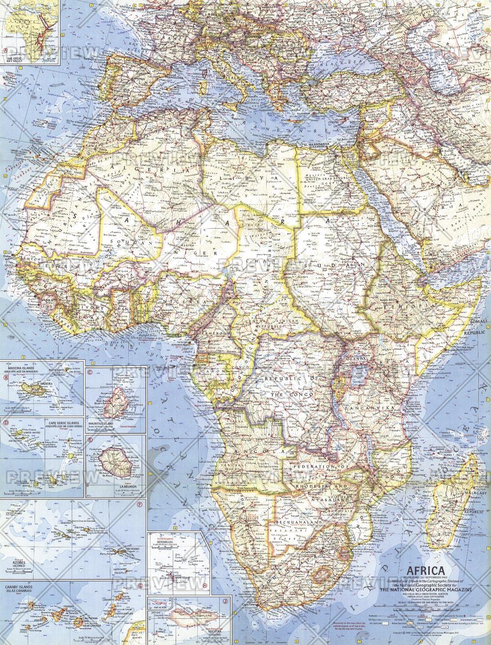
Africa - Published 1960
National Geographic
This map was created when many African nations were struggling and winning their independence from colonization. Features country boundaries as they existed on July 15, 1960. Published in September 1960 with three articles including "Africa: The Winds of Freedom Stir a Continent."
Page Size: 19 x 25 in (480 x 631 mm)
Buy this map on MapTrove.ca or MapTrove.com
bottom of page