top of page
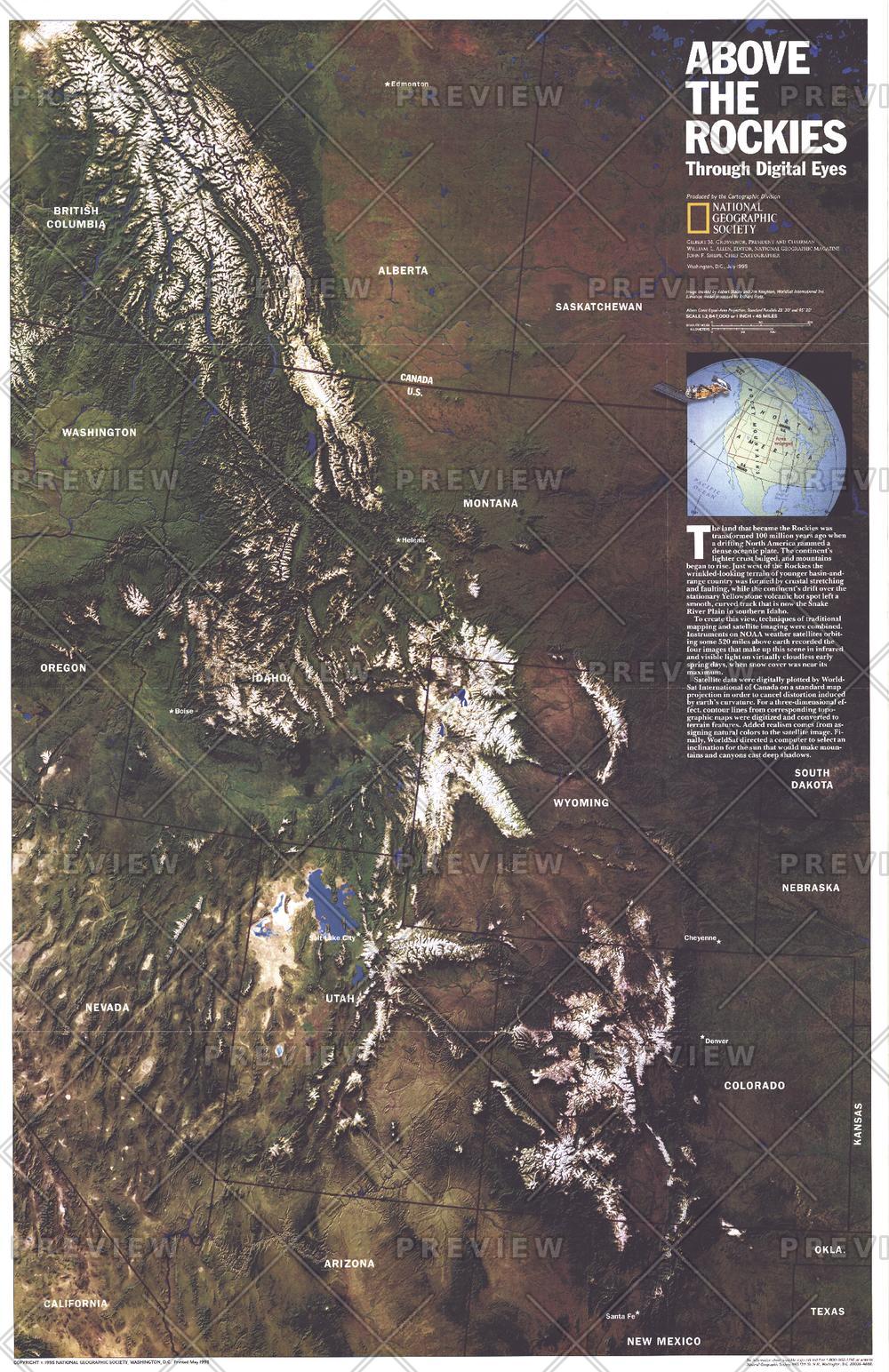
Above the Rockies - Published 1995
National Geographic
NOAA satellite imaging formed the basis of this fascinating map of the Rocky Mountain region which was then computer-enhanced by WorldSat International of Canada. Published in July 1995, this map accompanied the "Heart of the Rockies" tourist map.
Page Size: 20.25 x 31.25 in (513 x 792 mm)
Buy this map on MapTrove.ca or MapTrove.com

bottom of page


