top of page
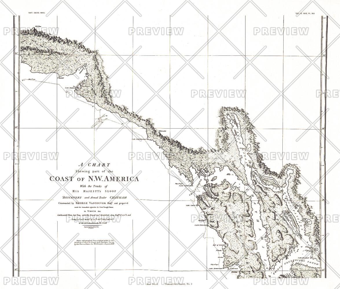
A Chart showing part of the Coast of NW America Side 2 - Published 1899
National Geographic
A Chart Showing Part of the Coast of NW America (Vancouver's Chart, No. 2) shows half of a chart of the coast of the Alaskan Panhandle and British Columbia including the Admiralty Island, Lynn Canal, and Prince Frederick's Sound. An antique black and white map perfect for framing, this map was published in November 1899 as half of a two-map set with the article "The Alaskan Boundary."
Page Size: 21 x 17.75 in (529 x 451 mm)
Buy this map on MapTrove.ca or MapTrove.com
bottom of page