top of page
World Political Map - Large
MapSherpa
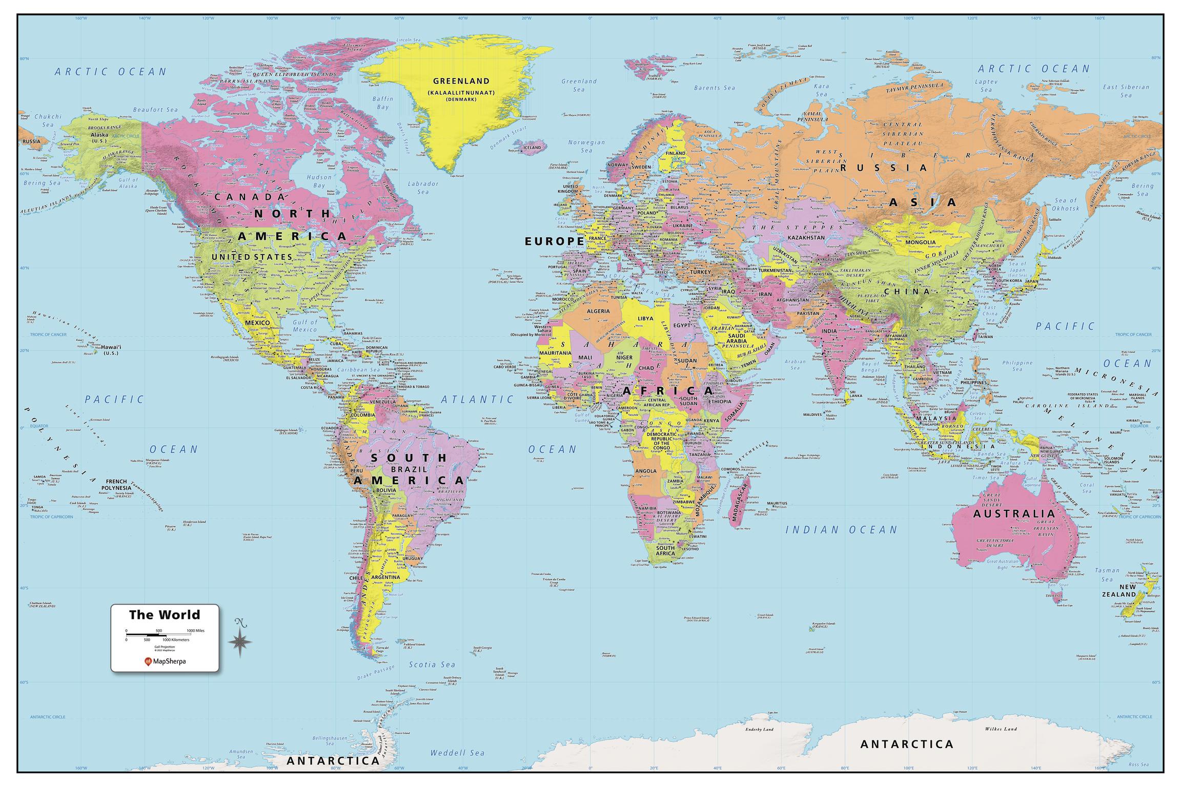
Created specifically for MapSherpa, this World Political Map shows all the countries and land areas that make up our world. Each country, its capital and major cities are noted, as well as the primary physical and water features such as; mountain ranges, rivers, and lakes. Disputed borders, the international date line as well as world time zones are noted. With multiple sizes available, this is the perfect reference map for home, office, or school use.
Page Size: 48 x 32 in (1219 x 813 mm)
Buy this map on MapTrove.ca
bottom of page