top of page
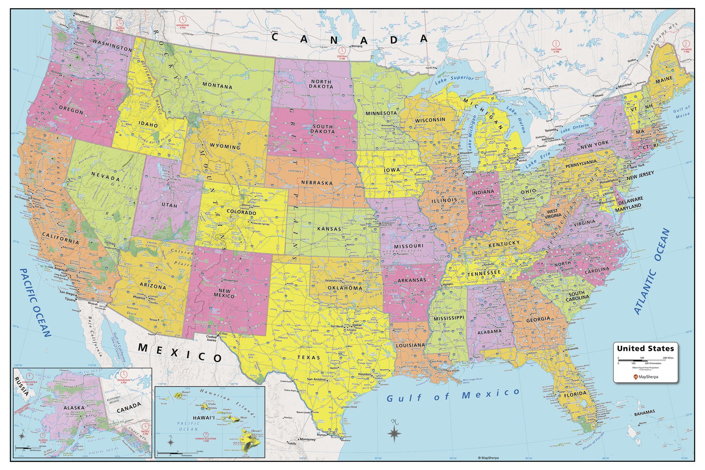
USA Political Map - Large
MapSherpa
Created specifically for MapSherpa, this United States Political Map stretches from the Pacific to the Atlantic Oceans, and the Gulf of Mexico to international neighbor borders, this US Political Map displays all 50 states that make up the country. For readability, each state is easily identified by a different color, the map prominently shows; State capitals, primary cities & towns, major national parks, primary water features, mountain ranges and all time zones. With multiple sizes available, this is the perfect reference map for home, office, or school use.
Page Size: 48 x 32 in (1219 x 813 mm)
Buy this map on MapTrove.ca

bottom of page


